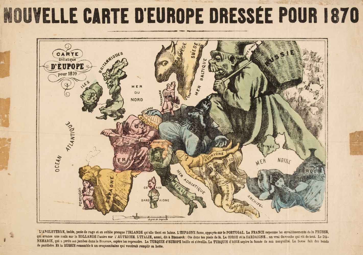
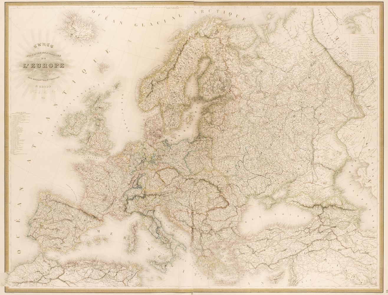
Moll (Herman), To Her most Sacred Majesty Ann, Queen of Great Britain, France & Ireland. This map of Europe according to the newest and most exact observations is most humbly dedicated..., published J. & T. Bowles, P. Overton and J. King, circa 1710, engraved map with contemporary outline colouring, inset map of the proposed artificial channel between the Black and Caspian seas, some browning and staining, old folds strengthened on verso, some marginal fraying and closed tears, library blindstamps affecting image, 585 x 955 mm, together with Jaillot (Alexis - Hubert), Nova Territorii Patisiensis tabula as usum serenissimi Burgundiae ducis / Les Environs de Paris..., circa 1695, engraved map with contemporary hand colouring, some oxidisation to old watercolour, some marginal staining and dust soiling, 485 x 615 mm, with Mercator (Gerard), Hungaria, circa 1620, engraved map with contemporary outline colouring, splits along old plate marks, crudely repaired, 370 x 445 mm, Latin text on verso, plus Jaillot (Hubert), Gouvernement General de Champagne ou sont divisees les Elections de la Generalite de Chaalons..., 1695, engraved map on two sheets with contemporary outline colouring, slight spotting, each sheet 380 x 560 mm, with another nineteen maps of parts of Europe, including examples by Seutter, Ortelius, Mercator, De Wit Jansson and Hondius, most maps with some oxidisation damage and loss, various sizes and condition (24)
Moll (Herman), To Her most Sacred Majesty Ann, Queen of Great Britain, France & Ireland. This map of Europe according to the newest and most exact observations is most humbly dedicated..., published J. & T. Bowles, P. Overton and J. King, circa 1710, engraved map with contemporary outline colouring, inset map of the proposed artificial channel between the Black and Caspian seas, some browning and staining, old folds strengthened on verso, some marginal fraying and closed tears, library blindstamps affecting image, 585 x 955 mm, together with Jaillot (Alexis - Hubert), Nova Territorii Patisiensis tabula as usum serenissimi Burgundiae ducis / Les Environs de Paris..., circa 1695, engraved map with contemporary hand colouring, some oxidisation to old watercolour, some marginal staining and dust soiling, 485 x 615 mm, with Mercator (Gerard), Hungaria, circa 1620, engraved map with contemporary outline colouring, splits along old plate marks, crudely repaired, 370 x 445 mm, Latin text on verso, plus Jaillot (Hubert), Gouvernement General de Champagne ou sont divisees les Elections de la Generalite de Chaalons..., 1695, engraved map on two sheets with contemporary outline colouring, slight spotting, each sheet 380 x 560 mm, with another nineteen maps of parts of Europe, including examples by Seutter, Ortelius, Mercator, De Wit Jansson and Hondius, most maps with some oxidisation damage and loss, various sizes and condition (24)


Try LotSearch and its premium features for 7 days - without any costs!
Be notified automatically about new items in upcoming auctions.
Create an alert