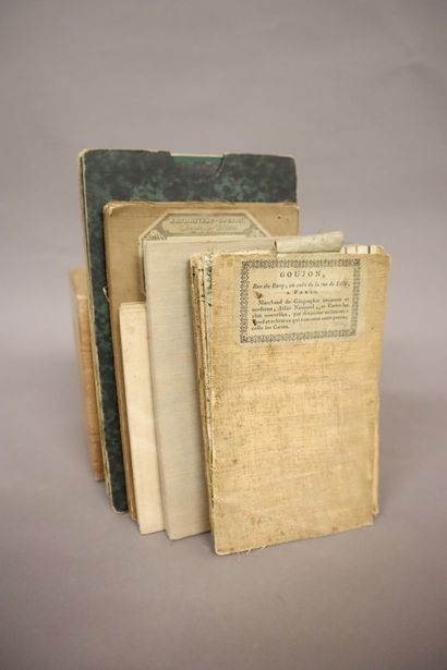
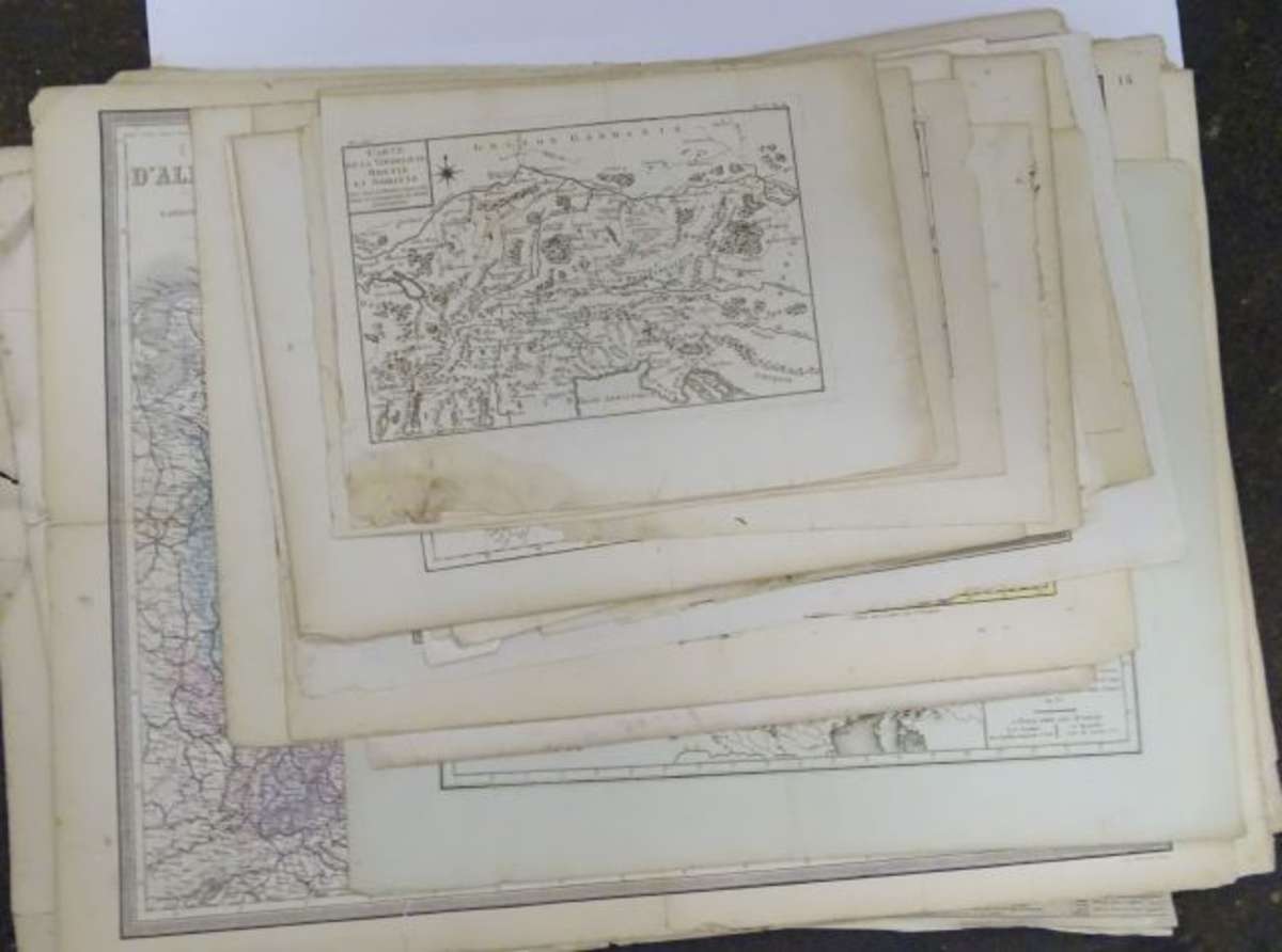
Europe. Andriveau (J. & Goujon J.). Carte Physique et Politique de l'Europe, Paris, 1843, large engraved map with contemporary outline colouring on two conjoined sheets, 975 x 1285 mm, together with De Vaugondy (Robert). L'Europe Divisée en ses Principaux Etats..., Paris, 1751, engraved map with contemporary outline colouring and some later enhancement to the cartouche and mileage scale, central fold split at the base and partially repaired on verso, 485 x 580 mm, with Philip (George & Son, publishers). Europe, circa 1860, lithographic map with contemporary outline colouring, one short marginal closed tear, 515 x 620 mm, plus Bartholomew (J. publisher). Europe, Edinburgh, circa 1880, colour printed photolithographic map, 430 x 550 mm
Europe. Andriveau (J. & Goujon J.). Carte Physique et Politique de l'Europe, Paris, 1843, large engraved map with contemporary outline colouring on two conjoined sheets, 975 x 1285 mm, together with De Vaugondy (Robert). L'Europe Divisée en ses Principaux Etats..., Paris, 1751, engraved map with contemporary outline colouring and some later enhancement to the cartouche and mileage scale, central fold split at the base and partially repaired on verso, 485 x 580 mm, with Philip (George & Son, publishers). Europe, circa 1860, lithographic map with contemporary outline colouring, one short marginal closed tear, 515 x 620 mm, plus Bartholomew (J. publisher). Europe, Edinburgh, circa 1880, colour printed photolithographic map, 430 x 550 mm


Try LotSearch and its premium features for 7 days - without any costs!
Be notified automatically about new items in upcoming auctions.
Create an alert