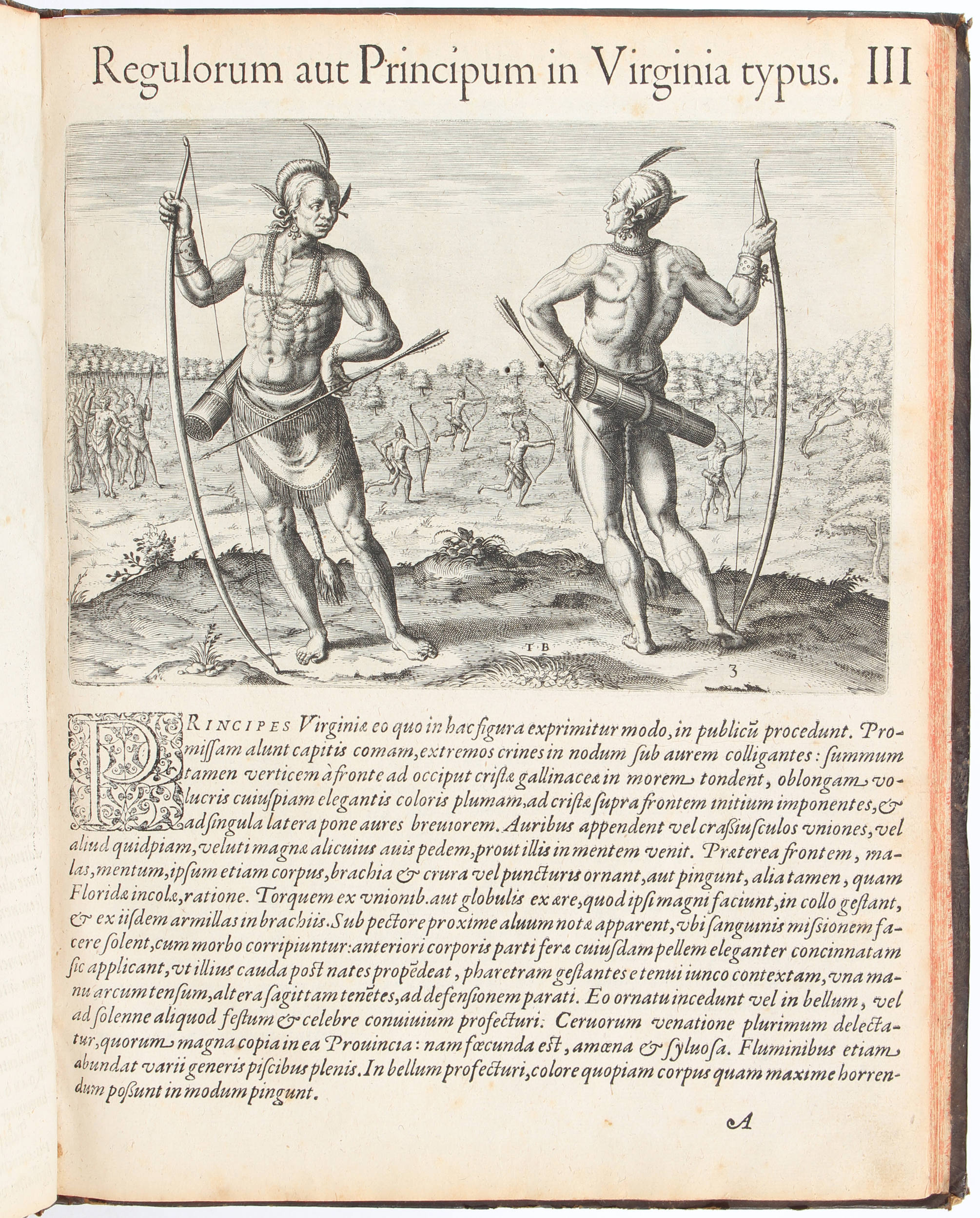
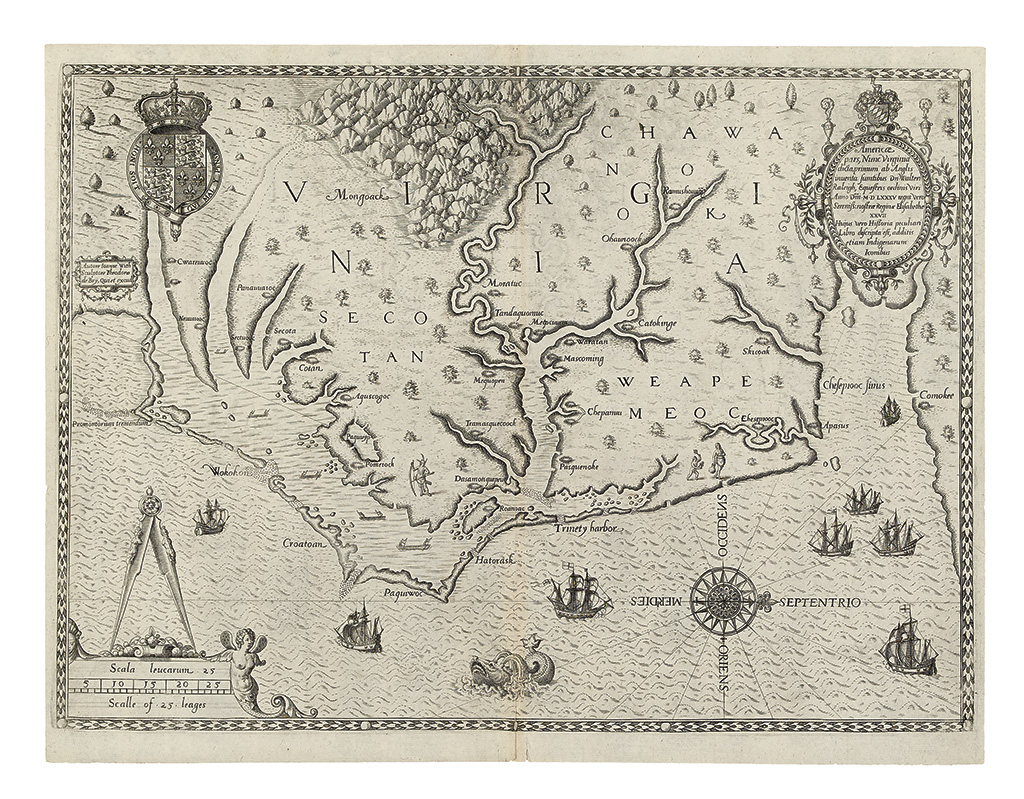
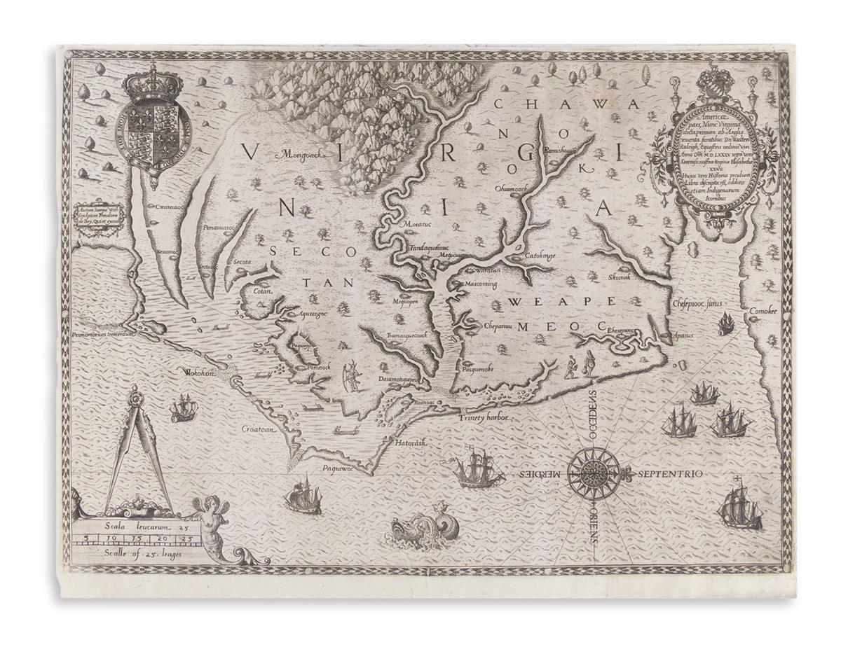
VIRGINIA]. WHITE, John. Americae pars, nunc Virginiae dicta prinum an Anglis inventa... [Frankfurt am Main, 1590 or later].
VIRGINIA]. WHITE, John. Americae pars, nunc Virginiae dicta prinum an Anglis inventa... [Frankfurt am Main, 1590 or later]. Engraved map by Theodor de Bry 302 x 415 mm (362 x 466 mm sheet). (Lower right portion in faint impression, printer's wrinkles at center fold.) Matted, framed and glazed. "ONE OF THE MOST SIGNIFICANT CARTOGRAPHICAL MILESTONES IN COLONIAL NORTH AMERICAN HISTORY... THE MOST ACCURATE MAP DRAWN IN THE SIXTEENTH CENTURY OF ANY PART OF THAT CONTINENT" (Burden) This map was included in part I of de Bry's Great Voyages to illustrate his edition of the text of Thomas Hariot's account of Virginia, following Raleigh's voyage in 1585. John White the author of the map, accompanied Raleigh's expedition and served as governor of the ill-fated settlement at Roanoke. His series of drawings of native inhabitants is now at the British Library. White was the grandfather of Virginia Dare, the first child born to English colonists in America. The map shows the Chesapeake Bay to Cape Lookout, the Chowan, Roanoke and Neuse Rivers and the Outer Banks of North Carolina. This is state 2, with the initial letter "C" superimposed on the letter "E" in the name "Chesepiooc." Burden 76; Church 140; Cumming Southeast p.3.


Testen Sie LotSearch und seine Premium-Features 7 Tage - ohne Kosten!
Lassen Sie sich automatisch über neue Objekte in kommenden Auktionen benachrichtigen.
Suchauftrag anlegen