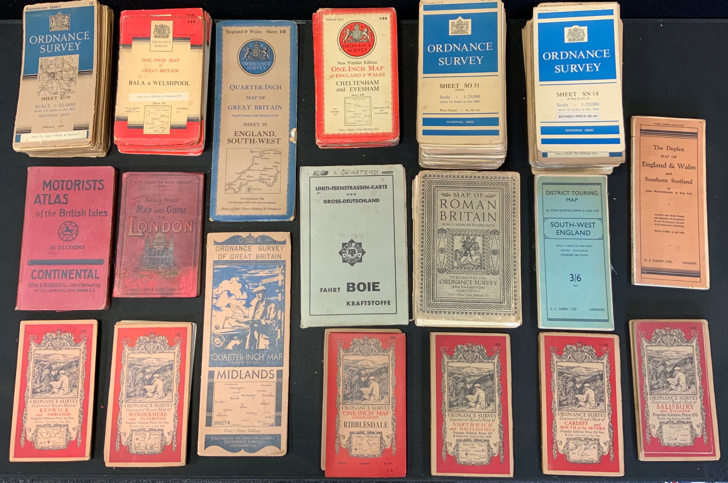
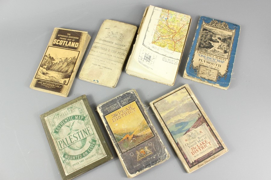
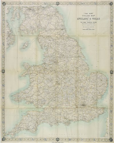
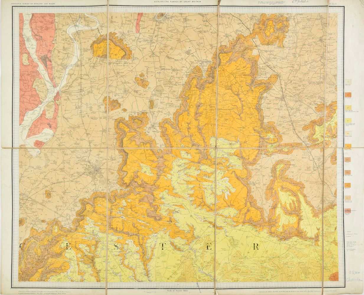
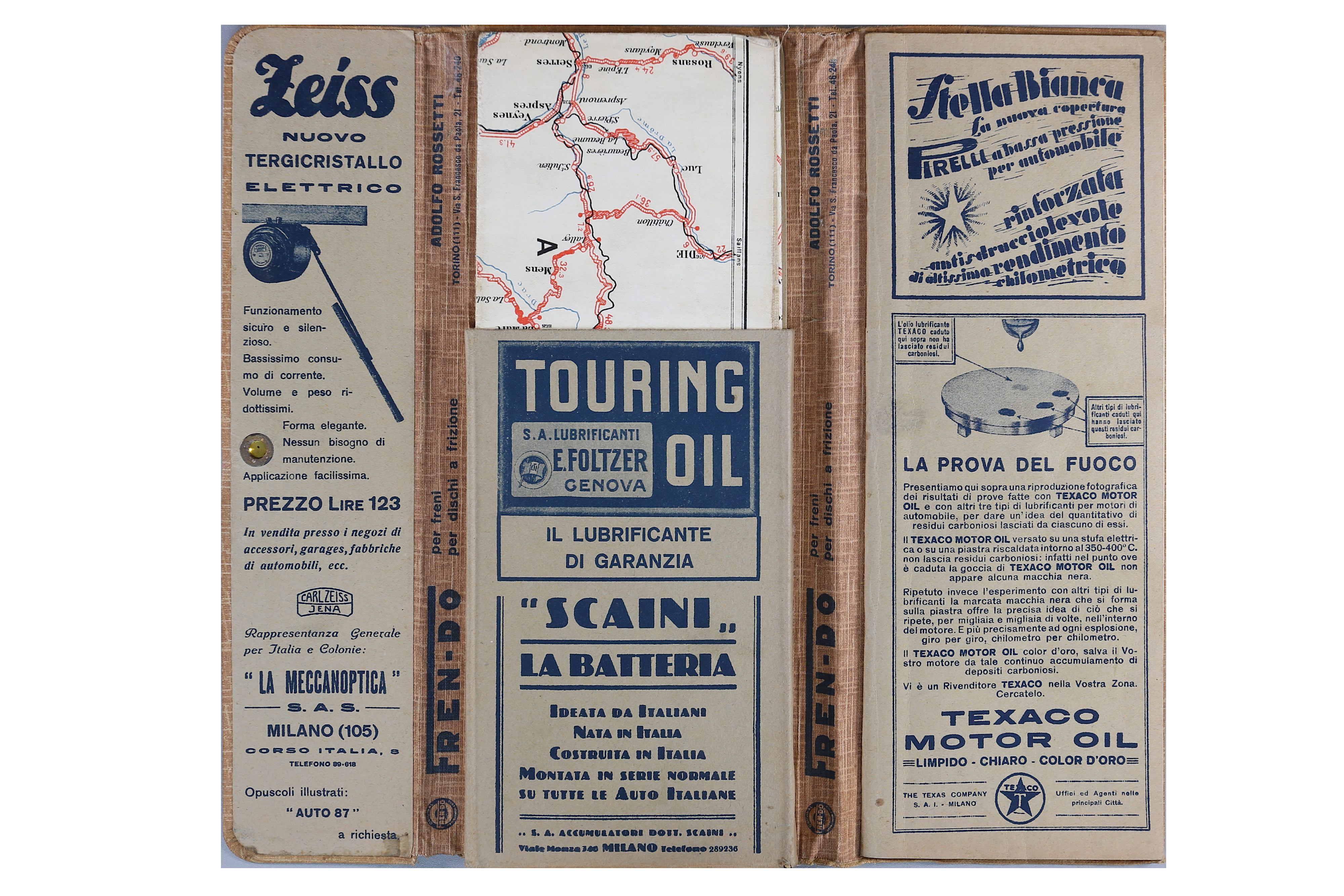
Touring & Ordnance Survey. A mixed collection of approximately sixty five maps, mostly 20th century, Ordnance Survey, cycling and touring maps, including examples by Bartholomew, Bacon, W. H. Smith Ordnance Survey and Gall & Inglis, together with twenty-three (complete) touring maps by Bartholomew contained in a leather carrying case, some wear, plus three large scale rolled maps including a map of Great Britain showing accessibility of towns determined by bus routes, a large scale Ordnance Survey map of Eastwood in Nottinghamshire (coloured) and a large scale Ordnance Survey map of Derbyshire, Nottinghamshire and Lincolnshire (waterstained and damaged), with Bartholomew (J. G.). The Royal Atlas of England and Wales, circa 1895, seventy colour lithographic maps, slight staining and spotting throughout, hinges and joints broken with text block detached, contemporary half morocco gilt, heavily worn and stained, folio, plus two copies of Stanford's Library map of London and its Suburbs , and 'Le Monde dans votre main', circa 1935, with a volume on the paintings in the collection of W. M. Mensing, various sizes and condition (Qty: approx. 70) Sold as a collection of maps, not subject to return
Touring & Ordnance Survey. A mixed collection of approximately sixty five maps, mostly 20th century, Ordnance Survey, cycling and touring maps, including examples by Bartholomew, Bacon, W. H. Smith Ordnance Survey and Gall & Inglis, together with twenty-three (complete) touring maps by Bartholomew contained in a leather carrying case, some wear, plus three large scale rolled maps including a map of Great Britain showing accessibility of towns determined by bus routes, a large scale Ordnance Survey map of Eastwood in Nottinghamshire (coloured) and a large scale Ordnance Survey map of Derbyshire, Nottinghamshire and Lincolnshire (waterstained and damaged), with Bartholomew (J. G.). The Royal Atlas of England and Wales, circa 1895, seventy colour lithographic maps, slight staining and spotting throughout, hinges and joints broken with text block detached, contemporary half morocco gilt, heavily worn and stained, folio, plus two copies of Stanford's Library map of London and its Suburbs , and 'Le Monde dans votre main', circa 1935, with a volume on the paintings in the collection of W. M. Mensing, various sizes and condition (Qty: approx. 70) Sold as a collection of maps, not subject to return






Try LotSearch and its premium features for 7 days - without any costs!
Be notified automatically about new items in upcoming auctions.
Create an alert