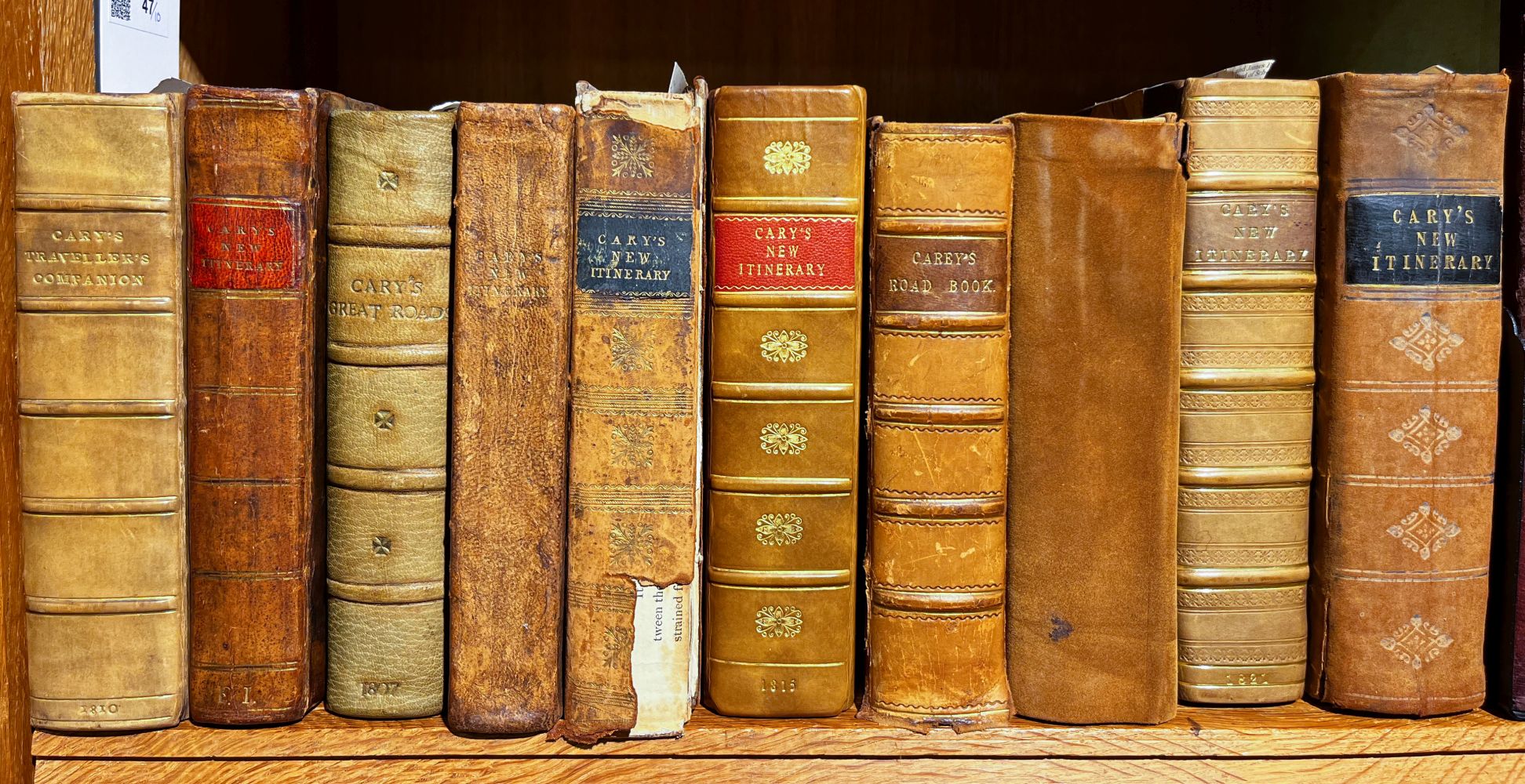
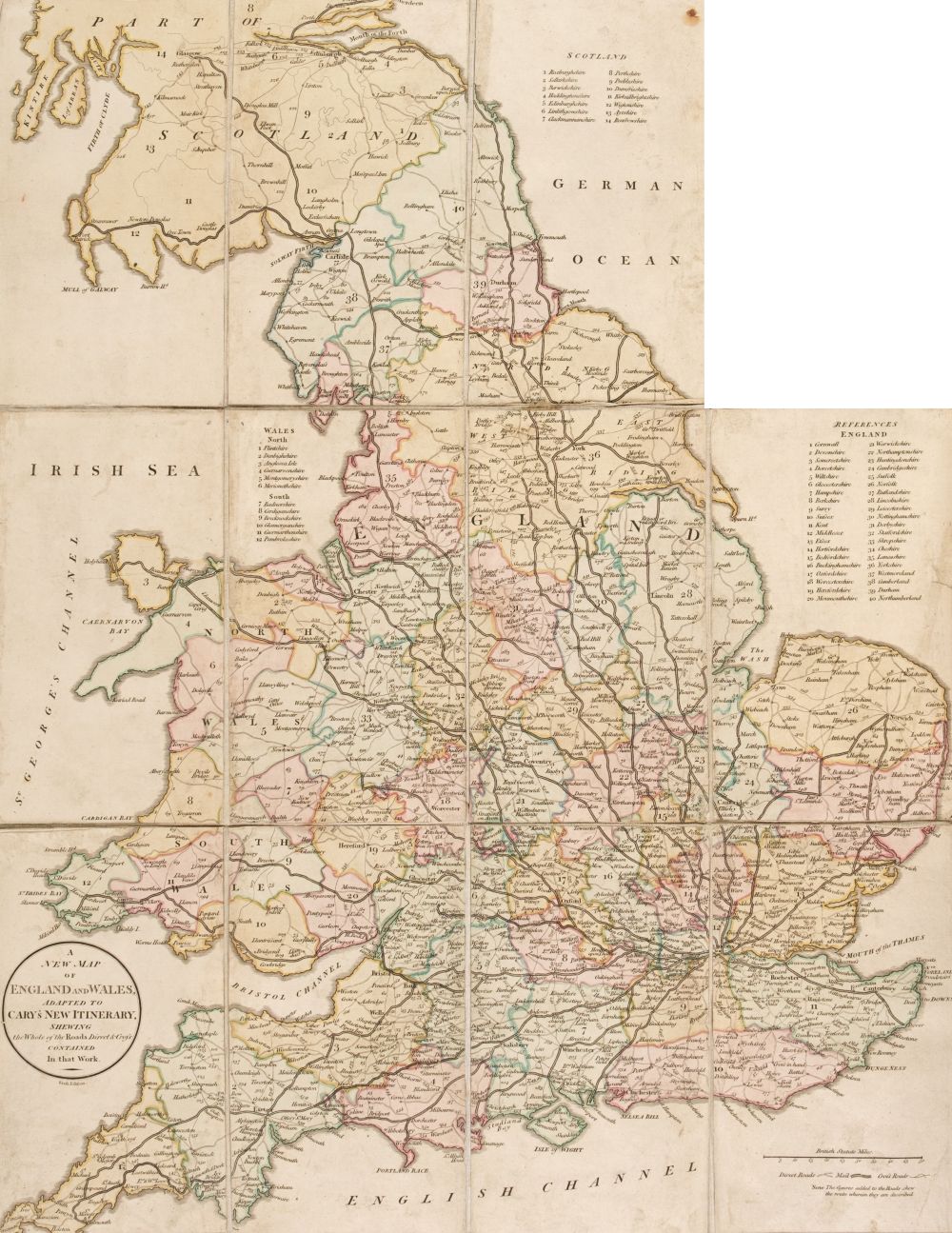
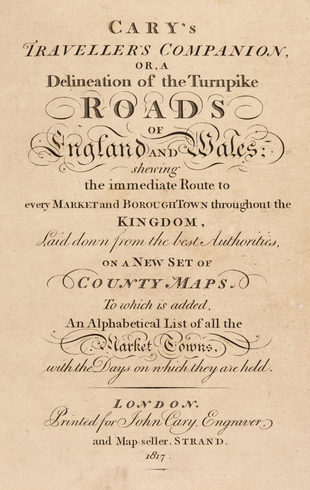
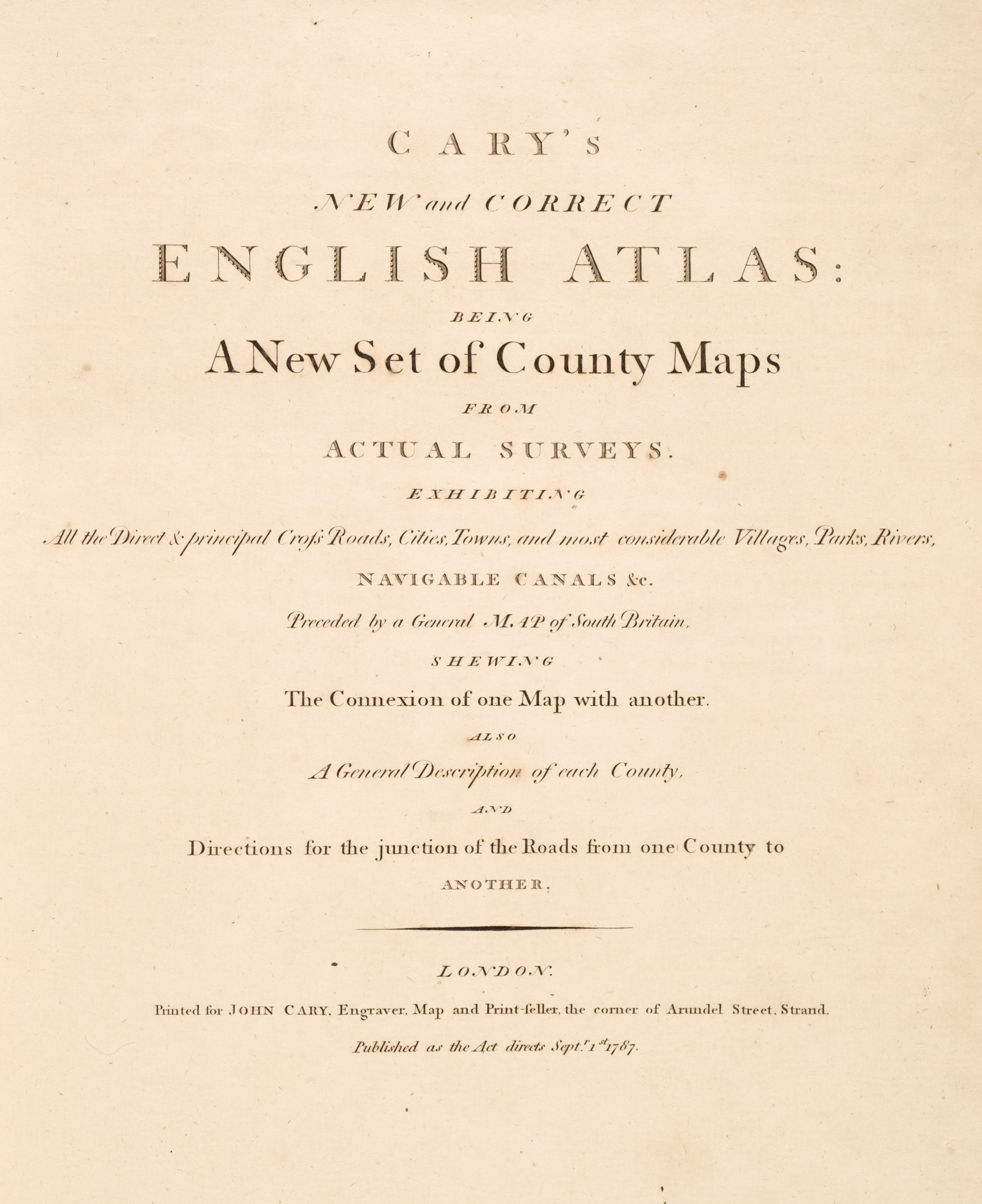
Cary's Traveller's Companion, or a Delineation of the Turnpike Roads of England and Wales..., 1791, calligraphic title, advertisement and contents list, forty-three (complete as list) engraved maps with contemporary outline colouring, printed back-to-back, text block detached, contemporary calf, crudely repaired with sellotape, rubbed and worn, 8vo, together with Bowen (Emanuel), A Corrected Map of the County of Stafford divided into Hundreds..., published H. Overton, J. Bowles, H. Parker, Carington Bowles J. Ryall & R. Sayer and T. Kitchin, circa 1750, engraved map with contemporary outline colouring, sectionalised and laid on linen, 525 x 410 mm, contained in a contemporary marbled card slipcase with printed label to upper board, with another twenty-two folding county, touring and regional maps including examples by Cruchley, Hall, Bacon, J & C Walker, Philips, Bartholomew and Ordnance Survey, plus two Ordnance Survey maps of parts of Warwickshire and Staffordshire (dated 1834 & 1862 respectively), each sectionalised and laid on linen and each contained in contemporary green morocco slipcases with envelope style lids, each approximately 630 x 715 mm, plus seven guide and road books, including examples by Cary, Fraser and Blacks, various sizes and conditon Sold as a collection of maps and plates, not subject to return. (approx.35)
Cary's Traveller's Companion, or a Delineation of the Turnpike Roads of England and Wales..., 1791, calligraphic title, advertisement and contents list, forty-three (complete as list) engraved maps with contemporary outline colouring, printed back-to-back, text block detached, contemporary calf, crudely repaired with sellotape, rubbed and worn, 8vo, together with Bowen (Emanuel), A Corrected Map of the County of Stafford divided into Hundreds..., published H. Overton, J. Bowles, H. Parker, Carington Bowles J. Ryall & R. Sayer and T. Kitchin, circa 1750, engraved map with contemporary outline colouring, sectionalised and laid on linen, 525 x 410 mm, contained in a contemporary marbled card slipcase with printed label to upper board, with another twenty-two folding county, touring and regional maps including examples by Cruchley, Hall, Bacon, J & C Walker, Philips, Bartholomew and Ordnance Survey, plus two Ordnance Survey maps of parts of Warwickshire and Staffordshire (dated 1834 & 1862 respectively), each sectionalised and laid on linen and each contained in contemporary green morocco slipcases with envelope style lids, each approximately 630 x 715 mm, plus seven guide and road books, including examples by Cary, Fraser and Blacks, various sizes and conditon Sold as a collection of maps and plates, not subject to return. (approx.35)





Try LotSearch and its premium features for 7 days - without any costs!
Be notified automatically about new items in upcoming auctions.
Create an alert