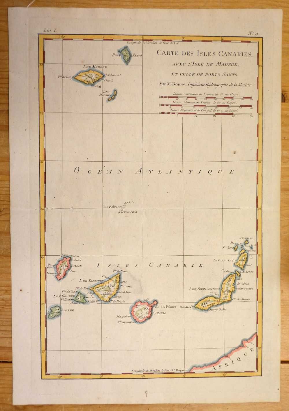
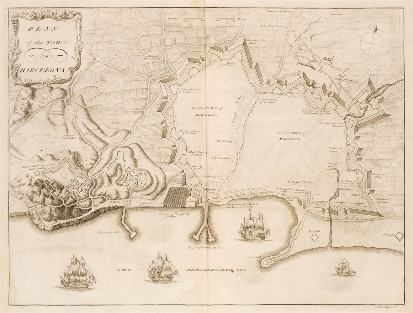
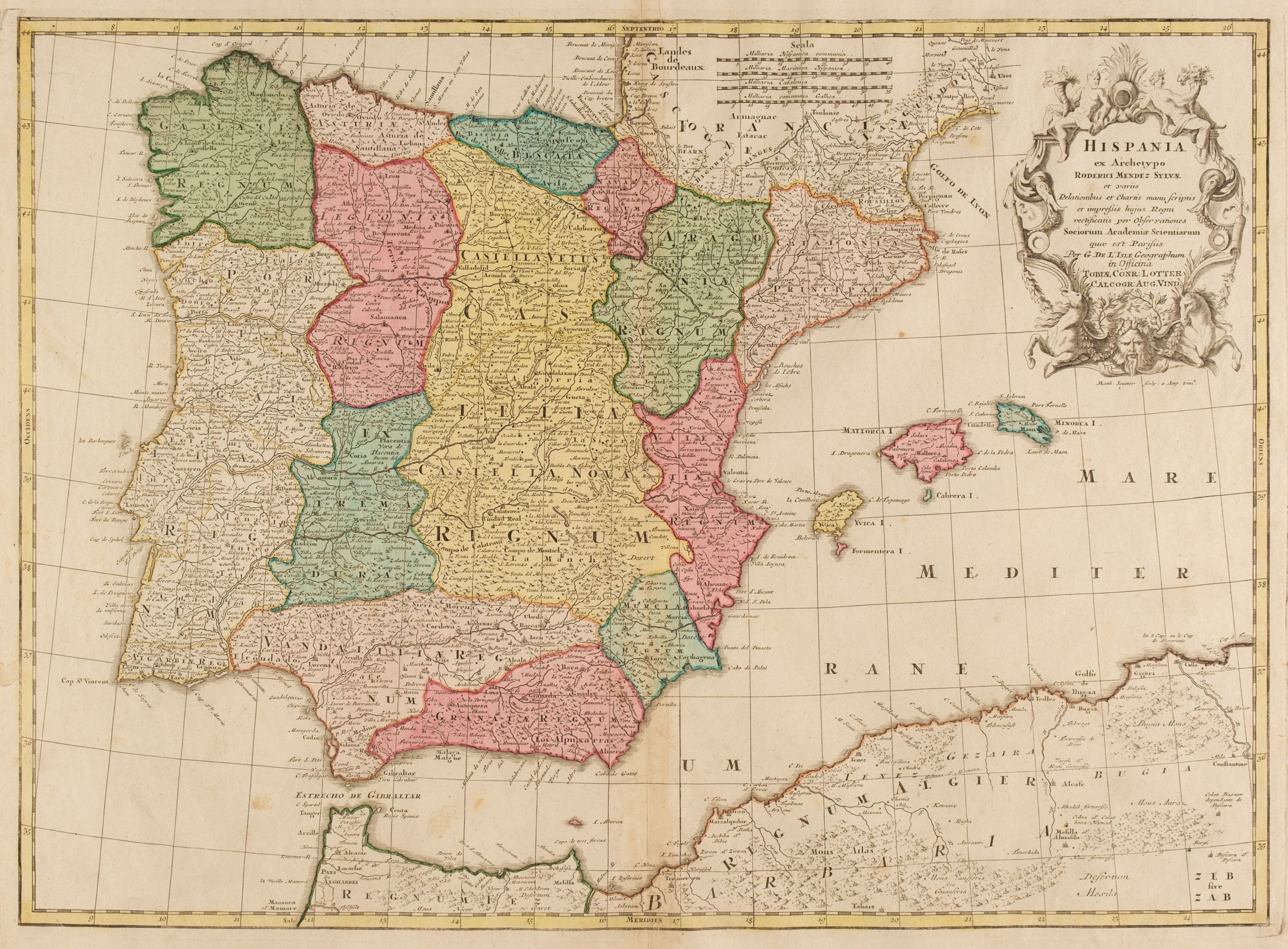
Spain & Portugal. Moll (Herman), A New and Exact Map of Spain & Portugal Divided into its Kingdoms and Principalities &c..., printed by T. Bowles and P. Overton, 1711, engraved map on two conjoined sheets with contemporary outline colouring, large uncoloured cartouche, old folds, one wormhole, 625 x 990 mm, together with Blaeu (Willem Janszoon). Regnorum Hispaniae Nova Descriptio, Amsterdam: circa 1630, engraved map with contemporary outline colouring, ornate cartouche and mileage scale, very slight dust soiling, 380 x 495 mm, Latin text on verso (Quantity: 2)
Spain & Portugal. Moll (Herman), A New and Exact Map of Spain & Portugal Divided into its Kingdoms and Principalities &c..., printed by T. Bowles and P. Overton, 1711, engraved map on two conjoined sheets with contemporary outline colouring, large uncoloured cartouche, old folds, one wormhole, 625 x 990 mm, together with Blaeu (Willem Janszoon). Regnorum Hispaniae Nova Descriptio, Amsterdam: circa 1630, engraved map with contemporary outline colouring, ornate cartouche and mileage scale, very slight dust soiling, 380 x 495 mm, Latin text on verso (Quantity: 2)


Try LotSearch and its premium features for 7 days - without any costs!
Be notified automatically about new items in upcoming auctions.
Create an alert