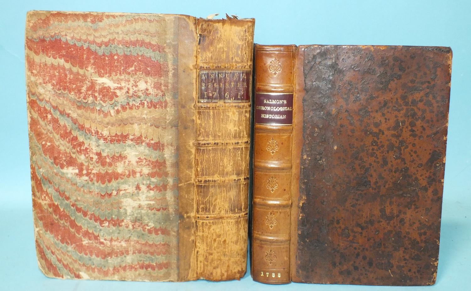
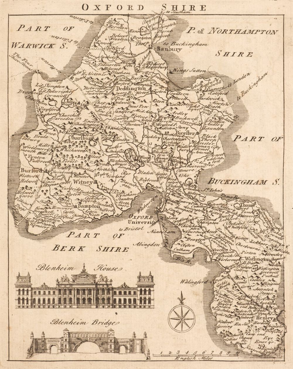
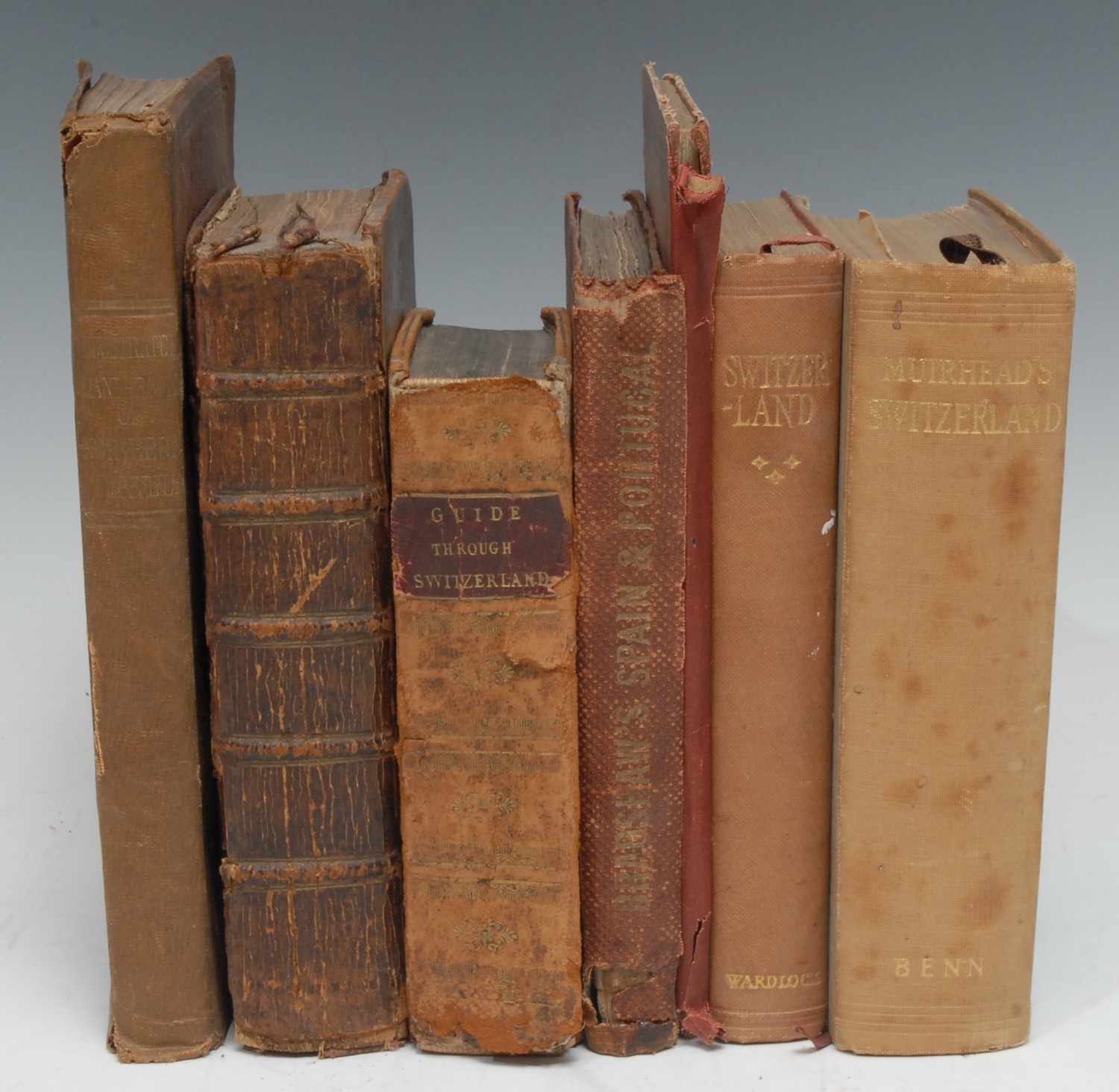
Salmon (Thomas). A New Geographical and Historical Grammar; Wherein the Geographical Part is truly Modern and the Present State of the several Kingdoms of the World..., William Johnson, 1754, additional half-title, dedication to George II, title printed in red and black, preface and 20 (only, lacking the map of the world and the Sphere) engraved folding maps by Thomas Jeffreys, two maps (Europe & Spain & Portugal) with naive later colouring, map of North America torn with slight loss to the upper right corner, skillfully repaired, hinges and joints cracked, upper board near detached, contemporary calf, rubbed and worn, 8vo, together with Heywood (John). John Heywood's County Atlas of England and Wales..., circa 1880, printed title, folding map of England and Wales and 42 uncoloured lithographic county maps, printed back-to-back, modern boards with old publisher's printed title and advertisement pasted to the front and rear boards, slim 8vo, with Law (James Thos. & Francis William F.). A New Set of Diocesan Maps. published by Lichfield Theological College, 1864, printed title and 27 double-page lithographic maps by W. J. Sackwell, each with explanatory text, slight offsetting and toning, later endpapers, publisher's boards with printed title to the upper siding, re-backed, folio, plus, George Philip & Son Ltd (publishers). Philips' Atlas of the British Isles..., circa 1920, 61 double-page colour lithographic maps, endpapers a little toned, publisher's cloth, faded and worn at extremities, folio, and, Philips' Introductory School Atlas, Philips' Elementary Atlas of Comparative Geography, Philips' Standard School Atlas [and] Philips' Progressive Atlas of Comparative Geography, all early 20th century, together four atlases containing numerous colour printed maps, mixed bindings, 4to, together with The Literary Press Ltd. (publishers). The Wonder Atlas, circa 1950, 24 colour printed maps, publisher's limp card pictorial boards, 4to, with a 'Barclays Dictionary' and a 'Guthrie's Geographical Historical and Commercial Grammar', but excised of all maps, plus, Dugdale (Thomas). Curiosities of England & Wales Delineated, 3 volumes, circa 1850, 9 (only double-page engraved maps and numerous engraved topographical views, manuscript presentation inscription to the front pastedown, contemporary calf gilt, worn and rubbed, 8vo (Quantity: 14) Sold as a collection of maps, not subject to return.
Salmon (Thomas). A New Geographical and Historical Grammar; Wherein the Geographical Part is truly Modern and the Present State of the several Kingdoms of the World..., William Johnson, 1754, additional half-title, dedication to George II, title printed in red and black, preface and 20 (only, lacking the map of the world and the Sphere) engraved folding maps by Thomas Jeffreys, two maps (Europe & Spain & Portugal) with naive later colouring, map of North America torn with slight loss to the upper right corner, skillfully repaired, hinges and joints cracked, upper board near detached, contemporary calf, rubbed and worn, 8vo, together with Heywood (John). John Heywood's County Atlas of England and Wales..., circa 1880, printed title, folding map of England and Wales and 42 uncoloured lithographic county maps, printed back-to-back, modern boards with old publisher's printed title and advertisement pasted to the front and rear boards, slim 8vo, with Law (James Thos. & Francis William F.). A New Set of Diocesan Maps. published by Lichfield Theological College, 1864, printed title and 27 double-page lithographic maps by W. J. Sackwell, each with explanatory text, slight offsetting and toning, later endpapers, publisher's boards with printed title to the upper siding, re-backed, folio, plus, George Philip & Son Ltd (publishers). Philips' Atlas of the British Isles..., circa 1920, 61 double-page colour lithographic maps, endpapers a little toned, publisher's cloth, faded and worn at extremities, folio, and, Philips' Introductory School Atlas, Philips' Elementary Atlas of Comparative Geography, Philips' Standard School Atlas [and] Philips' Progressive Atlas of Comparative Geography, all early 20th century, together four atlases containing numerous colour printed maps, mixed bindings, 4to, together with The Literary Press Ltd. (publishers). The Wonder Atlas, circa 1950, 24 colour printed maps, publisher's limp card pictorial boards, 4to, with a 'Barclays Dictionary' and a 'Guthrie's Geographical Historical and Commercial Grammar', but excised of all maps, plus, Dugdale (Thomas). Curiosities of England & Wales Delineated, 3 volumes, circa 1850, 9 (only double-page engraved maps and numerous engraved topographical views, manuscript presentation inscription to the front pastedown, contemporary calf gilt, worn and rubbed, 8vo (Quantity: 14) Sold as a collection of maps, not subject to return.


Try LotSearch and its premium features for 7 days - without any costs!
Be notified automatically about new items in upcoming auctions.
Create an alert