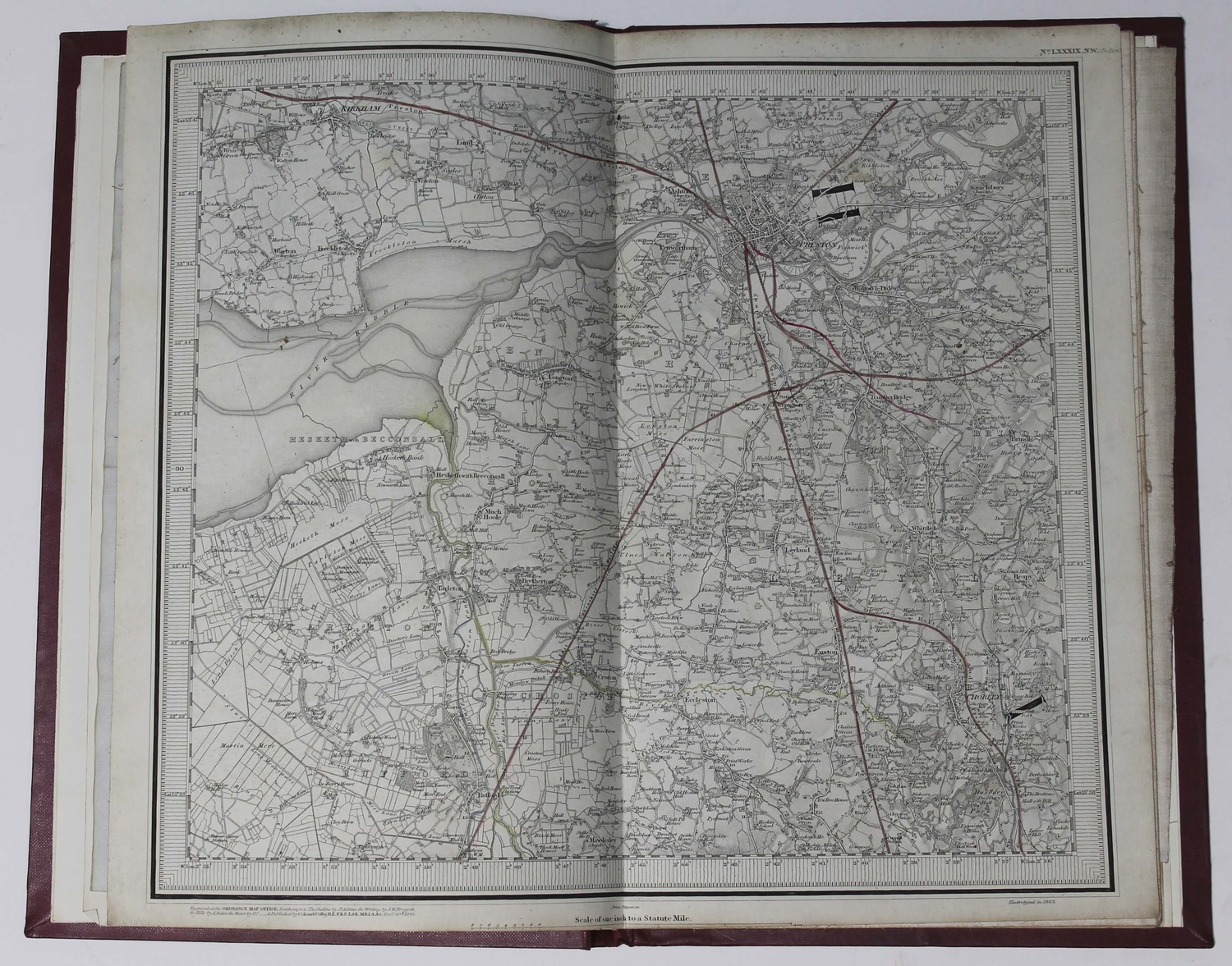
Royal Commission on Canals and Waterways. Eight folding maps of canals and waterways, maps comprise 'Map of the Canal Systems and Navigable Rivers of Scotland', 'Map of the Canals and Navigable Rivers of Ireland', 'Map of the Canals & Navigable Rivers in the Catchment Basis of England and Wales', 'Map of the Inland Navigation and Waterways of Belgium', 'General Map of the Navigable Waterways of France', 'Map of the Inland Navigation and Waterways of Germany', 'The Industrial development along the Finow Canal', 'The Industrial Development along the Canalized Main from Frankfurt to Mainz', 8 folding lithographic maps on 8 sheets, approximate dimensions ranging from 450 x 650 mm. to 950 x 600 mm., all dissected onto linen and bound into 5 maroon cloth folders, manuscript paper labels to front boards, worn, [1902-11] (5). ⁂ With correspondence from original owner and Photographers Admiralty, dated 1942.
Royal Commission on Canals and Waterways. Eight folding maps of canals and waterways, maps comprise 'Map of the Canal Systems and Navigable Rivers of Scotland', 'Map of the Canals and Navigable Rivers of Ireland', 'Map of the Canals & Navigable Rivers in the Catchment Basis of England and Wales', 'Map of the Inland Navigation and Waterways of Belgium', 'General Map of the Navigable Waterways of France', 'Map of the Inland Navigation and Waterways of Germany', 'The Industrial development along the Finow Canal', 'The Industrial Development along the Canalized Main from Frankfurt to Mainz', 8 folding lithographic maps on 8 sheets, approximate dimensions ranging from 450 x 650 mm. to 950 x 600 mm., all dissected onto linen and bound into 5 maroon cloth folders, manuscript paper labels to front boards, worn, [1902-11] (5). ⁂ With correspondence from original owner and Photographers Admiralty, dated 1942.


Testen Sie LotSearch und seine Premium-Features 7 Tage - ohne Kosten!
Lassen Sie sich automatisch über neue Objekte in kommenden Auktionen benachrichtigen.
Suchauftrag anlegen