A Series of Charts, with Sailing Directions, Embracing Surveys of the … State of California .
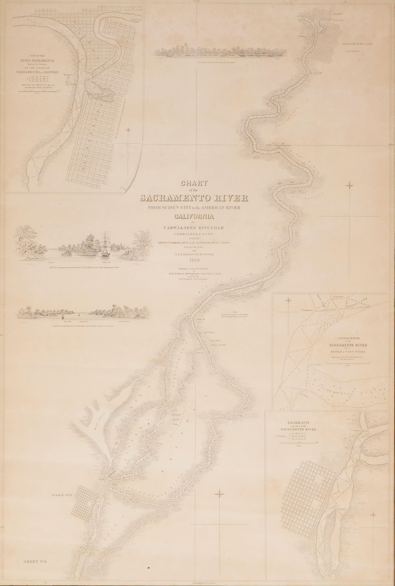
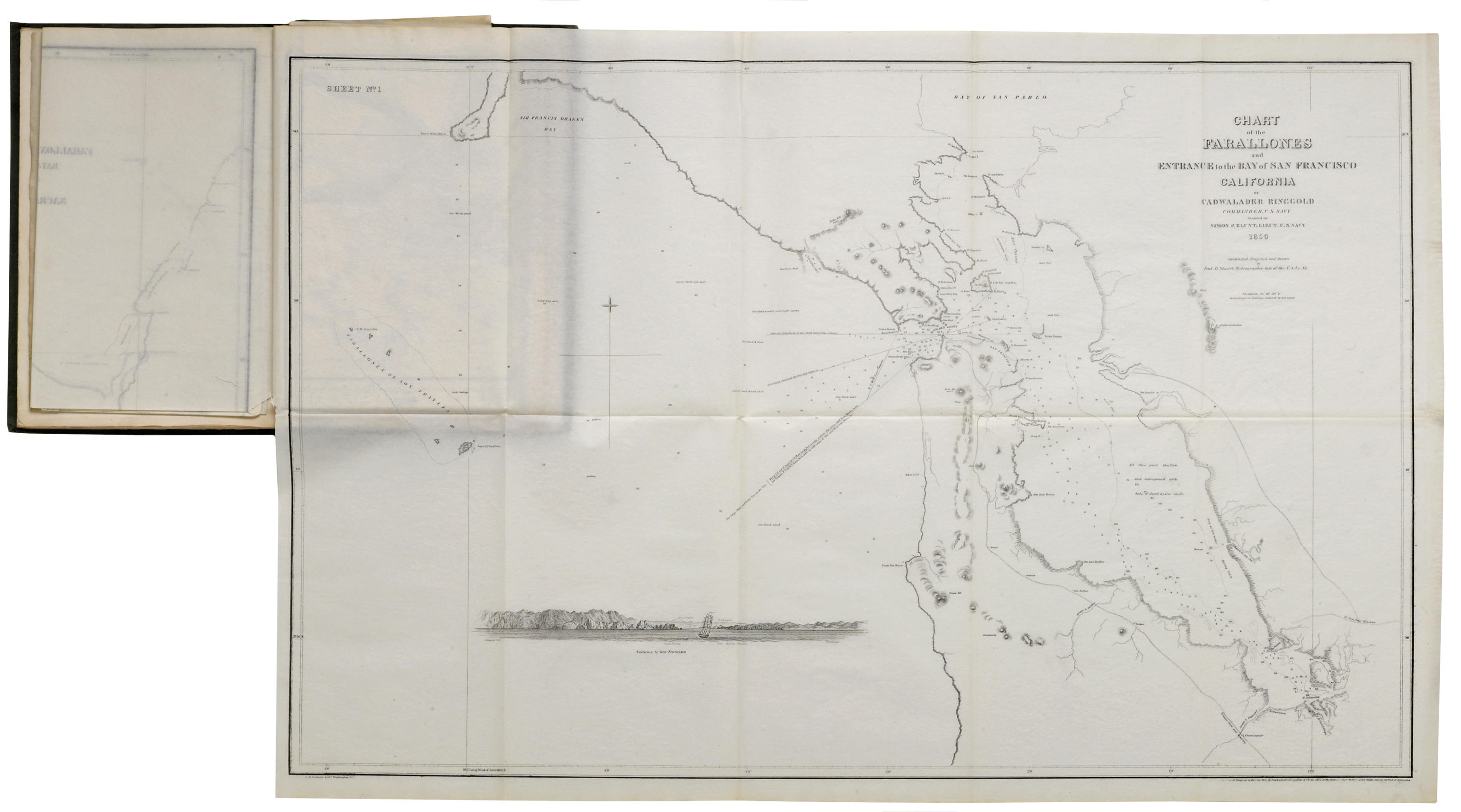
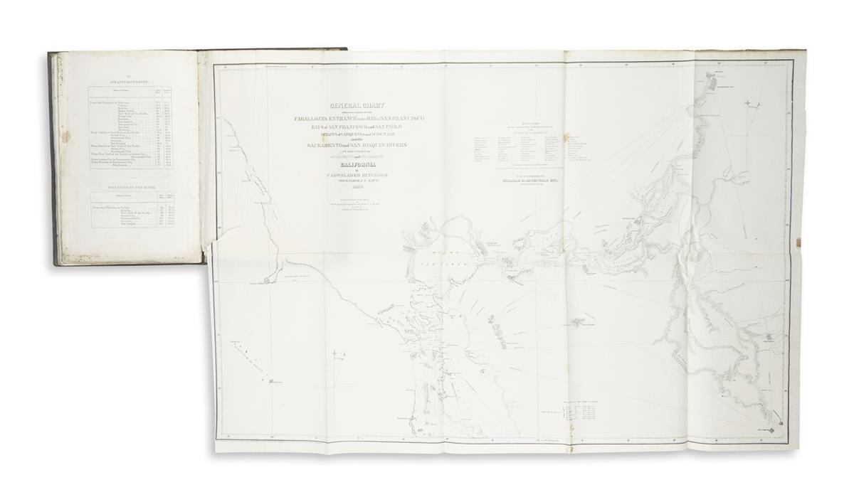
Washington: Jno. T. Towers, 1852. Quarto (11x7 inches; 280x180 mm). Eight tinted lithographed plates of panoramic views, 6 folding lithographed maps. Publisher's green cloth pictorial gilt. Condition: Minor foxing, repaired tears to the charts; some fading and staining to the covers and backstrip, rear hinge cracked. Provenance : contemporary owner's French inscription on the front free endpaper, the signature illegible. the best gold rush era surveys of san francisco bay and the sacramento river. Ringgold first traveled to Califonia as a naval officer on Wilkes exploring expedition to the Pacific. With the discovery of gold at Sutter's Mill, he was commissioned to return to the region to conduct these surveys. His work includes accurate charts of the Farralones entrance, the bays of San Francisco and San Pablo and a chart of the Sacramento River, among others. The plates, after W. H. Dougal, are also noteworthy, and include a lovely frontispiece view of San Francisco from Yerba Buena Island. “The charts, which include much of the shore and give many place names, together with the views give a picture of how the country from the Golden Gate to Sacramento appeared in 1850, which is of great interest” ( Streeter ). First issued in 1851, this copy stated on the title as the fifth edition, with additions. Cowan, p 533; Howes R303; Kurutz, California Gold Rush 536; Sabin 71425; Streeter Sale 2679 (1851 edition).


Testen Sie LotSearch und seine Premium-Features 7 Tage - ohne Kosten!
Lassen Sie sich automatisch über neue Objekte in kommenden Auktionen benachrichtigen.
Suchauftrag anlegen