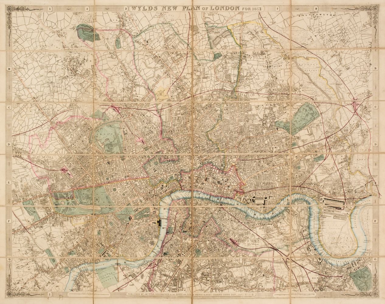
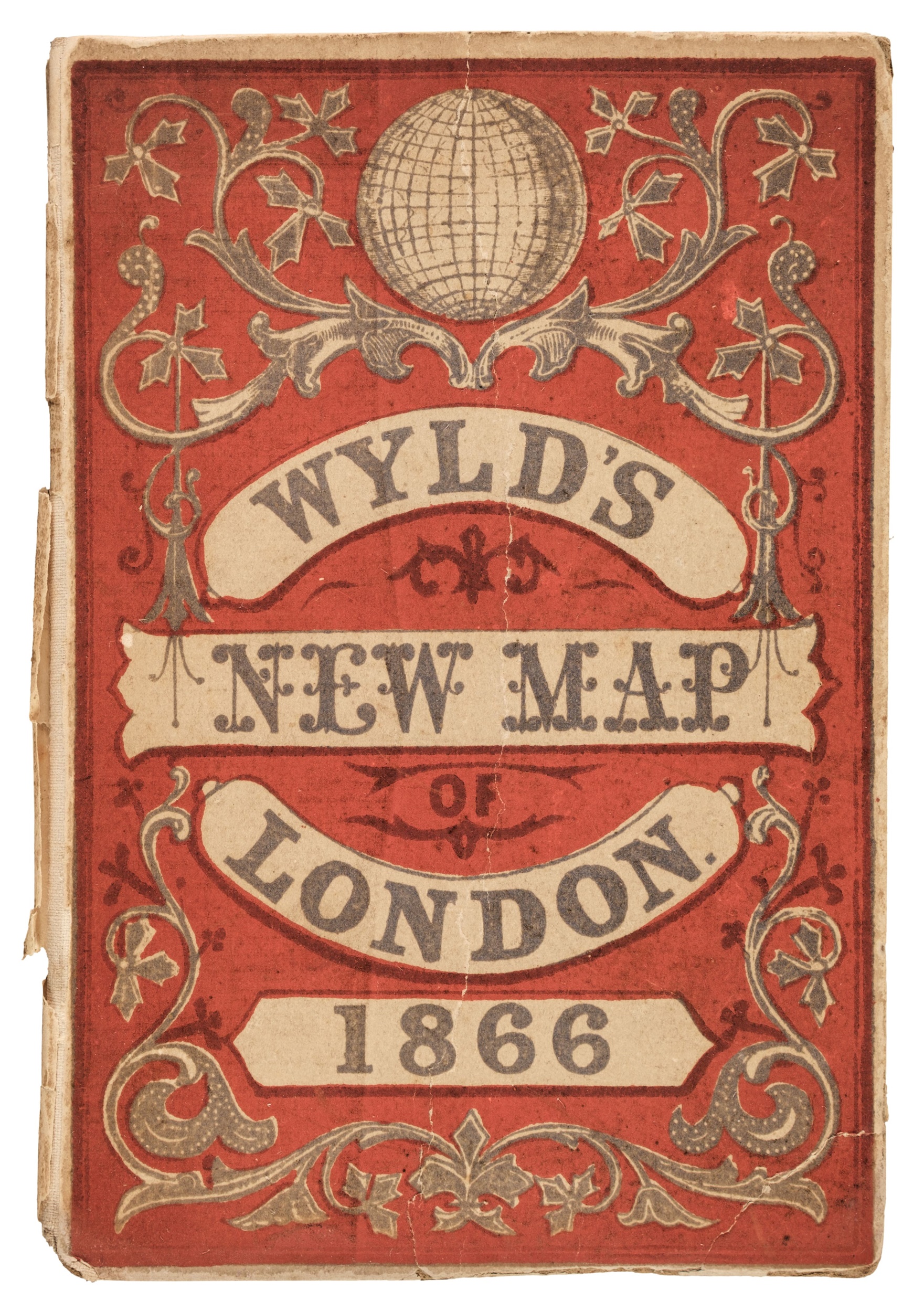
London.- Wyld (James) Wyld's New Plan of London, showing from Dalston to Kennington, and Holland Park to the East India docks, with postal district divisions delineated in red ink with decorative border featuring vignette views of London, lithograph printed in red and black, sheet 560 x 950 mm. (22 x 37 in), folding in sections, with splitting to folds, map folding into blind stamped purple cloth boards, the map detached, spine spitting, worn, 8vo, 1857.
London.- Wyld (James) Wyld's New Plan of London, showing from Dalston to Kennington, and Holland Park to the East India docks, with postal district divisions delineated in red ink with decorative border featuring vignette views of London, lithograph printed in red and black, sheet 560 x 950 mm. (22 x 37 in), folding in sections, with splitting to folds, map folding into blind stamped purple cloth boards, the map detached, spine spitting, worn, 8vo, 1857.




Testen Sie LotSearch und seine Premium-Features 7 Tage - ohne Kosten!
Lassen Sie sich automatisch über neue Objekte in kommenden Auktionen benachrichtigen.
Suchauftrag anlegen