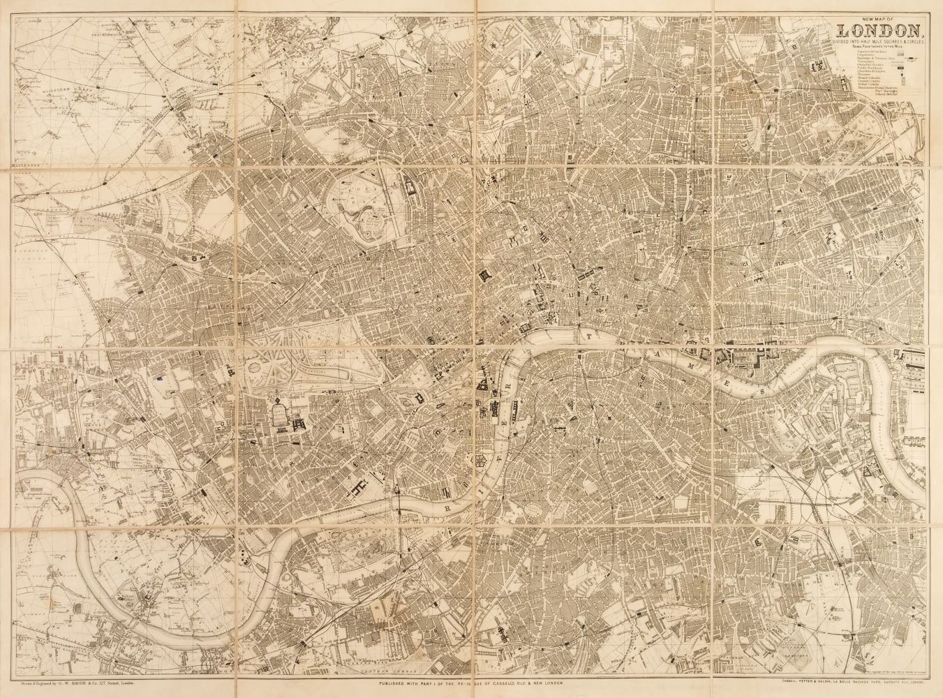
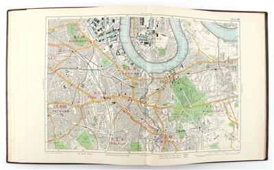
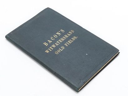
London. Bacon (G. W.), Bacon's New Map of London..., circa 1875, folding colour lithographic map, 630 x 805 mm, advertisements to front pastedown and endpaper, publisher's cloth boards with green printed label to the upper cover, together with Bacon's Large-Print Map of London and Suburbs, circa 1925, folding colour lithographic map laid on linen, 700 x 875 mm, marbled endpaper, advertisement to front pastedown, publisher's red cloth boards with additional gilt title to the upper siding, spine faded, with another copy similar, plus Bartholomew (John & Son Ltd). Bartholomew's Street Index Plan of London, 4 sheets, South East Section, South West Section, North West Section and North East Section, Edinburgh, 1952, set of four colour printed photolithographic folding maps, each laid on linen, additional titles to endpapers in Japanese, each approximately 870 x 1070 mm, publisher's printed paper titles to the upper siding of each map, Smith (C. & Son, publishers). The Indicator Map of London, circa 1930, colour folding photolithographic map, laid on linen, retaining the 'measuring distance tape' attached to the left-hand margin of the map, 610 x 890 mm, publisher's blue gilt cloth boards, some wear to extremities, with another five folding maps similar of London and its environs, including examples by or after 'Geographia' and Bacon, various sizes and condition (Quantity: 12)
London. Bacon (G. W.), Bacon's New Map of London..., circa 1875, folding colour lithographic map, 630 x 805 mm, advertisements to front pastedown and endpaper, publisher's cloth boards with green printed label to the upper cover, together with Bacon's Large-Print Map of London and Suburbs, circa 1925, folding colour lithographic map laid on linen, 700 x 875 mm, marbled endpaper, advertisement to front pastedown, publisher's red cloth boards with additional gilt title to the upper siding, spine faded, with another copy similar, plus Bartholomew (John & Son Ltd). Bartholomew's Street Index Plan of London, 4 sheets, South East Section, South West Section, North West Section and North East Section, Edinburgh, 1952, set of four colour printed photolithographic folding maps, each laid on linen, additional titles to endpapers in Japanese, each approximately 870 x 1070 mm, publisher's printed paper titles to the upper siding of each map, Smith (C. & Son, publishers). The Indicator Map of London, circa 1930, colour folding photolithographic map, laid on linen, retaining the 'measuring distance tape' attached to the left-hand margin of the map, 610 x 890 mm, publisher's blue gilt cloth boards, some wear to extremities, with another five folding maps similar of London and its environs, including examples by or after 'Geographia' and Bacon, various sizes and condition (Quantity: 12)


.jpg)

Try LotSearch and its premium features for 7 days - without any costs!
Be notified automatically about new items in upcoming auctions.
Create an alert