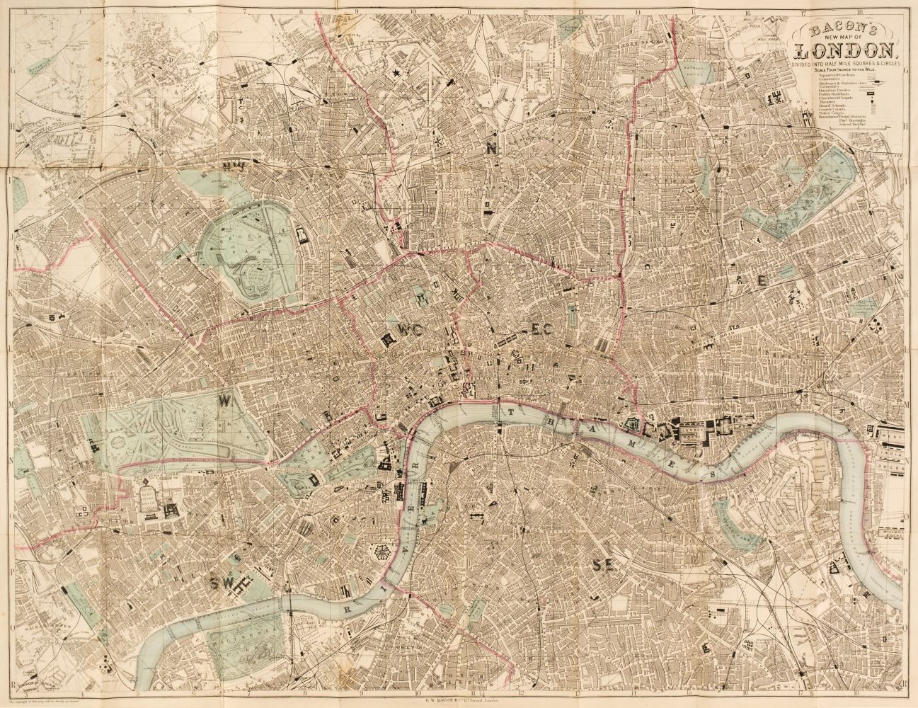
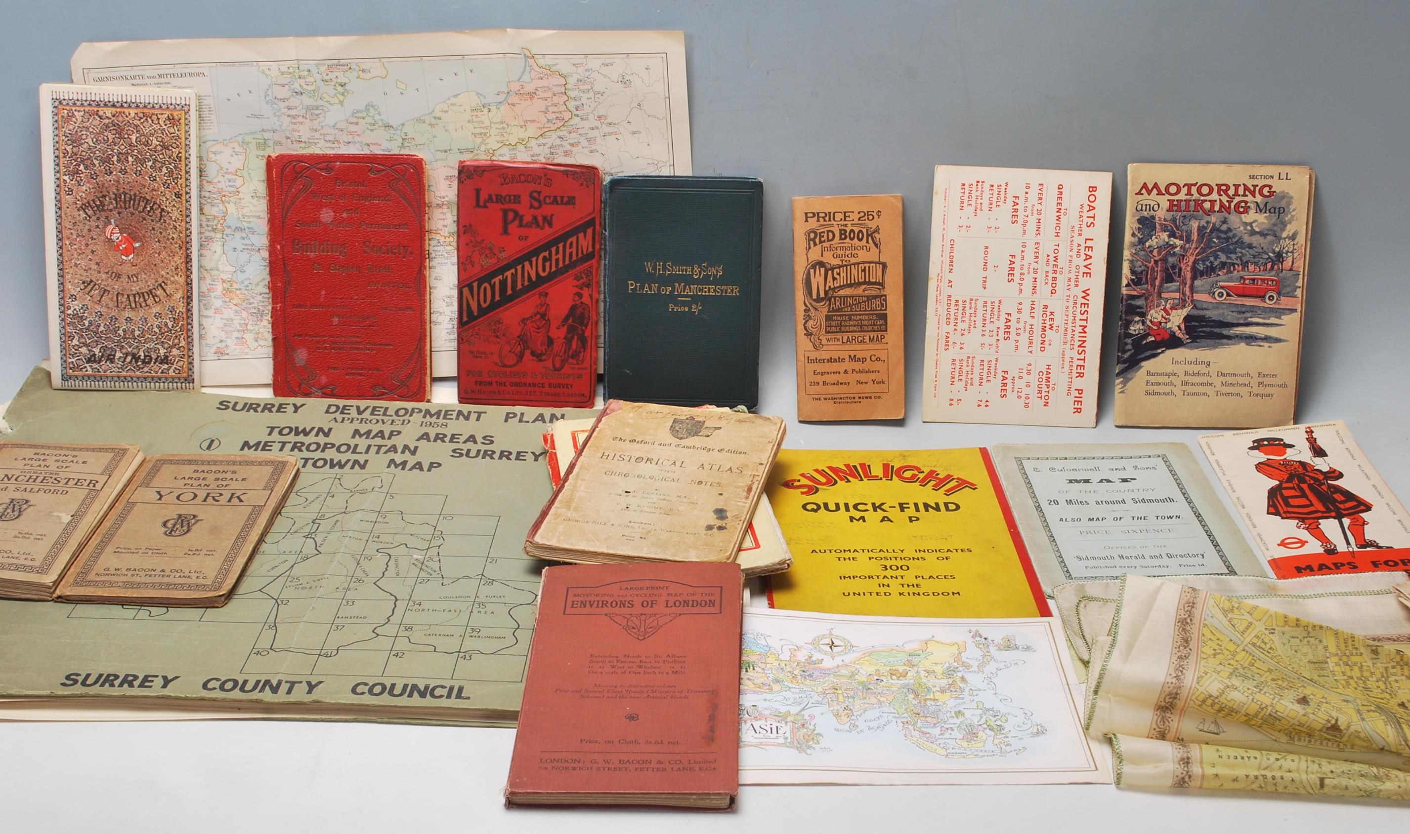
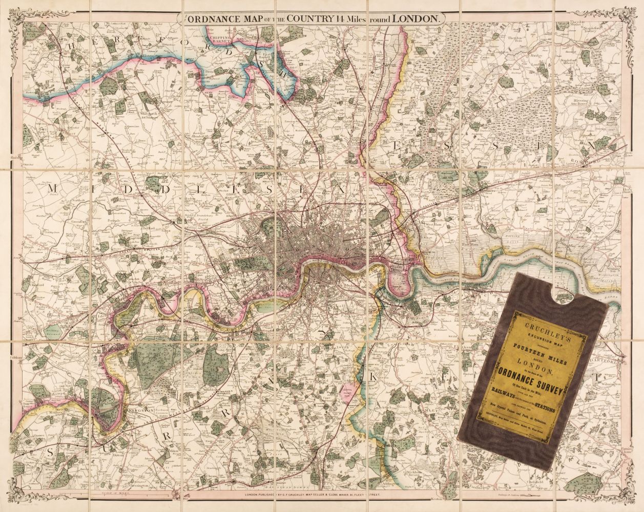
including Bacon's Map of London with the Railways in Operation and Constructing, 1868; Rugg's Handy Reference Map of London, 1890; W.H. Smith & Sons Environs of London, c.1882; other early 20th century maps including Bacon's London south and central sheets, and north London suburbs, Smith's large scale City of London, Bacon's large scale East & West Ham, and Harrow, and Geographia's large scale London and Suburbs, engraved and lithographed maps, some in printed or hand-colouring, v.s., occasional splits on folds, Rugg's map dampstained, Bacon's 1868 map with brown paper tape repairs, all folding into original limp or cloth boards, 8vo, (10)
including Bacon's Map of London with the Railways in Operation and Constructing, 1868; Rugg's Handy Reference Map of London, 1890; W.H. Smith & Sons Environs of London, c.1882; other early 20th century maps including Bacon's London south and central sheets, and north London suburbs, Smith's large scale City of London, Bacon's large scale East & West Ham, and Harrow, and Geographia's large scale London and Suburbs, engraved and lithographed maps, some in printed or hand-colouring, v.s., occasional splits on folds, Rugg's map dampstained, Bacon's 1868 map with brown paper tape repairs, all folding into original limp or cloth boards, 8vo, (10)


Try LotSearch and its premium features for 7 days - without any costs!
Be notified automatically about new items in upcoming auctions.
Create an alert