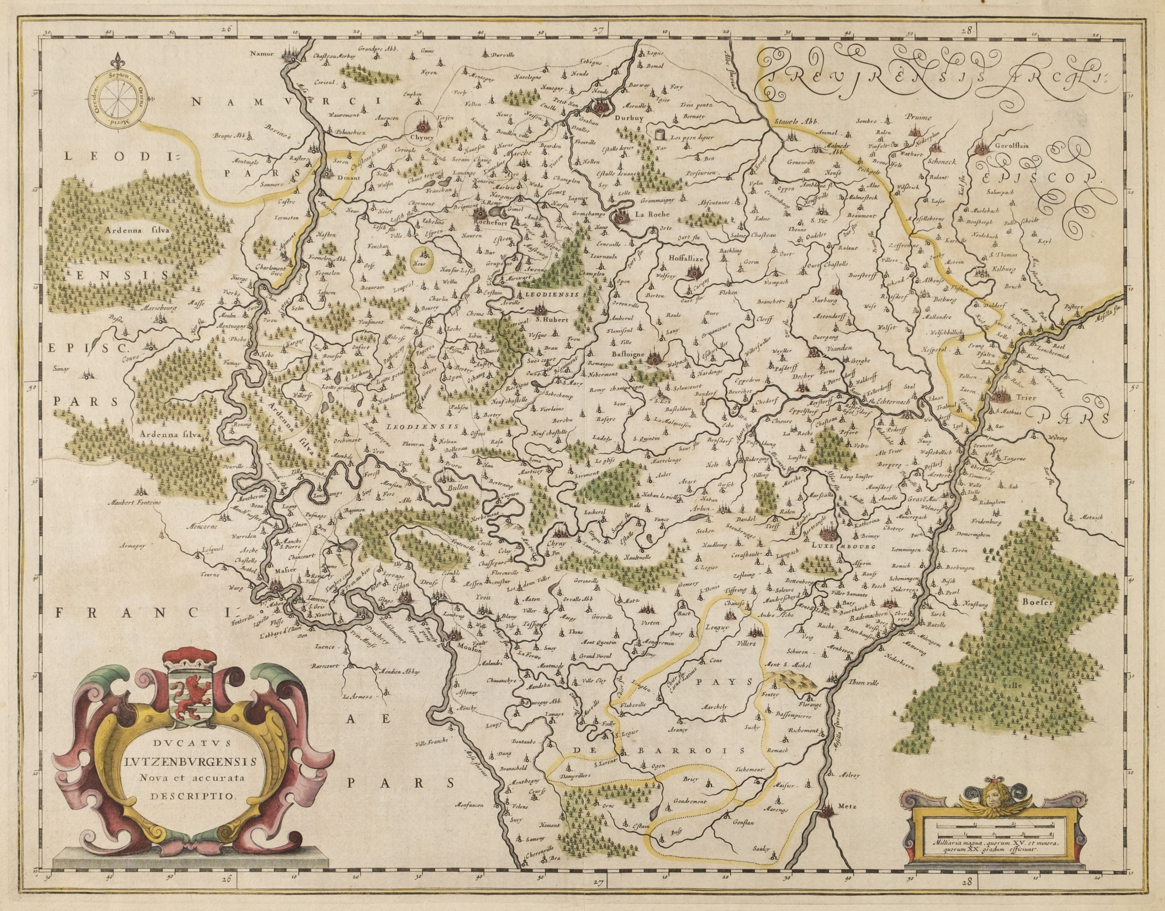
JANSSON, Jan (1588-1664). Nova et accutata Iaponiae terrae esonis ac insularum adjacentium. Amsterdam, 1658.
JANSSON, Jan (1588-1664). Nova et accutata Iaponiae terrae esonis ac insularum adjacentium. Amsterdam, 1658. Engraved map of Japan and Korea, outline coloring in a contemporary hand, image 455 x 550 mm (504 x 608 mm sheet). Decorated with an allegorical cartouche. (One short marginal tear, repaired on verso.) An important map of Japan and Korea. The map shows in the north the "Landt van Eso" and "Companies Land" following Martin Gerritson de Vries discoveries of 1643. They are distorted depictions of the island of Hokkaido and the Kurile Islands. The three southern islands are based on Ortelius and Teixeira. Walter Japan, a Cartographic Vision 30.


Try LotSearch and its premium features for 7 days - without any costs!
Be notified automatically about new items in upcoming auctions.
Create an alert