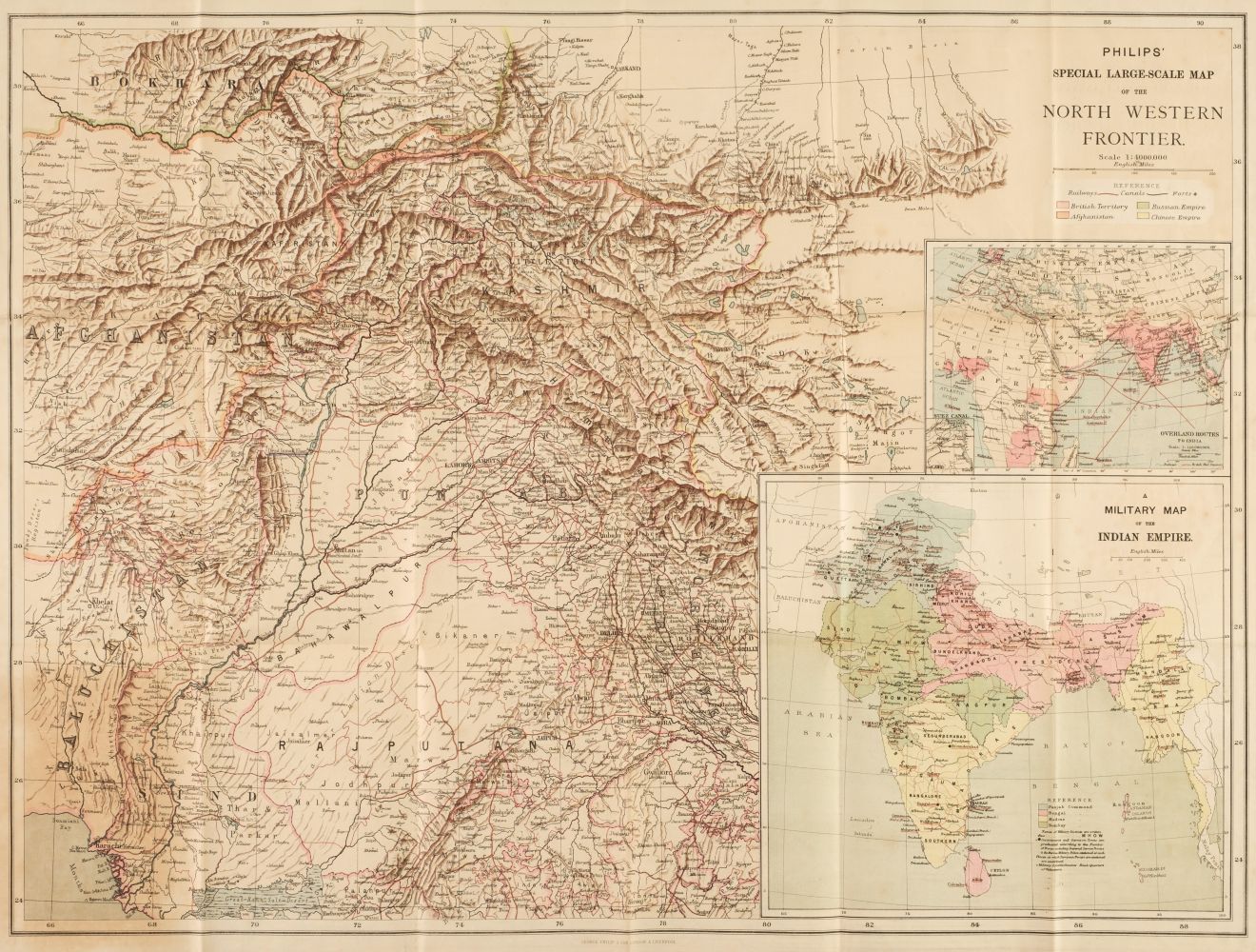
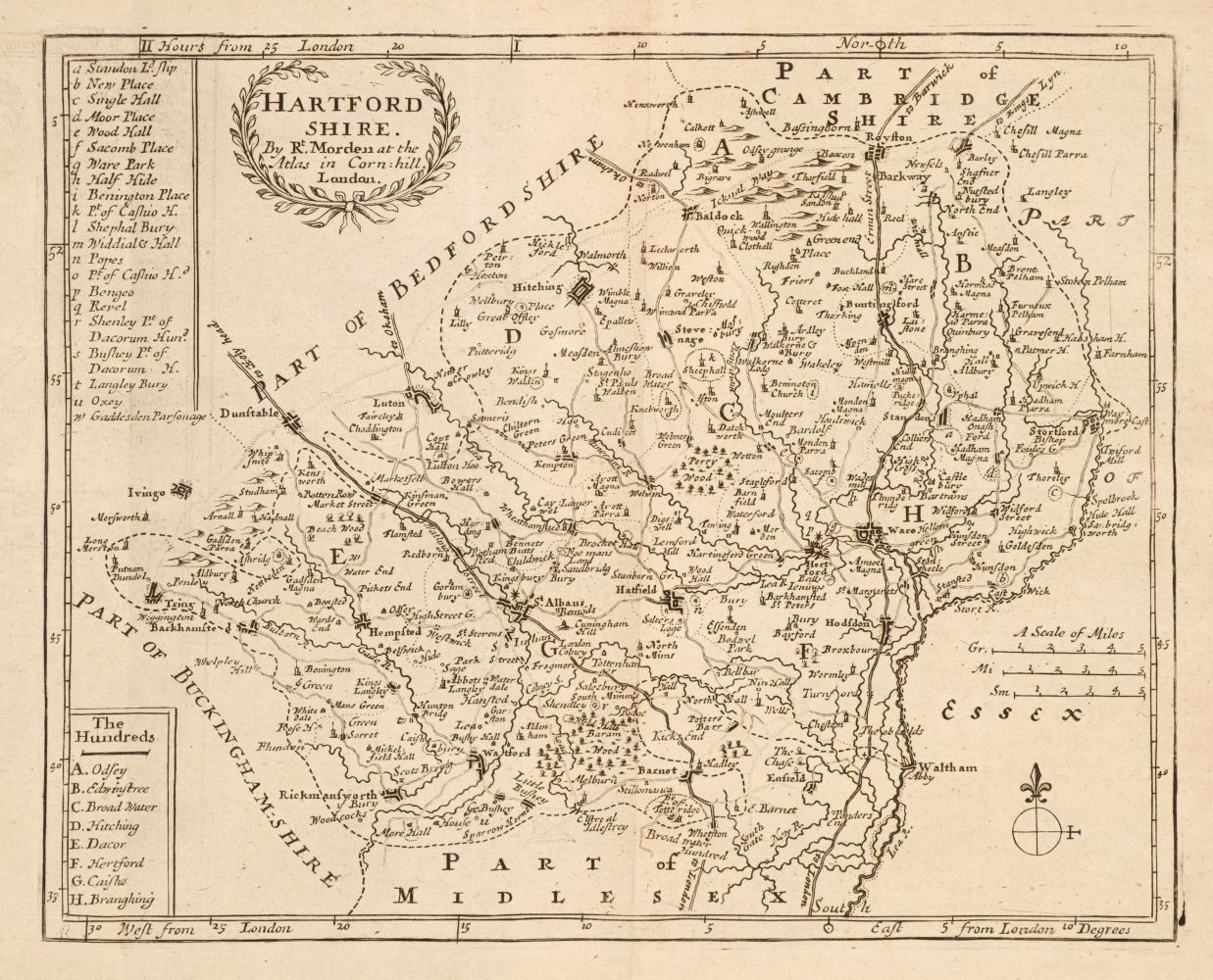
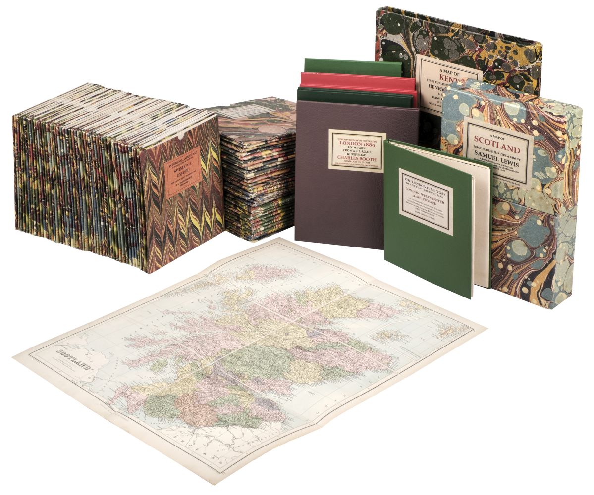
FOLDING MAPS: a collection of approx 25 folding maps, 19th-20thc, including Jeffery's 'Map of the Roads of England & Wales with the Exact Distances by the Milestones between Town and Town..', small hand-coloured folding map with slipcase, worn and browned: 'Stanford's General Map of the Germanic Confederation...', circa 1870: 'Johnston's War Map of Europe..showing the seats of operations in the Black Sea and the Sea of Azov, the Baltic and White seas, etc..', W & A K Johnston, 1855: 6 separate maps printed onto paper, contained within publishers red cloth slipcase, gilt lettered to one side: and others. (A tray)
FOLDING MAPS: a collection of approx 25 folding maps, 19th-20thc, including Jeffery's 'Map of the Roads of England & Wales with the Exact Distances by the Milestones between Town and Town..', small hand-coloured folding map with slipcase, worn and browned: 'Stanford's General Map of the Germanic Confederation...', circa 1870: 'Johnston's War Map of Europe..showing the seats of operations in the Black Sea and the Sea of Azov, the Baltic and White seas, etc..', W & A K Johnston, 1855: 6 separate maps printed onto paper, contained within publishers red cloth slipcase, gilt lettered to one side: and others. (A tray)


Try LotSearch and its premium features for 7 days - without any costs!
Be notified automatically about new items in upcoming auctions.
Create an alert