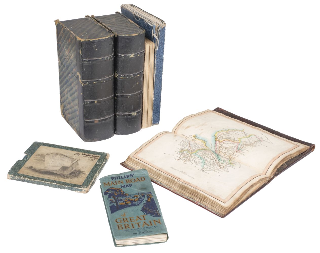
Folding maps. A collection of 6 folding maps of foreign parts, mostly 19th-century, including Philips's Special Large Scale Map of the North Western Frontier with a map of the Overland Routes and a Military Map of the Indian Empire, George Philip & Son, London & Liverpool, circa. 1897, folding colour lithographic map, lightly toned, laid on linen, folded in original printed cloth wrappers, 550 x 725 mm, together with: Stanford's Map of The Far East & Pacific Ocean to illustrate the international situation..., mandated territories are shown according to the latest information available, London: Edward Stanford, 1941, folding colour photolithographic map, pinholes to upper corners of margins, laid on linen, original wrappers to verso, 550 x 700 mm, plus Bartholomew's War Map of Afghanistan and the indo-Russian frontiers, with a large general map showing the connection between England, Russia, & India, Edinburgh: John Bartholomew, 1885, folding colour lithographic map, a few tears and holes to folds, original wrapper to verso, 830 x 615 mm, plus Philip's Special Large Scale War Map of The Soudan, Extending to Suakim on the Red Sea, with an enlarged plan of Kharetu, London: George Philip & Son, 1885, folding colour lithographic map, printed in black and blue, some spotting, a few tears to folds, original wrapper to verso, 575 x 795 mm, plus Map of British Malaya including the Straits Settlements, Federated Malay States and Malay States not included in the Federation...., Published under the direction of the Surveyor General, 1924, folding colour lithographic map, light spotting, area of loss to top left corner, laid on linen, 915 x 880 mm, and Town of Accra, circa. 1930, folding colour lithographic map, a few pencil annotations to printed area, margins and manuscript title to verso, light toning, 900 x 450 mm (Quantity: 6)
Folding maps. A collection of 6 folding maps of foreign parts, mostly 19th-century, including Philips's Special Large Scale Map of the North Western Frontier with a map of the Overland Routes and a Military Map of the Indian Empire, George Philip & Son, London & Liverpool, circa. 1897, folding colour lithographic map, lightly toned, laid on linen, folded in original printed cloth wrappers, 550 x 725 mm, together with: Stanford's Map of The Far East & Pacific Ocean to illustrate the international situation..., mandated territories are shown according to the latest information available, London: Edward Stanford, 1941, folding colour photolithographic map, pinholes to upper corners of margins, laid on linen, original wrappers to verso, 550 x 700 mm, plus Bartholomew's War Map of Afghanistan and the indo-Russian frontiers, with a large general map showing the connection between England, Russia, & India, Edinburgh: John Bartholomew, 1885, folding colour lithographic map, a few tears and holes to folds, original wrapper to verso, 830 x 615 mm, plus Philip's Special Large Scale War Map of The Soudan, Extending to Suakim on the Red Sea, with an enlarged plan of Kharetu, London: George Philip & Son, 1885, folding colour lithographic map, printed in black and blue, some spotting, a few tears to folds, original wrapper to verso, 575 x 795 mm, plus Map of British Malaya including the Straits Settlements, Federated Malay States and Malay States not included in the Federation...., Published under the direction of the Surveyor General, 1924, folding colour lithographic map, light spotting, area of loss to top left corner, laid on linen, 915 x 880 mm, and Town of Accra, circa. 1930, folding colour lithographic map, a few pencil annotations to printed area, margins and manuscript title to verso, light toning, 900 x 450 mm (Quantity: 6)



Try LotSearch and its premium features for 7 days - without any costs!
Be notified automatically about new items in upcoming auctions.
Create an alert