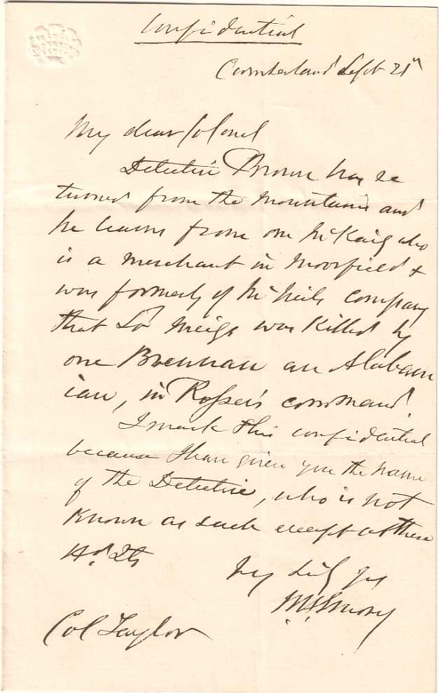
EMORY, William H. (1811-1887). Letter signed ("W.H. Emory") to R. W. Johnson, Washington, D.C., 20 December 1856. 2 pages, 4 o, ruled paper, punch hole at top left . A CRUCIAL AMERICAN CARTOGRAPHER PLANS THE PUBLICATION OF HIS TEXAS-MEXICO BOUNDARY SURVEY. Mexican War veteran and later Brigadier General in the Civil War, W. H. Emory here discusses with a Congressman on the committee for printing, the publication of his momentous Report on the United States and Mexican Boundary Survey, (1857-1859). He recommends a Georgetown engraver, "Mr. W. H. Dougal,...in every way a responsible person for the printing and illustration of my report." He discusses the merits and costs of printing "each plate from Steel (without transferring to Stone or any other substance)" versus the "printing by transfer to Stone as estimated by Mr. Seaman." He then suggests moving the geological section of volume two into the first volume to make the second installment less "ponderous." Emory's maps and surveys were anything but ponderous academic exercises. They were decisive documents in America's westward expansion. His 1847 map of the Rio Grande and the Southwest was the first precise cartographic measurement of that portion of the country. In 1848, the government asked him to survey the newly created Mexico-Texas boundary following the treaty of Guadalupe Hidalgo. The fruit of his labors is the work he discusses here. His survey was used to lay out the Southern Pacific Railroad line, following a route recommended by Emory. He later served in the Mormon expedition and fought in several Civil War engagements in the Chesapeake. Emory Peak in Texas is named after him, "a fitting tribute to a man who did more than any other individual to demarcate the 3,000-kilometer border between the United States and Mexico" (Thrower, ANB ).
EMORY, William H. (1811-1887). Letter signed ("W.H. Emory") to R. W. Johnson, Washington, D.C., 20 December 1856. 2 pages, 4 o, ruled paper, punch hole at top left . A CRUCIAL AMERICAN CARTOGRAPHER PLANS THE PUBLICATION OF HIS TEXAS-MEXICO BOUNDARY SURVEY. Mexican War veteran and later Brigadier General in the Civil War, W. H. Emory here discusses with a Congressman on the committee for printing, the publication of his momentous Report on the United States and Mexican Boundary Survey, (1857-1859). He recommends a Georgetown engraver, "Mr. W. H. Dougal,...in every way a responsible person for the printing and illustration of my report." He discusses the merits and costs of printing "each plate from Steel (without transferring to Stone or any other substance)" versus the "printing by transfer to Stone as estimated by Mr. Seaman." He then suggests moving the geological section of volume two into the first volume to make the second installment less "ponderous." Emory's maps and surveys were anything but ponderous academic exercises. They were decisive documents in America's westward expansion. His 1847 map of the Rio Grande and the Southwest was the first precise cartographic measurement of that portion of the country. In 1848, the government asked him to survey the newly created Mexico-Texas boundary following the treaty of Guadalupe Hidalgo. The fruit of his labors is the work he discusses here. His survey was used to lay out the Southern Pacific Railroad line, following a route recommended by Emory. He later served in the Mormon expedition and fought in several Civil War engagements in the Chesapeake. Emory Peak in Texas is named after him, "a fitting tribute to a man who did more than any other individual to demarcate the 3,000-kilometer border between the United States and Mexico" (Thrower, ANB ).




Testen Sie LotSearch und seine Premium-Features 7 Tage - ohne Kosten!
Lassen Sie sich automatisch über neue Objekte in kommenden Auktionen benachrichtigen.
Suchauftrag anlegen