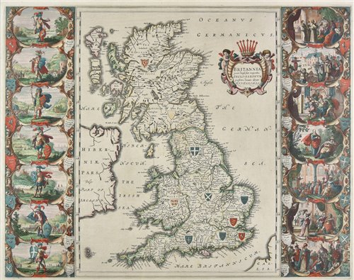
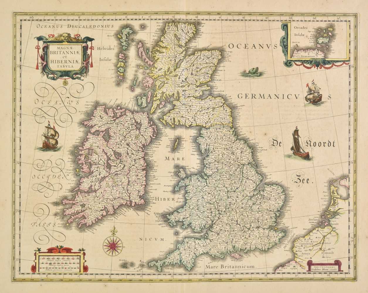
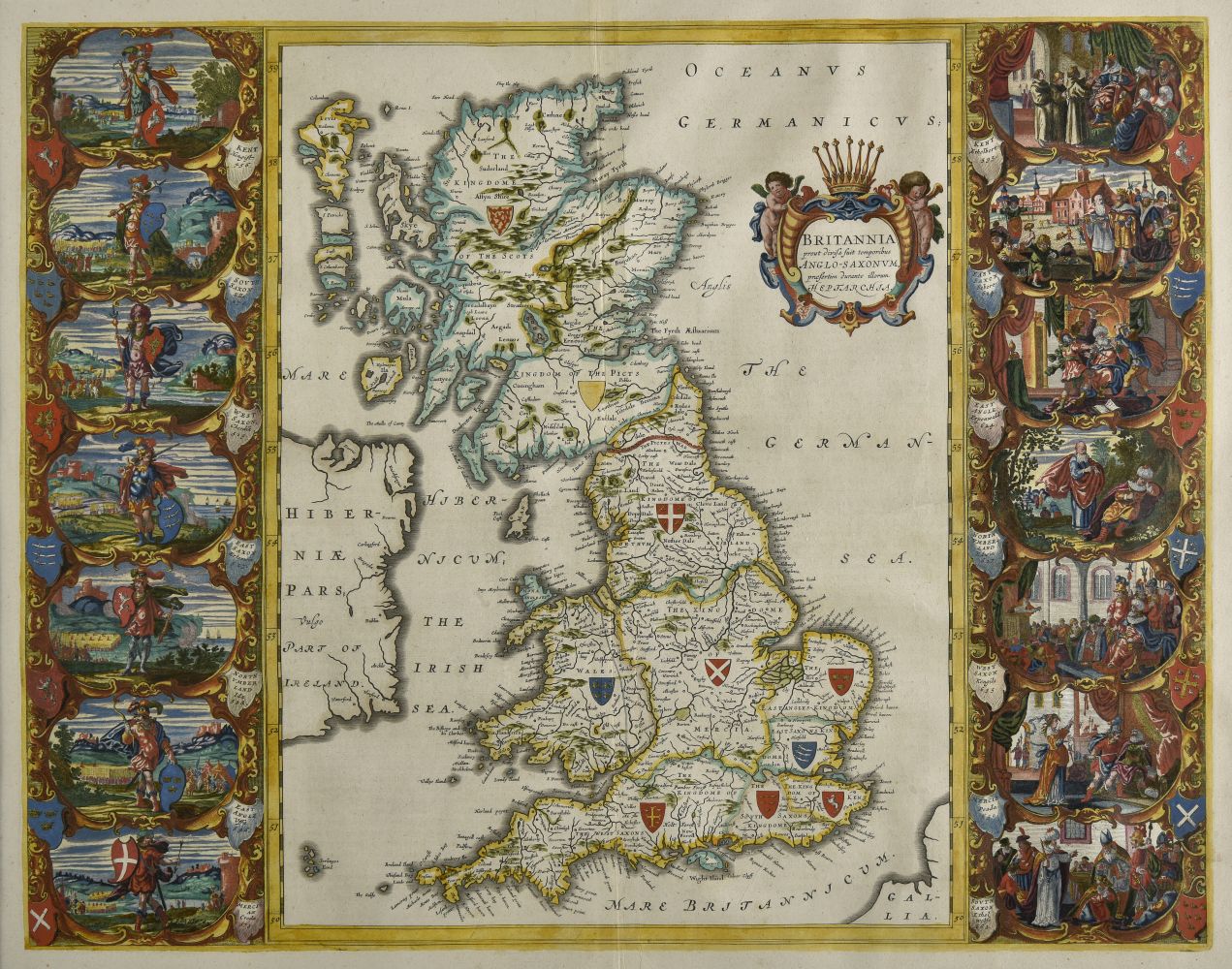
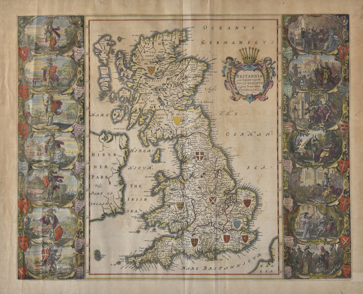
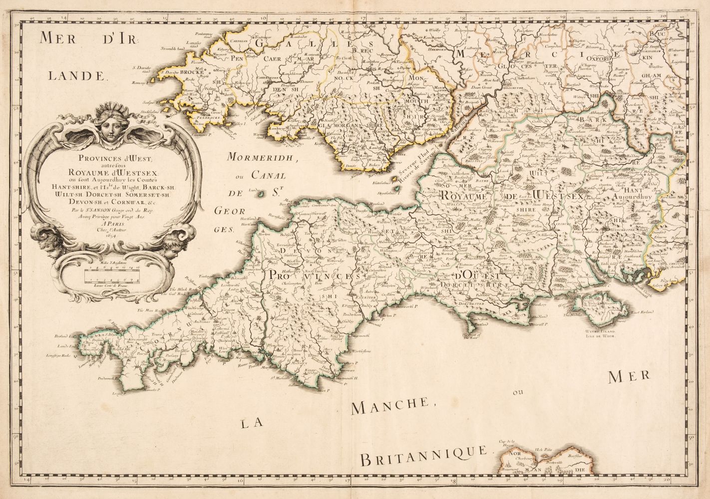
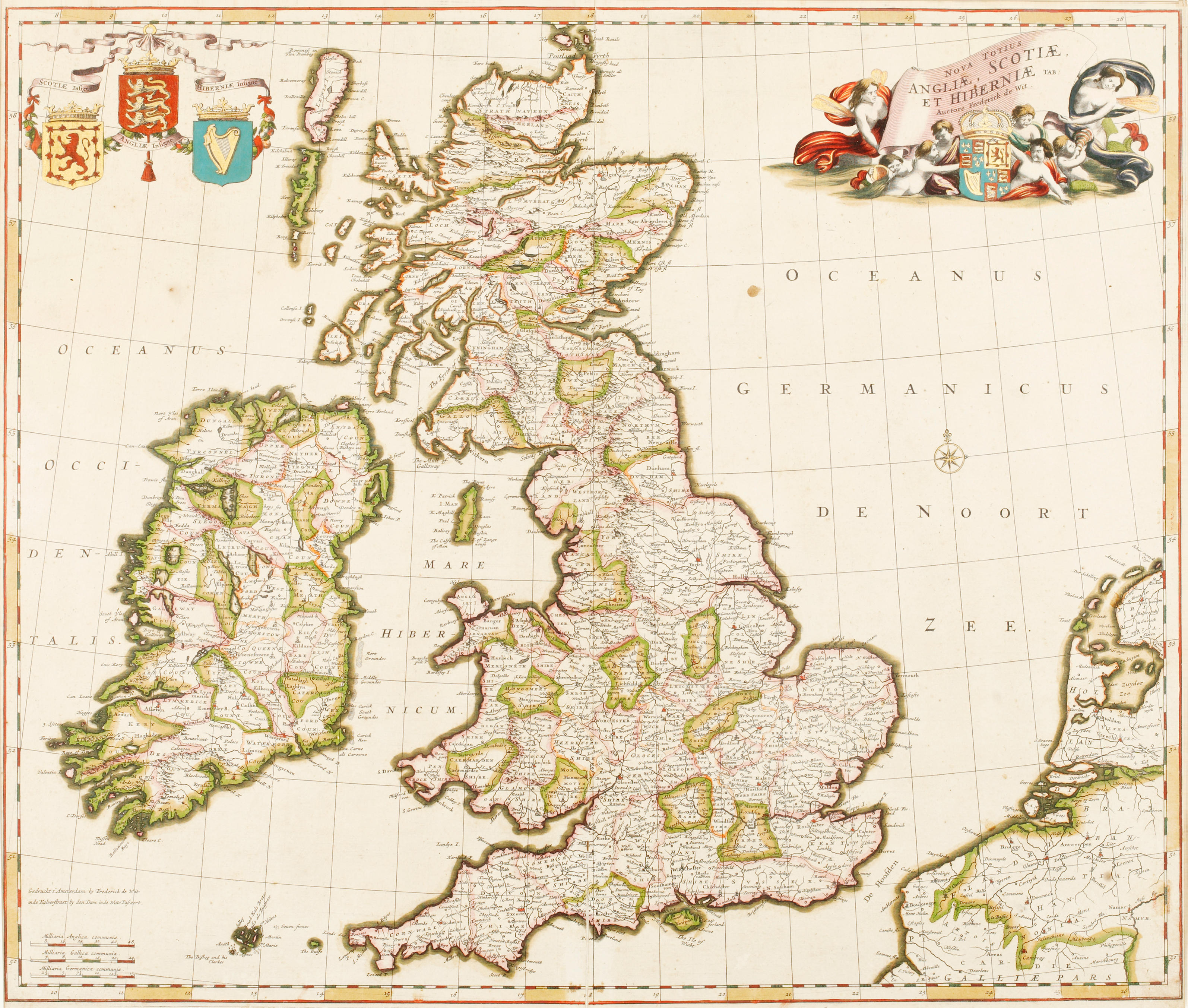
British Isles. Blaeu (Johannes), Anglia Regnum, Amsterdam, circa 1662, engraved map with contemporary outline colouring, slight spotting and dust soiling, upper margin strengthened on recto, 385 x 500 mm, Spanish text on verso, together with Blome (Richard). A Mapp of Staffordshire with its Hundreds, circa 1673, engraved map, hand-coloured in outline, 330 x 245 mm, with Morden (Robert). Cheshire, circa 1705, uncoloured engraved map, 165 x 200 mm, plus Williams (G. Commander, surveyor). Isle of Man, Admiralty chart, 1846, last update 1977, colour photolithographic map, inset maps of Port Erin, Peel, Calf Sound, Castletown Bay, Ramsey Bay & Port St. Mary, the title of each inset map scored through in biro, old folds, slight browning, 1020 x 665 mm and Mount (William & Page Thomas . A New and Correct Draught of the Channell between England & France, shewing ye Sands, Shoales, depth of Water & Anchorage on ye said Coasts with the Setting of the Tydes and the time of High water as observed by Capt. Edm. Halley, circa 1748, an uncoloured engraved chart on two conjoined sheets, inset map of the Scilly Isles, horizon profiles to upper margin, compass rose and numerous rhumb lines, old folds, heavily dust-soiled, some spotting and staining, near-contemporary manuscript annotations to verso, 450 x 815 mm, together with Faden (William). A Map of the Mediterranean Sea with the Adjacent Regions and Seas in Europe, Asia and Africa, 1785, engraved map with bright contemporary hand colouring, large uncoloured allegorical cartouche, 605 x 850 mm (Qty: 6) The Mount and Page chart of the English Channel was an immediate reaction to Edmond Halley's 'Fundamental Thematic Map of the English Channel'. The importance of understanding longitude was well known, but the tidal flow of the seas and their unpredictability was a major navigational hazard resulting in heavy losses of vessels, especially on the approach to harbours and ports. Halley's voyage aboard the "Paramore" in 1701, enabled him to produce a map of the English Channel which for the first time, enabled a prediction of the tides. Its genius was that it made something that was extremely complicated, understandable by 18th-century mariners. Mount & Page published a derivative map in 1702 and this example was published in the 'English Pilot' of 1749.
British Isles. Blaeu (Johannes), Anglia Regnum, Amsterdam, circa 1662, engraved map with contemporary outline colouring, slight spotting and dust soiling, upper margin strengthened on recto, 385 x 500 mm, Spanish text on verso, together with Blome (Richard). A Mapp of Staffordshire with its Hundreds, circa 1673, engraved map, hand-coloured in outline, 330 x 245 mm, with Morden (Robert). Cheshire, circa 1705, uncoloured engraved map, 165 x 200 mm, plus Williams (G. Commander, surveyor). Isle of Man, Admiralty chart, 1846, last update 1977, colour photolithographic map, inset maps of Port Erin, Peel, Calf Sound, Castletown Bay, Ramsey Bay & Port St. Mary, the title of each inset map scored through in biro, old folds, slight browning, 1020 x 665 mm and Mount (William & Page Thomas . A New and Correct Draught of the Channell between England & France, shewing ye Sands, Shoales, depth of Water & Anchorage on ye said Coasts with the Setting of the Tydes and the time of High water as observed by Capt. Edm. Halley, circa 1748, an uncoloured engraved chart on two conjoined sheets, inset map of the Scilly Isles, horizon profiles to upper margin, compass rose and numerous rhumb lines, old folds, heavily dust-soiled, some spotting and staining, near-contemporary manuscript annotations to verso, 450 x 815 mm, together with Faden (William). A Map of the Mediterranean Sea with the Adjacent Regions and Seas in Europe, Asia and Africa, 1785, engraved map with bright contemporary hand colouring, large uncoloured allegorical cartouche, 605 x 850 mm (Qty: 6) The Mount and Page chart of the English Channel was an immediate reaction to Edmond Halley's 'Fundamental Thematic Map of the English Channel'. The importance of understanding longitude was well known, but the tidal flow of the seas and their unpredictability was a major navigational hazard resulting in heavy losses of vessels, especially on the approach to harbours and ports. Halley's voyage aboard the "Paramore" in 1701, enabled him to produce a map of the English Channel which for the first time, enabled a prediction of the tides. Its genius was that it made something that was extremely complicated, understandable by 18th-century mariners. Mount & Page published a derivative map in 1702 and this example was published in the 'English Pilot' of 1749.



Testen Sie LotSearch und seine Premium-Features 7 Tage - ohne Kosten!
Lassen Sie sich automatisch über neue Objekte in kommenden Auktionen benachrichtigen.
Suchauftrag anlegen