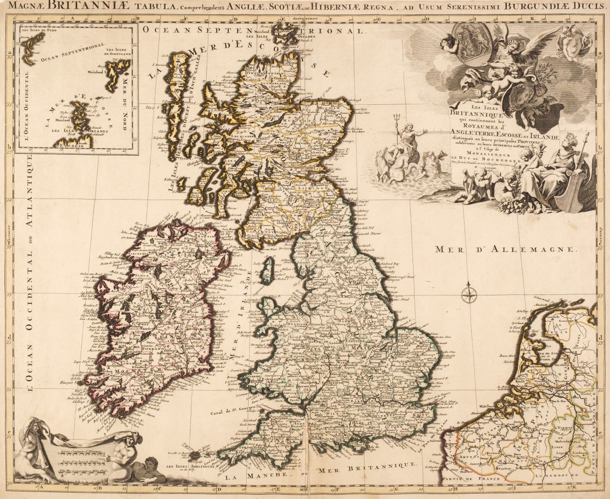
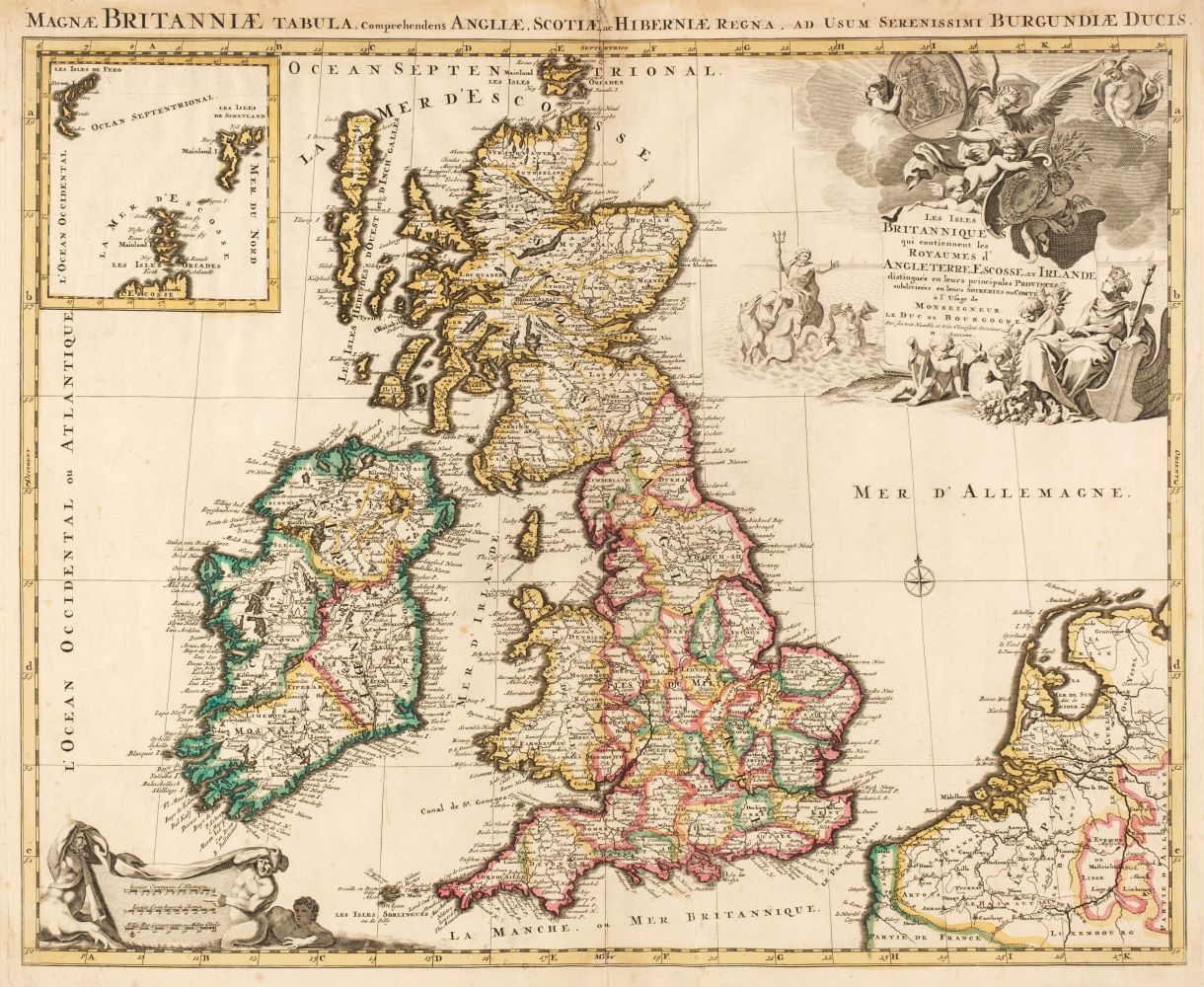
Blaeu (Johannes), Magnae Britanniae et Hiberniae tabula, published Amsterdam, circa 1650, engraved map with sparse outline colouring, inset map of the Orkney Islands, occasional repaired marginal closed tears, toned overall, 390 x 500 mm, Latin text on verso R.W.Shirley. Early Printed Maps of the British Isles 1477 - 1650, no.423. (1)
Blaeu (Johannes), Magnae Britanniae et Hiberniae tabula, published Amsterdam, circa 1650, engraved map with sparse outline colouring, inset map of the Orkney Islands, occasional repaired marginal closed tears, toned overall, 390 x 500 mm, Latin text on verso R.W.Shirley. Early Printed Maps of the British Isles 1477 - 1650, no.423. (1)






Testen Sie LotSearch und seine Premium-Features 7 Tage - ohne Kosten!
Lassen Sie sich automatisch über neue Objekte in kommenden Auktionen benachrichtigen.
Suchauftrag anlegen