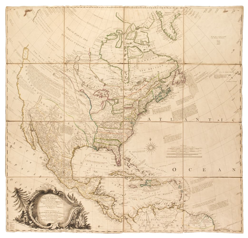
Title: A Map of North America with the European Settlements & whatever else is remarkable in ye West Indies, from the latest and best Observations Author: Seale, R[ichard] W[illiam] Place: [London] Publisher: Date: [1745] Description: Copper-engraved map, later hand-coloring in outline. 37.5x46.8 cm. (14¾x18¼"), matted & framed under plexiglass. Well-engraved map of North America, with California an island with an indented northern coast. Tooley remarks, "California presented as an island with a mountainous chain down the centre with two named M. Nevada & Mt St. Marti, and 6 towns marked, Canot, St Nicholas, St Juan, St. Isidore, Gigante, and Na Sa de la Guada. Seale engraved maps for Tindal's Continuation of Rapin's History of England, 1744-1747." This is one of the last maps to portray California as an island, executed just two years before King Ferdinand VII decreed that California was not an island. The detail on the east coast is great, and fairly accurate, in contrast to the ignorance of the west. McLaughlin 228; Tooley 97. Lot Amendments Condition: Not examined out of frame, but appears not to be laid down; near fine. Item number: 239582
Title: A Map of North America with the European Settlements & whatever else is remarkable in ye West Indies, from the latest and best Observations Author: Seale, R[ichard] W[illiam] Place: [London] Publisher: Date: [1745] Description: Copper-engraved map, later hand-coloring in outline. 37.5x46.8 cm. (14¾x18¼"), matted & framed under plexiglass. Well-engraved map of North America, with California an island with an indented northern coast. Tooley remarks, "California presented as an island with a mountainous chain down the centre with two named M. Nevada & Mt St. Marti, and 6 towns marked, Canot, St Nicholas, St Juan, St. Isidore, Gigante, and Na Sa de la Guada. Seale engraved maps for Tindal's Continuation of Rapin's History of England, 1744-1747." This is one of the last maps to portray California as an island, executed just two years before King Ferdinand VII decreed that California was not an island. The detail on the east coast is great, and fairly accurate, in contrast to the ignorance of the west. McLaughlin 228; Tooley 97. Lot Amendments Condition: Not examined out of frame, but appears not to be laid down; near fine. Item number: 239582


Testen Sie LotSearch und seine Premium-Features 7 Tage - ohne Kosten!
Lassen Sie sich automatisch über neue Objekte in kommenden Auktionen benachrichtigen.
Suchauftrag anlegen