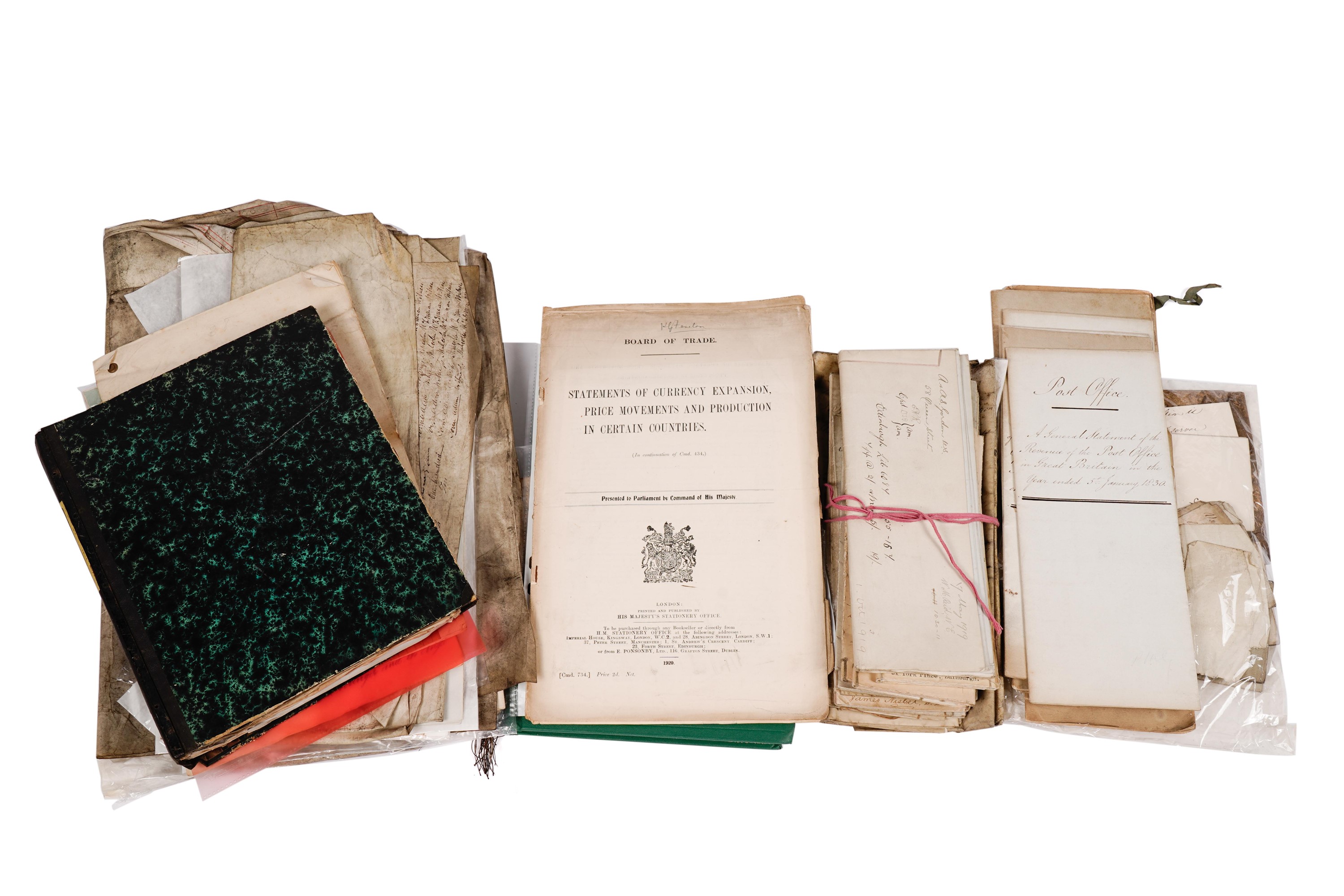
18th century Navigation.- Navigation, manuscript, 174pp., partially ruled in red, 2 folding pen and ink maps hand-coloured in outline, numerous pen and ink diagrams, slightly browned, new endpapers, modern cloth, some edges slightly chipped, folio, dated in text and map at end 1791. ⁂ A manual for teaching navigation. Headings include: "A Journal of a Voyage... In the Henry of Whitby... A.B. Commander... Kept by J. Breckon... November 17th 1791"; "Mercator's Sailing. The Construction & Use of the Meridional Parts"; "To work an Observation, or to find the Latitude of a Place by the Tables of the Sun, or Stars..."; "To find the Time of High Water"; "Construction of Mercator's Chart"; "Parallel Sailing" etc. Maps comprise: "A Mercator's Chart... Drawn by Joseph Wilson 1791"; "A Plane Chart" [showing the UK and Europe and its seas].
18th century Navigation.- Navigation, manuscript, 174pp., partially ruled in red, 2 folding pen and ink maps hand-coloured in outline, numerous pen and ink diagrams, slightly browned, new endpapers, modern cloth, some edges slightly chipped, folio, dated in text and map at end 1791. ⁂ A manual for teaching navigation. Headings include: "A Journal of a Voyage... In the Henry of Whitby... A.B. Commander... Kept by J. Breckon... November 17th 1791"; "Mercator's Sailing. The Construction & Use of the Meridional Parts"; "To work an Observation, or to find the Latitude of a Place by the Tables of the Sun, or Stars..."; "To find the Time of High Water"; "Construction of Mercator's Chart"; "Parallel Sailing" etc. Maps comprise: "A Mercator's Chart... Drawn by Joseph Wilson 1791"; "A Plane Chart" [showing the UK and Europe and its seas].


.jpg?w=400)


.jpg)
.jpg)

Try LotSearch and its premium features for 7 days - without any costs!
Be notified automatically about new items in upcoming auctions.
Create an alert