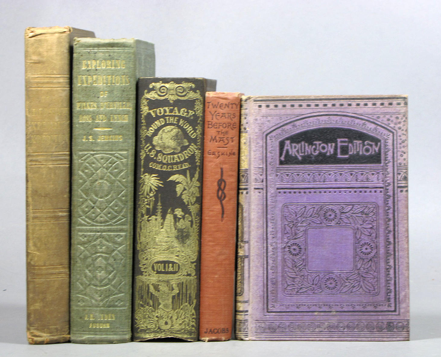
WILKES, CHARLES Narrative of the United States Exploring Expedition . Philadelphia: Lea & Blanchard, 1845. Third edition. Six volumes including atlas. Original cloth stamped in gilt. 11 1/4 x 7 inches (29 x 18 cm); half-titles, 64 plates and 14 maps (the atlas with 5 large folding maps, 1 of which is hand-colored). A very attractive set with some foxing to plates and some faint stains to first and last leaves, a collation tipped to the front pastedown of volume 1, the first leaves of volume 1 and some other plates and guards detached, the folding maps with very few short splits to folds or short tears where mounted, the bindings lightly faded at extremities, overall a very clean and desirable set. The United States Exploring Expedition was a major scientific survey and exploration of the Pacific Ocean and surrounding lands between 1838 to 1842. Originally ordered by John Quincy Adams in 1828, the expedition did not sail for several years while preparations were made and funds raised for what was to be the most ambitious expedition in American history. Under the command of Lieutenant Wilkes the expedition visited Rio de Janeiro, Tierra del Fuego, Samoa, New South Wales, Fiji, and the Hawaiian Islands. In North America, the expedition further explored the Pacific Northwest, the Columbia River, and Puget Sound. As noted by Howes, this was "The first United States scientific expedition by sea. Wilkes sailed along and surveyed the whole Northwest coast and his exploring parties penetrated into the interior at many points..." Despite the scientific nature of the expedition, armed conflict arose on many occasions resulting in the death of many Islanders and several Americans. This third edition is preceded by a special quarto Congressional issue of only 100 copies of which many were destroyed by fire and an unofficial issue of 150 copies. Wagner-Camp 175a; Howes W414; Sabin 103994. C
WILKES, CHARLES Narrative of the United States Exploring Expedition . Philadelphia: Lea & Blanchard, 1845. Third edition. Six volumes including atlas. Original cloth stamped in gilt. 11 1/4 x 7 inches (29 x 18 cm); half-titles, 64 plates and 14 maps (the atlas with 5 large folding maps, 1 of which is hand-colored). A very attractive set with some foxing to plates and some faint stains to first and last leaves, a collation tipped to the front pastedown of volume 1, the first leaves of volume 1 and some other plates and guards detached, the folding maps with very few short splits to folds or short tears where mounted, the bindings lightly faded at extremities, overall a very clean and desirable set. The United States Exploring Expedition was a major scientific survey and exploration of the Pacific Ocean and surrounding lands between 1838 to 1842. Originally ordered by John Quincy Adams in 1828, the expedition did not sail for several years while preparations were made and funds raised for what was to be the most ambitious expedition in American history. Under the command of Lieutenant Wilkes the expedition visited Rio de Janeiro, Tierra del Fuego, Samoa, New South Wales, Fiji, and the Hawaiian Islands. In North America, the expedition further explored the Pacific Northwest, the Columbia River, and Puget Sound. As noted by Howes, this was "The first United States scientific expedition by sea. Wilkes sailed along and surveyed the whole Northwest coast and his exploring parties penetrated into the interior at many points..." Despite the scientific nature of the expedition, armed conflict arose on many occasions resulting in the death of many Islanders and several Americans. This third edition is preceded by a special quarto Congressional issue of only 100 copies of which many were destroyed by fire and an unofficial issue of 150 copies. Wagner-Camp 175a; Howes W414; Sabin 103994. C


.jpg)
Try LotSearch and its premium features for 7 days - without any costs!
Be notified automatically about new items in upcoming auctions.
Create an alert