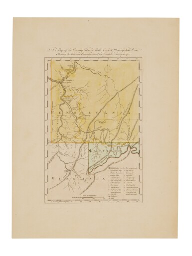
Thomas Jefferys,
British c.1710/19-1771-
Plan of the Town and Citadel of Palais, the Capital of Bell'Isle;
hand-coloured engraving, 16.1 x 23.3 cm.
Provenance:
with The Boydell Galleries, Liverpool.
Private Collection, UK.
Note:
Jefferys was a prolific and prominent cartographer and 'Geographer to King George III'. He was particularly well-known for his maps of North America, produced in the mid-18th century, when territorial disputes were raging across the continent.
The present map depicts Le Palais, the main town on the island of Belle-Île-en-Mer off the Breton coast, which is itself the second largest of the islands off mainland France, after Corsica. The citadel was built in 1549, and was redesigned in the late 17th century by Sébastien Le Prestre de Vauban military engineer to Louis XIV. This map is related to the British invasion and occupation of the island from 1761 to 1763.


.jpg)


.jpg)


Testen Sie LotSearch und seine Premium-Features 7 Tage - ohne Kosten!
Lassen Sie sich automatisch über neue Objekte in kommenden Auktionen benachrichtigen.
Suchauftrag anlegen