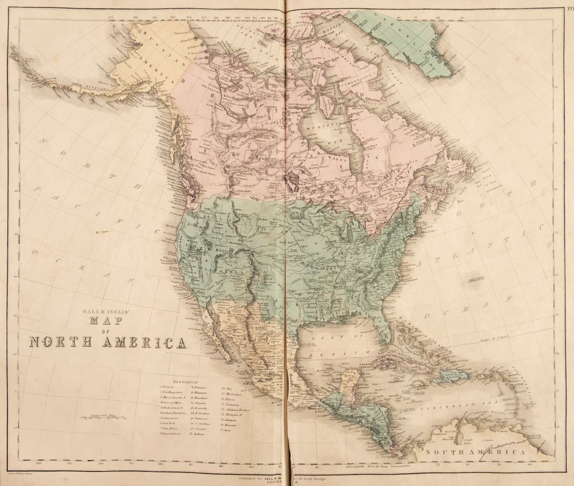
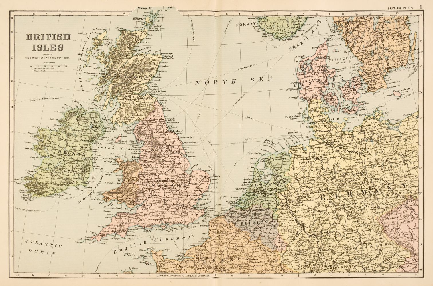
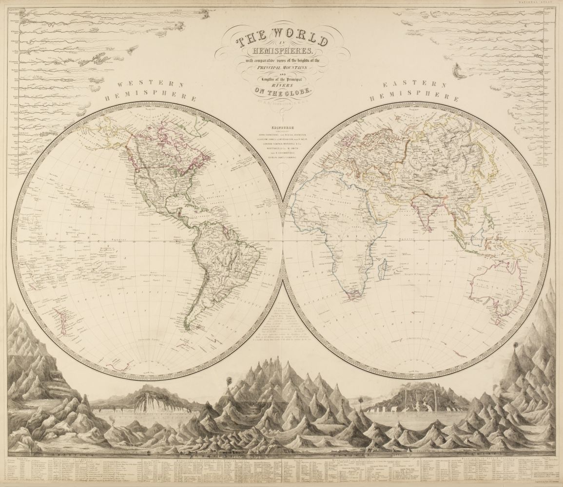
Title: The Imperial Atlas of Modern Georgraphy; an Extensive Series of Maps, Embracing the Most Recent Discoveries and the Latest Political Divisions of Territory in all Parts of the World Author: Blackie, W. G. Place: London Publisher: Blackie and Son Date: 1864 Description: [9], 100 (map plates), 117 pp. With 109 maps with hand-colored outlines (61 are double-page), plus insets; numerous wood engravings and figure drawings within the text. 14¾x12¼, original half morocco and tan cloth, lettered in gilt, marbled endpapers, all edges gilt. With over 60 double-page maps, including: the World, various European countries, Asia, Arabia, Africa, North and South America (Canada, the United States, Mexico, etc.), Australia, the Pacific Ocean and more. The U.S. map shows a very large Nebraska, Minnesota, New Mexico, Utah, Oregon, Texas, and Kansas. Phillips 3556 (citing 1860 edition). Lot Amendments Condition: Covers detached, leather worn, spine split in half, soiling, a few stains; some wear to page edges, title wrinkled, occasional toning and foxing; maps still in very good condition - worthy of restoration. Item number: 144231
Title: The Imperial Atlas of Modern Georgraphy; an Extensive Series of Maps, Embracing the Most Recent Discoveries and the Latest Political Divisions of Territory in all Parts of the World Author: Blackie, W. G. Place: London Publisher: Blackie and Son Date: 1864 Description: [9], 100 (map plates), 117 pp. With 109 maps with hand-colored outlines (61 are double-page), plus insets; numerous wood engravings and figure drawings within the text. 14¾x12¼, original half morocco and tan cloth, lettered in gilt, marbled endpapers, all edges gilt. With over 60 double-page maps, including: the World, various European countries, Asia, Arabia, Africa, North and South America (Canada, the United States, Mexico, etc.), Australia, the Pacific Ocean and more. The U.S. map shows a very large Nebraska, Minnesota, New Mexico, Utah, Oregon, Texas, and Kansas. Phillips 3556 (citing 1860 edition). Lot Amendments Condition: Covers detached, leather worn, spine split in half, soiling, a few stains; some wear to page edges, title wrinkled, occasional toning and foxing; maps still in very good condition - worthy of restoration. Item number: 144231

.jpg)
.jpg)


.jpg)

.jpg)


Try LotSearch and its premium features for 7 days - without any costs!
Be notified automatically about new items in upcoming auctions.
Create an alert