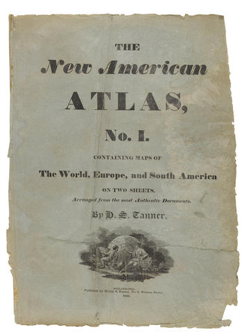
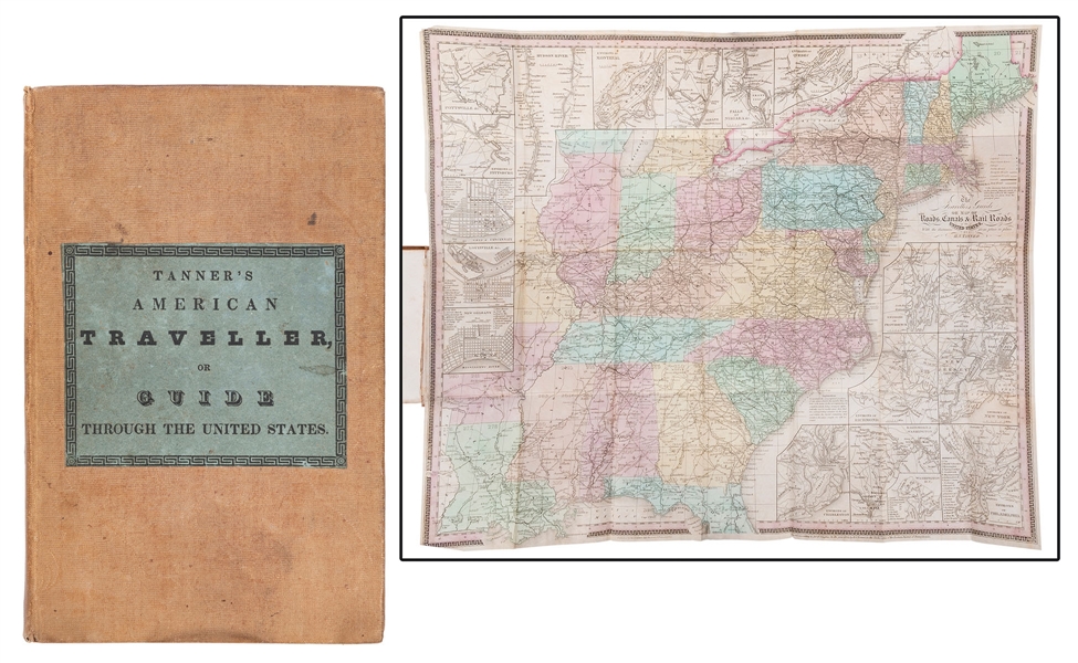
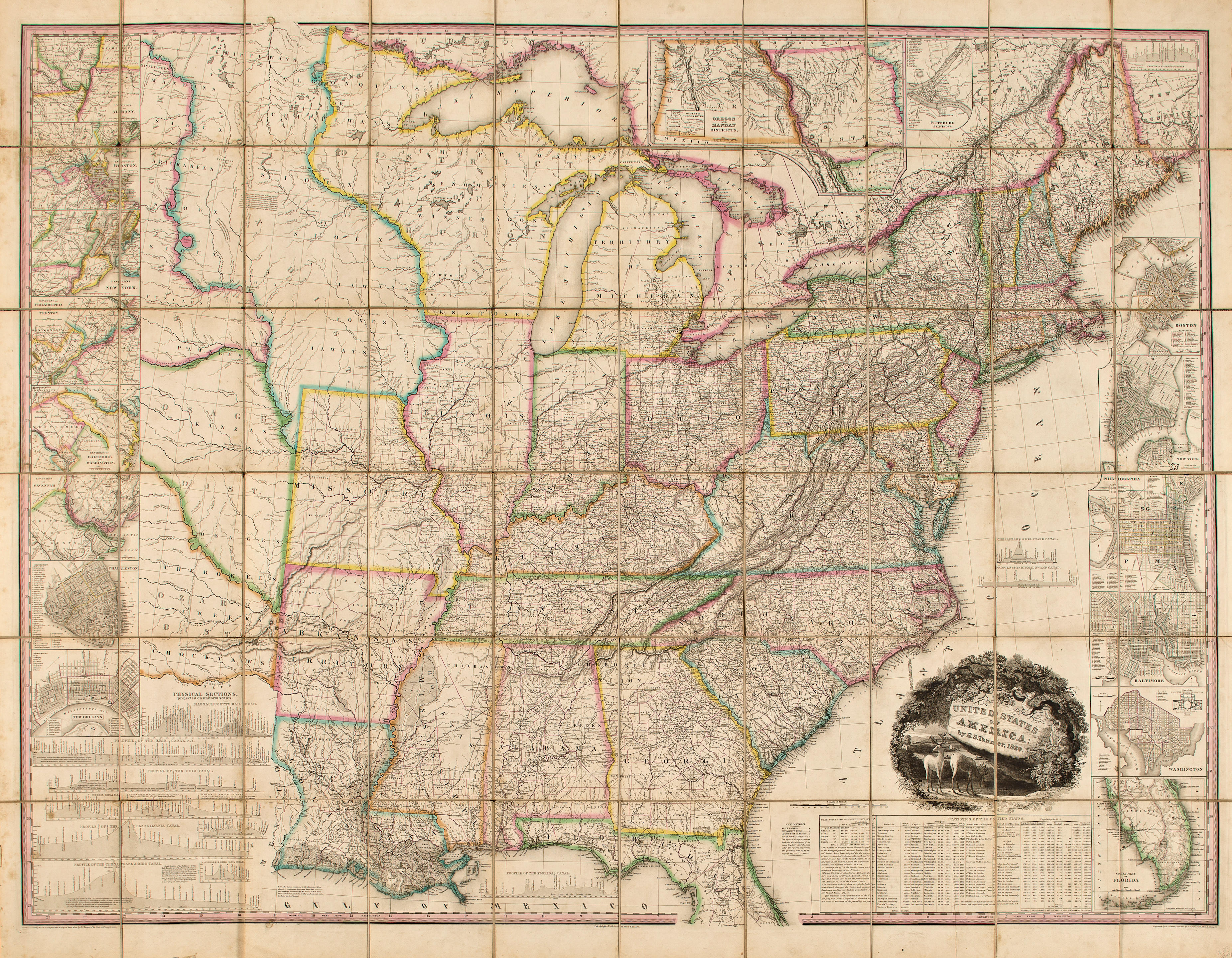
Tanner, Henry Schenck A New American Atlas Containing Maps of The Several States of the North American Union. Philadelphia, H. S. Tanner, 1825 Folio (608 x 406 mm). Half-title, engraved title with vignette of the "First Landing of Columbus in the New World," 1 page index, [24] pages of text, 18 handcolored engraved maps (of which 16 are double-page and 1 folding made up of two sheets numbered "6" and "7" in the index), and one large folding map (made up from 4 sheets numbered 8–11), both folding maps with cloth joints; marginal tear in "Europe" mended, light dampstain in upper margin of maps 16-18, light marginal soiling, fold-tear in lower margin of "World" map. Contemporary calf, roll-tooled floral border in gilt and blind, spine richly gilt with gilt-stamped title, speckled edges, by Davis of Philadelphia, rebacked with original spine laid down, corners and edges mended. A landmark in American cartography. Second edition of "one of the most magnificent atlases ever published in the United States" (Ristow). Tanner's atlas contained the most accurate series of American maps that had yet been published, including maps devoted to individual and multiple states based on original surveys and the best published sources. The two large folding maps, made up of multiple sheets, are devoted to South and North America. The contemporary reviews of this monumental work were positive. Jared Sparks described it in the April 1824 North American Review "as an American Atlas, we believe Mr. Tanner's work to hold a rank above any other, which has been published." REFERENCECelebration of My Country, 169; Howes T29; Phillips 1374; Sabin 94319; Schwartz & Ehrenberg, Mapping of America, p. 251
Tanner, Henry Schenck A New American Atlas Containing Maps of The Several States of the North American Union. Philadelphia, H. S. Tanner, 1825 Folio (608 x 406 mm). Half-title, engraved title with vignette of the "First Landing of Columbus in the New World," 1 page index, [24] pages of text, 18 handcolored engraved maps (of which 16 are double-page and 1 folding made up of two sheets numbered "6" and "7" in the index), and one large folding map (made up from 4 sheets numbered 8–11), both folding maps with cloth joints; marginal tear in "Europe" mended, light dampstain in upper margin of maps 16-18, light marginal soiling, fold-tear in lower margin of "World" map. Contemporary calf, roll-tooled floral border in gilt and blind, spine richly gilt with gilt-stamped title, speckled edges, by Davis of Philadelphia, rebacked with original spine laid down, corners and edges mended. A landmark in American cartography. Second edition of "one of the most magnificent atlases ever published in the United States" (Ristow). Tanner's atlas contained the most accurate series of American maps that had yet been published, including maps devoted to individual and multiple states based on original surveys and the best published sources. The two large folding maps, made up of multiple sheets, are devoted to South and North America. The contemporary reviews of this monumental work were positive. Jared Sparks described it in the April 1824 North American Review "as an American Atlas, we believe Mr. Tanner's work to hold a rank above any other, which has been published." REFERENCECelebration of My Country, 169; Howes T29; Phillips 1374; Sabin 94319; Schwartz & Ehrenberg, Mapping of America, p. 251


.jpg)


Testen Sie LotSearch und seine Premium-Features 7 Tage - ohne Kosten!
Lassen Sie sich automatisch über neue Objekte in kommenden Auktionen benachrichtigen.
Suchauftrag anlegen