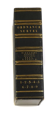
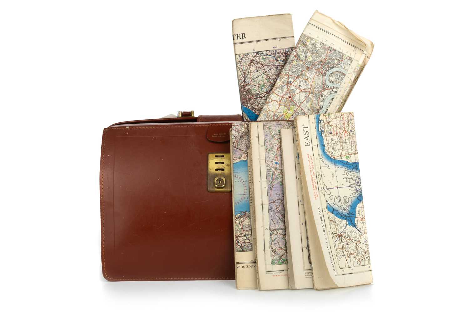
South East England. Ordnance Survey (publishers), on a scale of 1 inch to the mile, 1885, including East Sussex and West Sussex. Two untitled maps, Edward Stanford, 1885, engraved maps with contemporary outline colouring, sectionalised and laid on linen, on two sheets, each sheet approximately 920 x 1360 mm, marbled endpapers, together with Isle of Wight. Edward Stanford, 1885, engraved map with contemporary outline colouring, sectionalised and laid on linen, slight offsetting, 695 x 970 mm, marbled endpapers, with East Kent & West Kent. Two untitled maps, Edward Stanford, 1885, engraved maps with contemporary outline colouring, sectionalised and laid on linen, on two sheets, each sheet approximately 1045 mm, all contained within a contemporary morocco gilt book box, the box heavily worn and frayed, plus Environs of Tunbridge Wells. Ordnance Survey (publishers), on a scale of 25 inches to the mile, Edward Stanford, 1883, seven zincographic maps, coloured in outline, sectionalised and laid on linen, each sheet approximately 690 x 1000 mm, marbled endpapers, all contained within a contemporary morocco gilt book box, the box heavily worn and frayed (the two book boxes are uniform), and Kent. Ordnance Survey (publishers) on a scale of 25 inches to the mile, Thomas Letts, circa 1870, seventeen zincographic maps, coloured in outline, sectionalised and laid on linen, each sheet approximately 680 x 1020 mm, contained in three red half morocco gilt book boxes with marbled sidings and edges, each with 'hook & eye' clasps, one box with the upper board broken with loss (Quantity: 5)
South East England. Ordnance Survey (publishers), on a scale of 1 inch to the mile, 1885, including East Sussex and West Sussex. Two untitled maps, Edward Stanford, 1885, engraved maps with contemporary outline colouring, sectionalised and laid on linen, on two sheets, each sheet approximately 920 x 1360 mm, marbled endpapers, together with Isle of Wight. Edward Stanford, 1885, engraved map with contemporary outline colouring, sectionalised and laid on linen, slight offsetting, 695 x 970 mm, marbled endpapers, with East Kent & West Kent. Two untitled maps, Edward Stanford, 1885, engraved maps with contemporary outline colouring, sectionalised and laid on linen, on two sheets, each sheet approximately 1045 mm, all contained within a contemporary morocco gilt book box, the box heavily worn and frayed, plus Environs of Tunbridge Wells. Ordnance Survey (publishers), on a scale of 25 inches to the mile, Edward Stanford, 1883, seven zincographic maps, coloured in outline, sectionalised and laid on linen, each sheet approximately 690 x 1000 mm, marbled endpapers, all contained within a contemporary morocco gilt book box, the box heavily worn and frayed (the two book boxes are uniform), and Kent. Ordnance Survey (publishers) on a scale of 25 inches to the mile, Thomas Letts, circa 1870, seventeen zincographic maps, coloured in outline, sectionalised and laid on linen, each sheet approximately 680 x 1020 mm, contained in three red half morocco gilt book boxes with marbled sidings and edges, each with 'hook & eye' clasps, one box with the upper board broken with loss (Quantity: 5)


Testen Sie LotSearch und seine Premium-Features 7 Tage - ohne Kosten!
Lassen Sie sich automatisch über neue Objekte in kommenden Auktionen benachrichtigen.
Suchauftrag anlegen