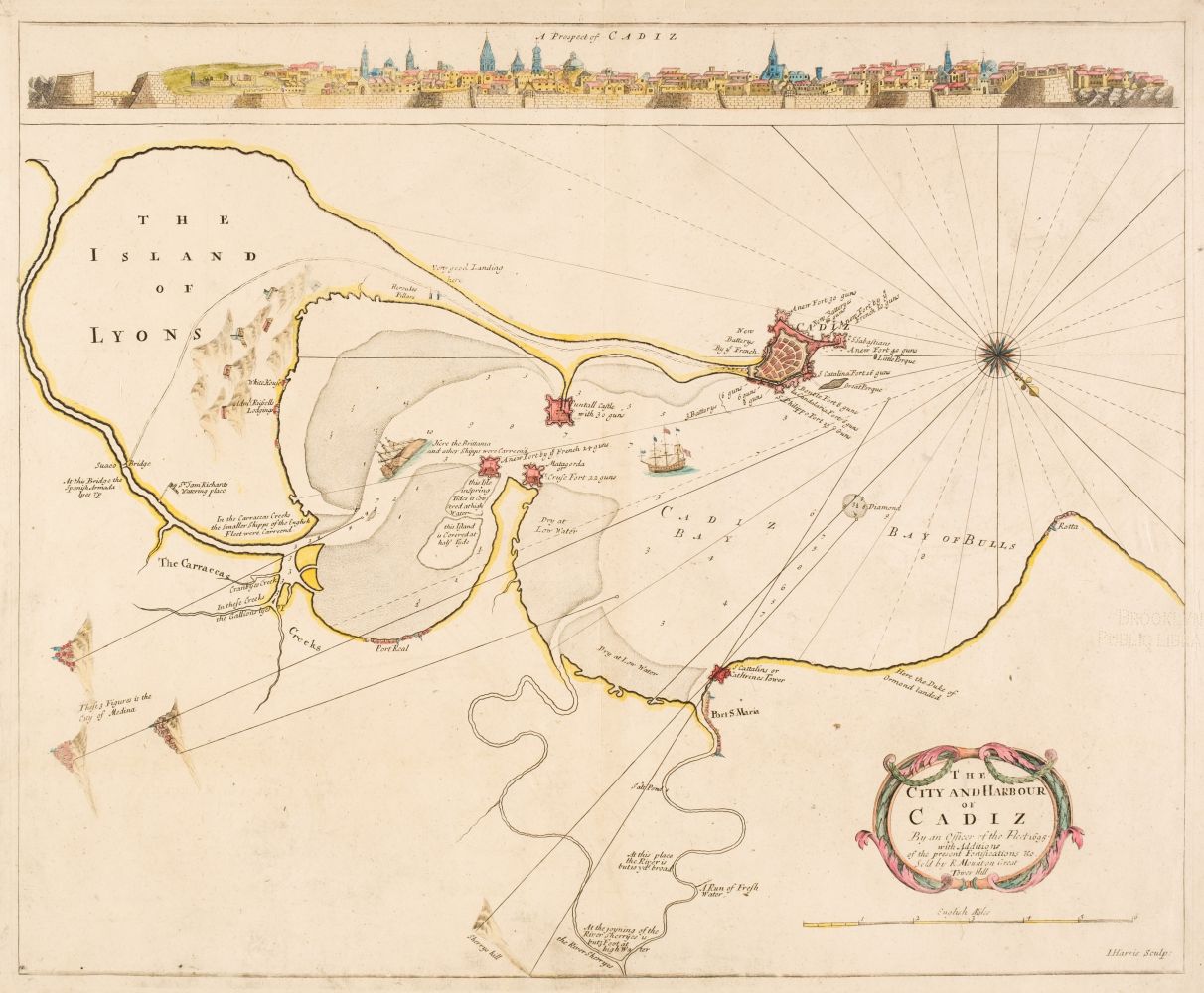
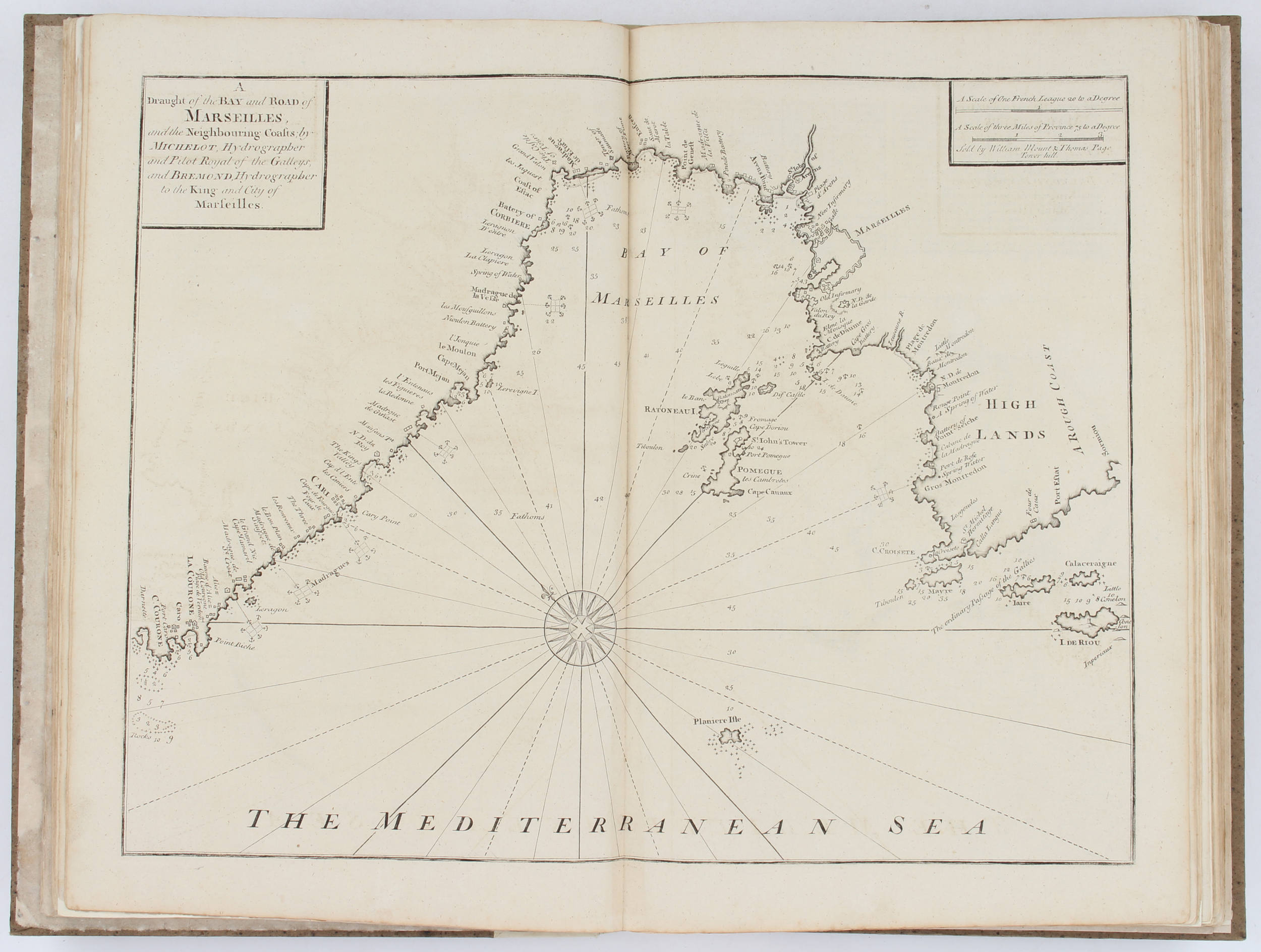
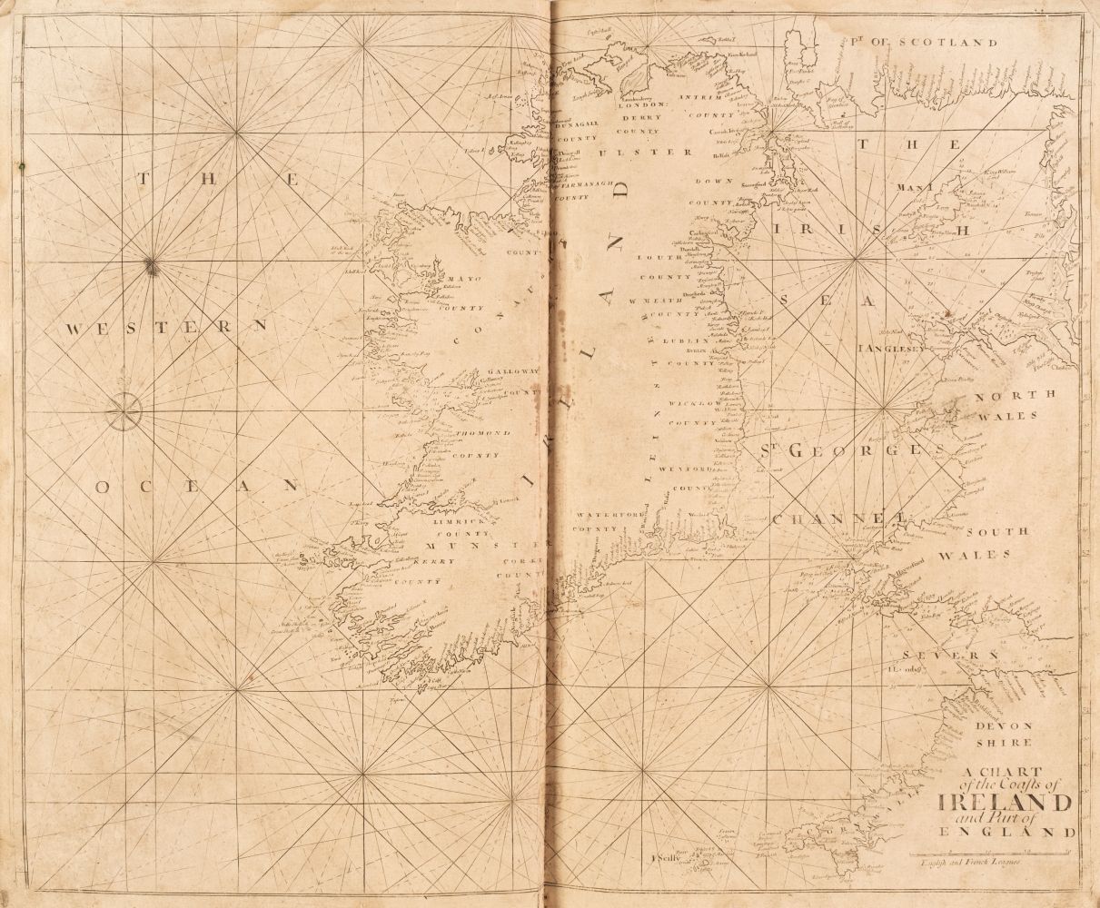
Sea Charts. Mount (W. & I. and Page T. & T.), Six charts of Ireland and the North Sea, A New and Correct Chart of the Harbour of Cork..., A Correct Chart of the Sea Coasts of England, Flanders and Holland..., A Chart of the Sea coasts of Ireland from Dublin to London-Derry, The South-West Coast of Ireland from Dungarvan to the River Shannon, A Chart of the Bay of Galloway and River Shannon [and] A Chart of the North-West Coast of Ireland from Lough Swilly to Slyne Head, circa 1780, together six hand-coloured engraved charts, slight creasing and dust soiling, each approximately 440 x 525 mm
Sea Charts. Mount (W. & I. and Page T. & T.), Six charts of Ireland and the North Sea, A New and Correct Chart of the Harbour of Cork..., A Correct Chart of the Sea Coasts of England, Flanders and Holland..., A Chart of the Sea coasts of Ireland from Dublin to London-Derry, The South-West Coast of Ireland from Dungarvan to the River Shannon, A Chart of the Bay of Galloway and River Shannon [and] A Chart of the North-West Coast of Ireland from Lough Swilly to Slyne Head, circa 1780, together six hand-coloured engraved charts, slight creasing and dust soiling, each approximately 440 x 525 mm


.jpg)
.jpg)
.jpg)
.jpg)


.jpg?w=400?width=1600&quality=70)
Testen Sie LotSearch und seine Premium-Features 7 Tage - ohne Kosten!
Lassen Sie sich automatisch über neue Objekte in kommenden Auktionen benachrichtigen.
Suchauftrag anlegen