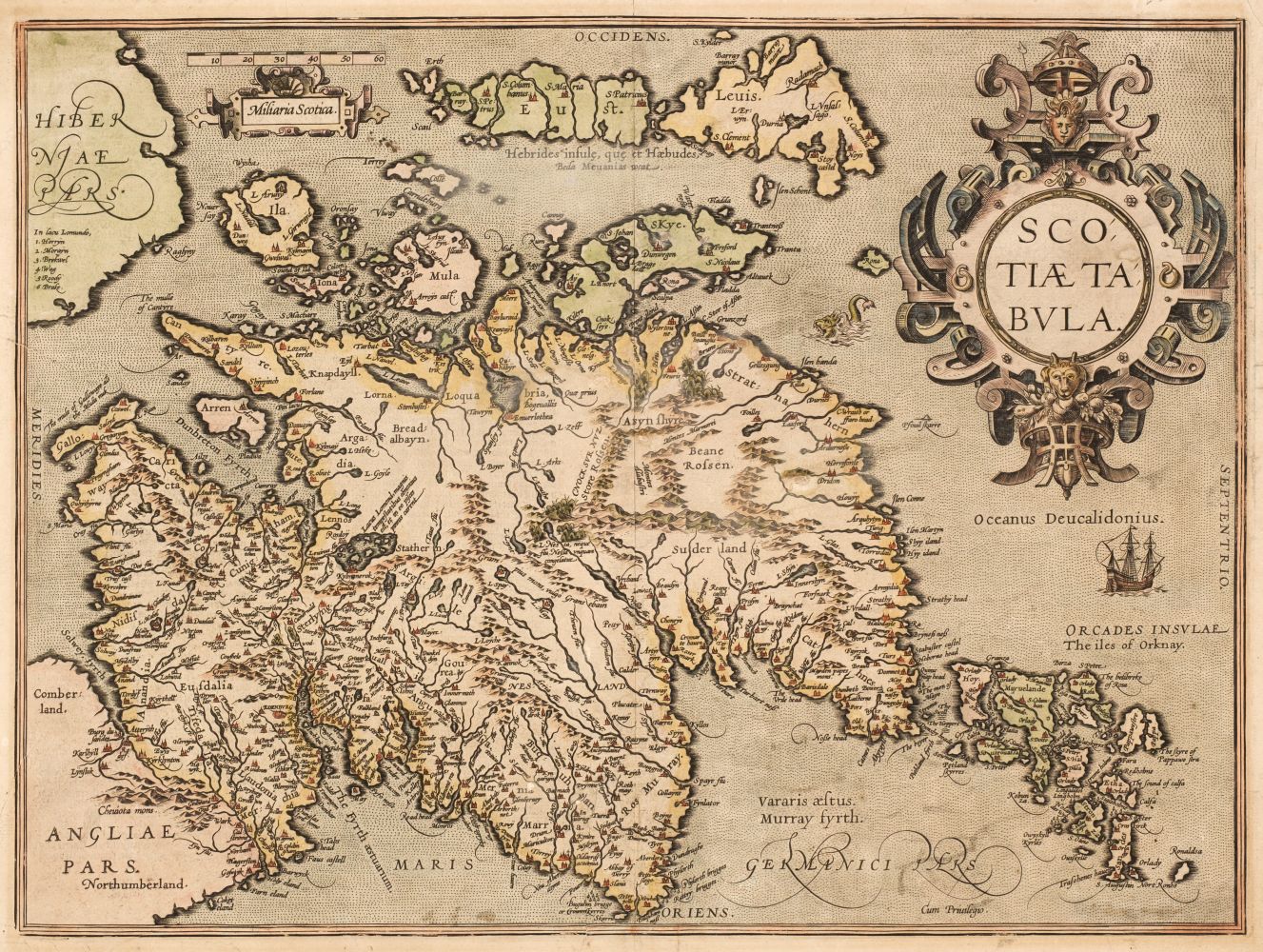
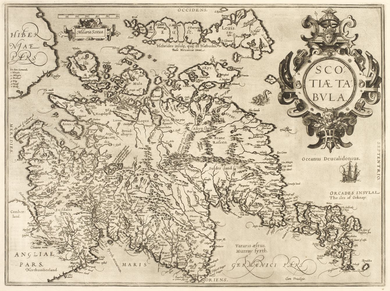
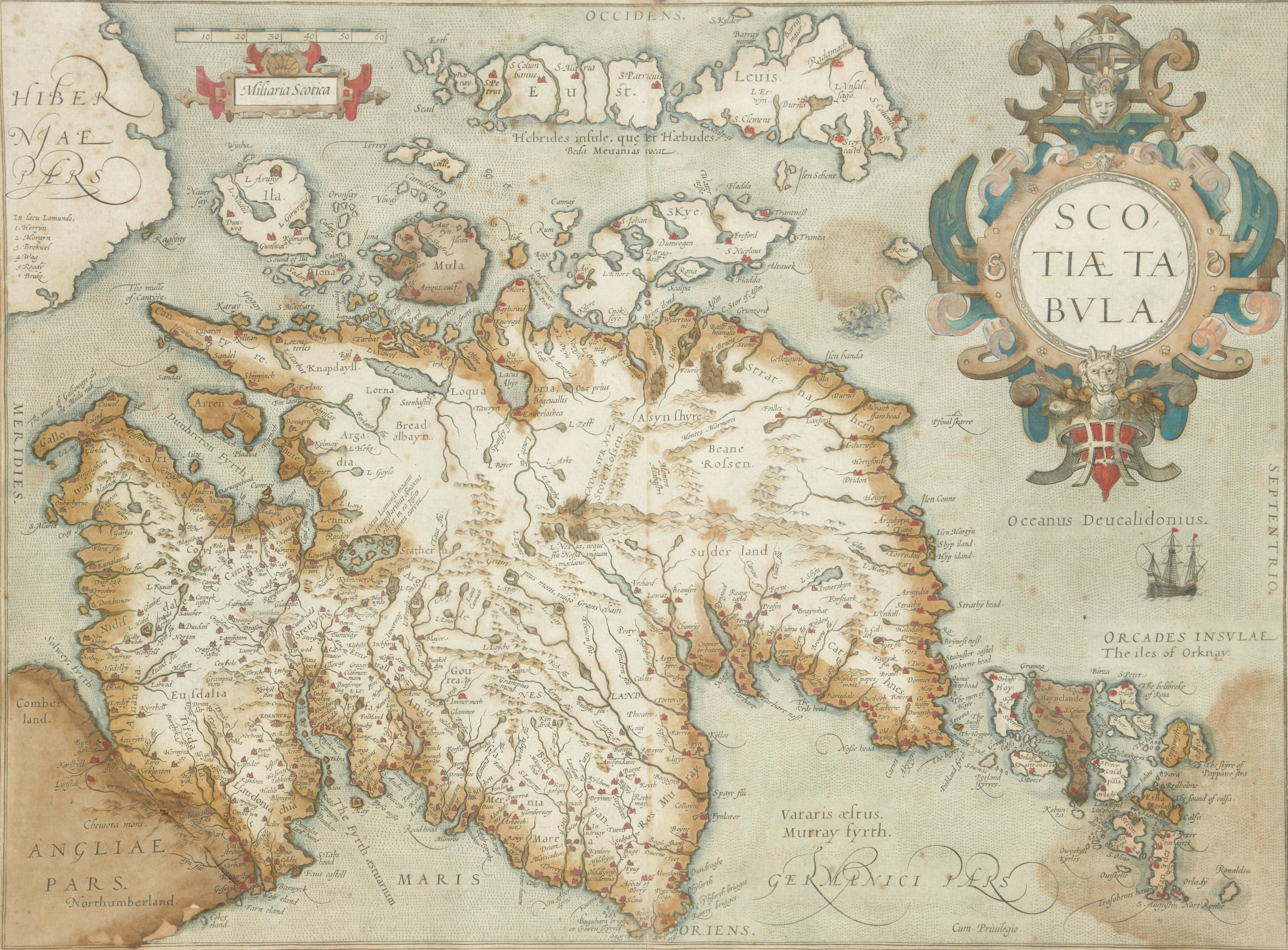
Scotland.- Ortelius (Abraham) Scotiae Tabula, map of Scotland, oriented with north to the right, with large strap-work title cartouche in the upper right corner, sea monster and ship, engraving on laid paper with armorial watermark, with fine early hand-colouring, platemark 352 x 474 mm. (13 7/8 x 18 5/8 in), sheet 445 x 540 mm. (17 1/2 x 21 1/4 in), Latin text verso, central vertical fold, minor handling creases, light surface dirt, unframed, [Antwerp, 1603]. Literature: VdB 18.3 ⁂ One of the earliest maps to show Scotland separately.
Scotland.- Ortelius (Abraham) Scotiae Tabula, map of Scotland, oriented with north to the right, with large strap-work title cartouche in the upper right corner, sea monster and ship, engraving on laid paper with armorial watermark, with fine early hand-colouring, platemark 352 x 474 mm. (13 7/8 x 18 5/8 in), sheet 445 x 540 mm. (17 1/2 x 21 1/4 in), Latin text verso, central vertical fold, minor handling creases, light surface dirt, unframed, [Antwerp, 1603]. Literature: VdB 18.3 ⁂ One of the earliest maps to show Scotland separately.


Testen Sie LotSearch und seine Premium-Features 7 Tage - ohne Kosten!
Lassen Sie sich automatisch über neue Objekte in kommenden Auktionen benachrichtigen.
Suchauftrag anlegen