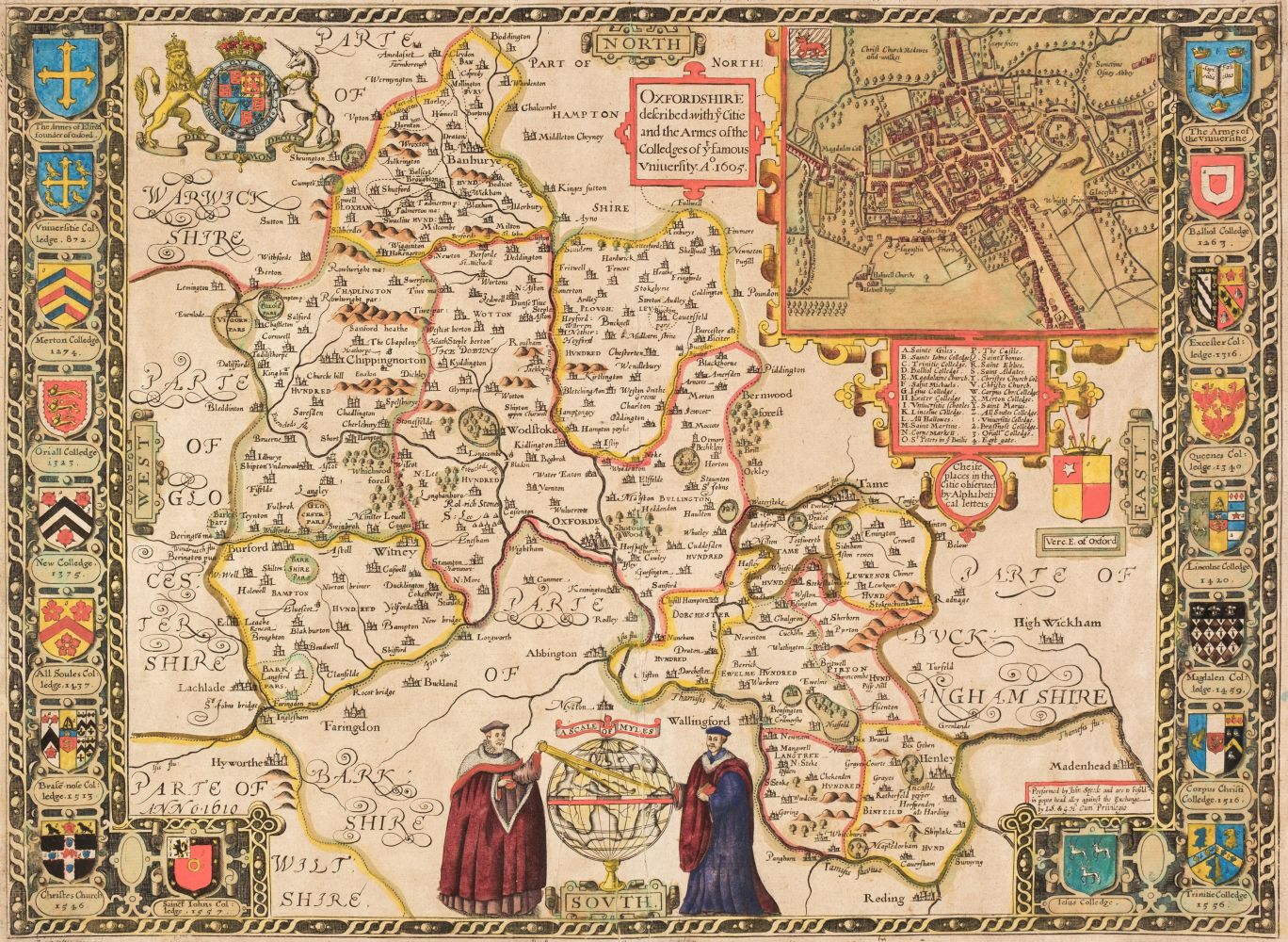
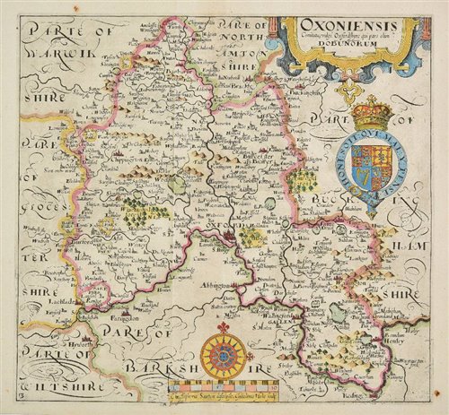
SAXTON (CHRISTOPHER) Oxoniensis, double-page engraved map engraved by William Hole hand-coloured in outline, some spotting, 270 x 285mm., [c.1610]; and a Blome map of Lancashire (2)
SAXTON (CHRISTOPHER) Oxoniensis, double-page engraved map engraved by William Hole hand-coloured in outline, some spotting, 270 x 285mm., [c.1610]; and a Blome map of Lancashire (2)





Try LotSearch and its premium features for 7 days - without any costs!
Be notified automatically about new items in upcoming auctions.
Create an alert