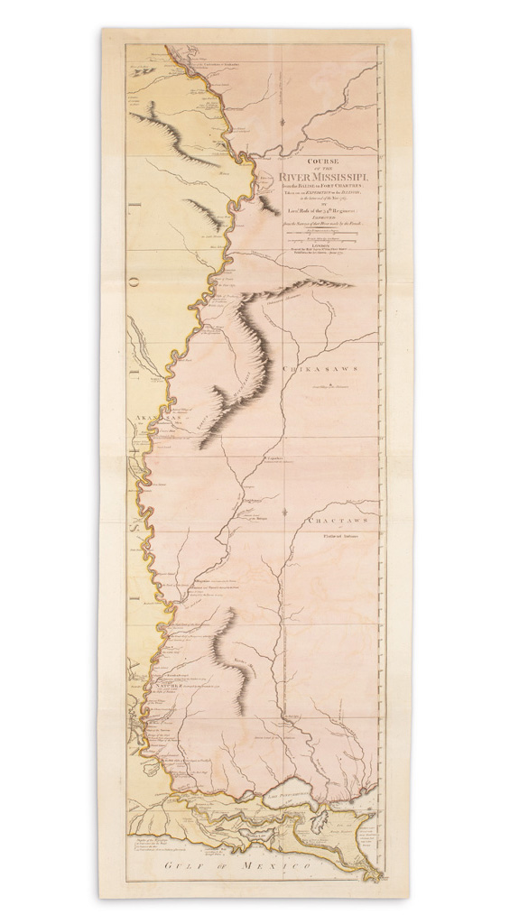
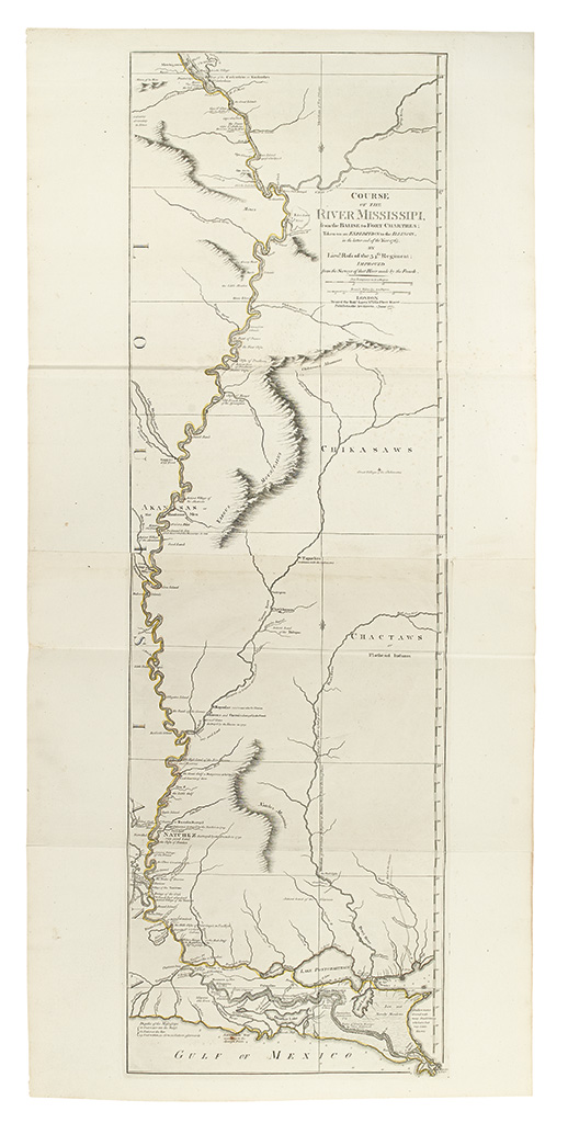
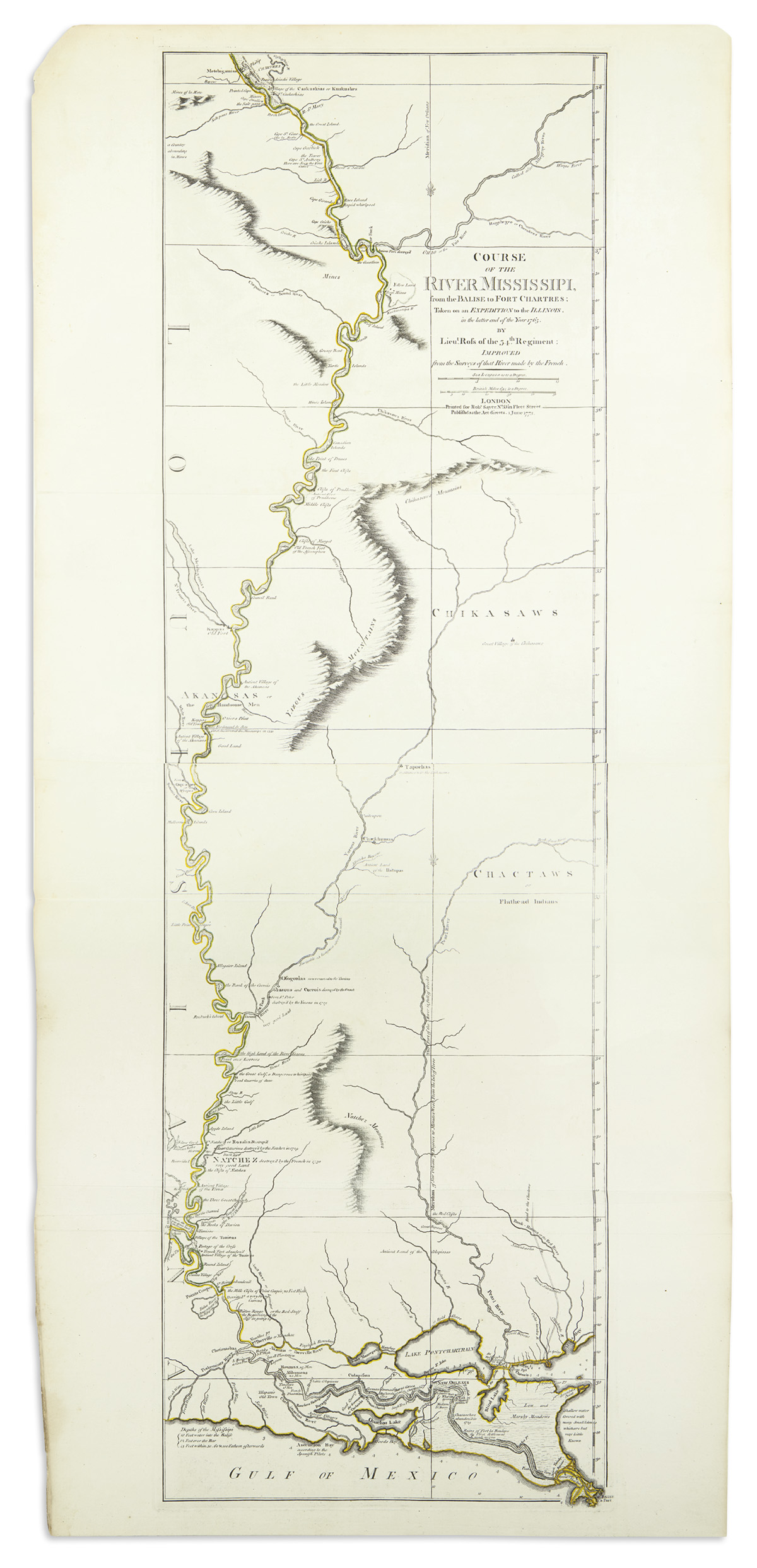
ROSS, John. Course of the River Mississipi from the Balise to Fort Chartres, taken on an expedition to the Illinois in the later end of the year 1765.. improved from surveys of that river made by the French . London: Robert Sayer 1 June 1775. Engraved map of the Mississippi river on two sheets joined, overall 530 x 1140mm (sheet size). (Lower margin slightly stained and repaired, just affecting plate mark.) An attractive map of the central and lower course of the Mississippi, by Lieutenant Ross of the 34th Regiment, showing the various settlements, forts and villages along the river with notes on historical events relating to various Indian wars. This example is in the second state. Stevens and Tree, MCS 39:31b
ROSS, John. Course of the River Mississipi from the Balise to Fort Chartres, taken on an expedition to the Illinois in the later end of the year 1765.. improved from surveys of that river made by the French . London: Robert Sayer 1 June 1775. Engraved map of the Mississippi river on two sheets joined, overall 530 x 1140mm (sheet size). (Lower margin slightly stained and repaired, just affecting plate mark.) An attractive map of the central and lower course of the Mississippi, by Lieutenant Ross of the 34th Regiment, showing the various settlements, forts and villages along the river with notes on historical events relating to various Indian wars. This example is in the second state. Stevens and Tree, MCS 39:31b


.jpg)


Testen Sie LotSearch und seine Premium-Features 7 Tage - ohne Kosten!
Lassen Sie sich automatisch über neue Objekte in kommenden Auktionen benachrichtigen.
Suchauftrag anlegen