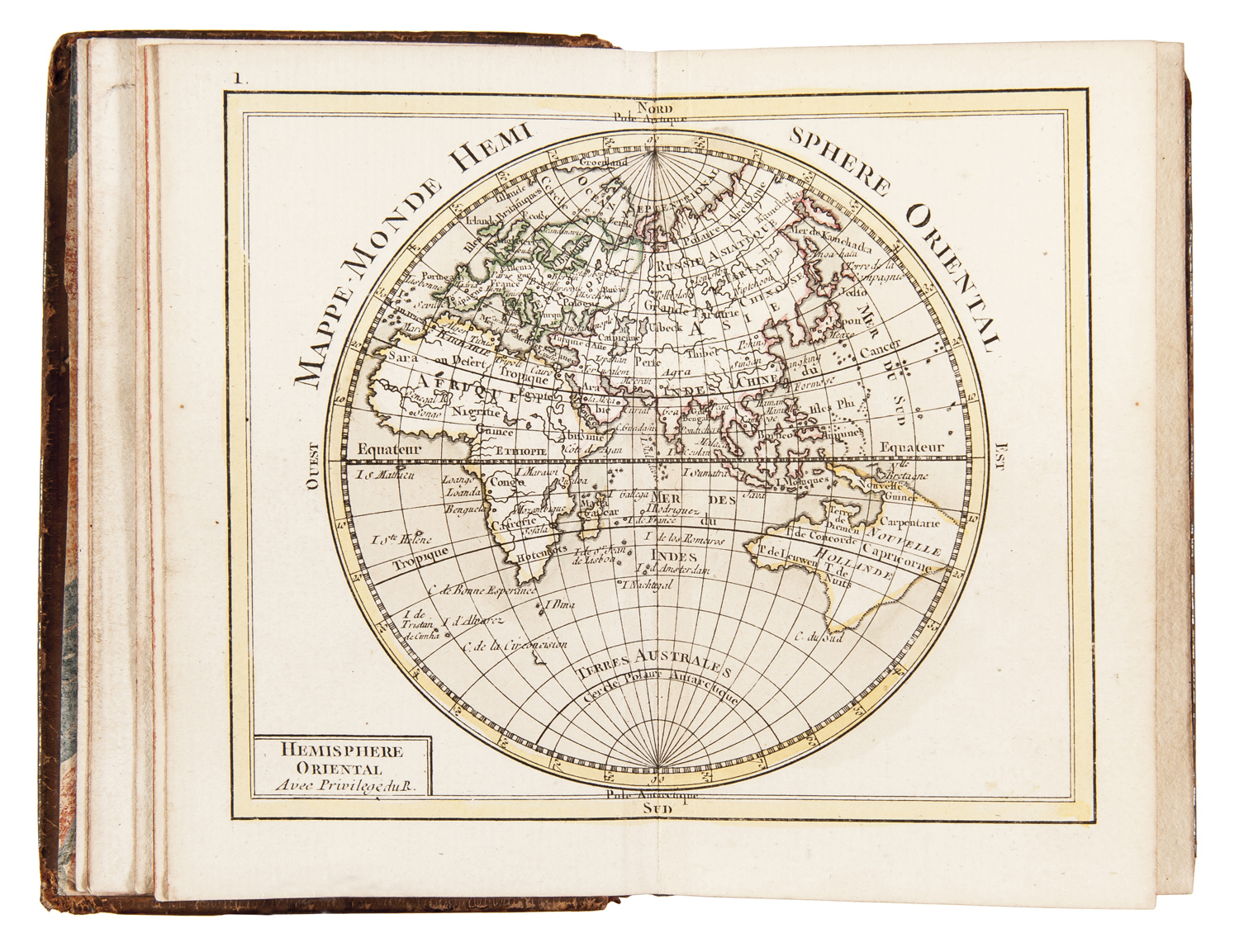
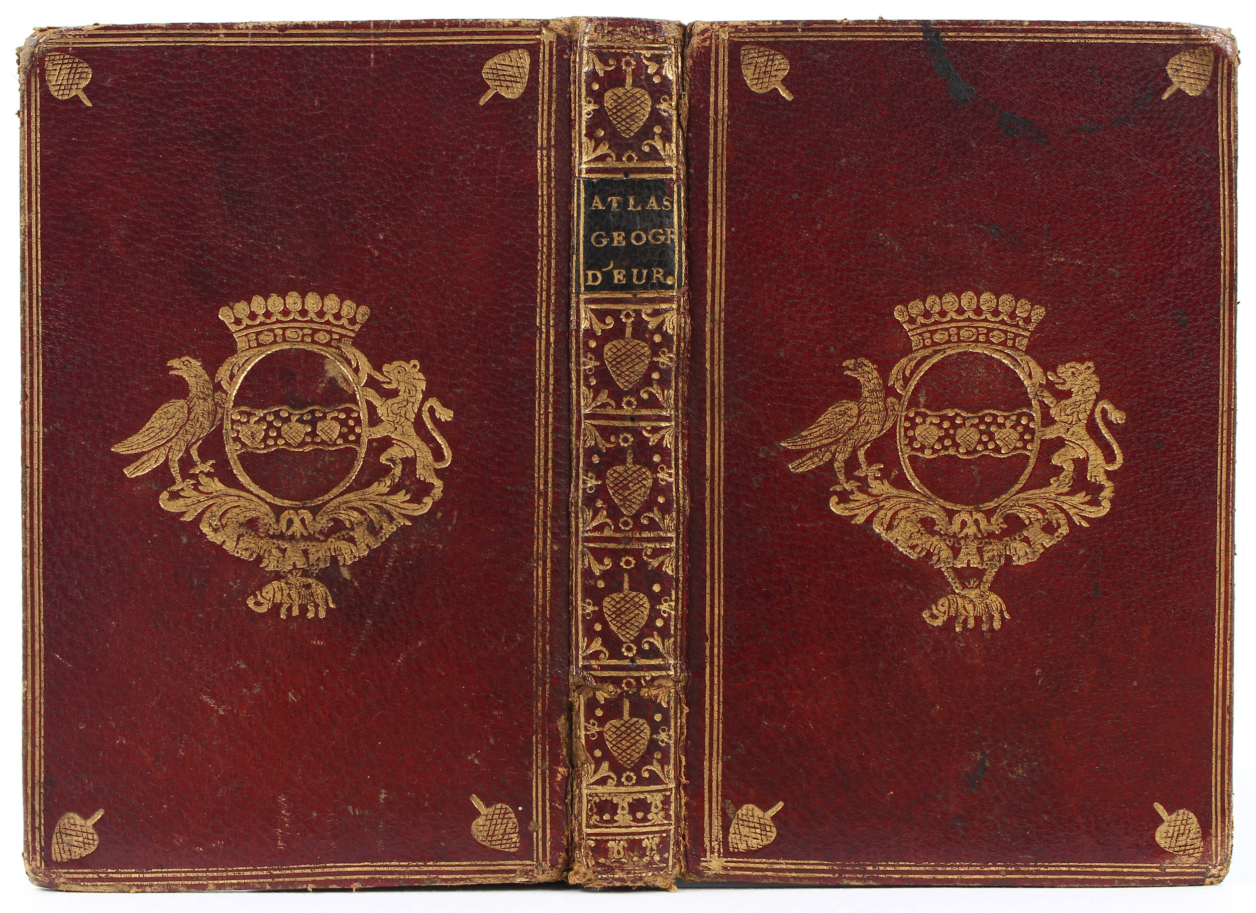
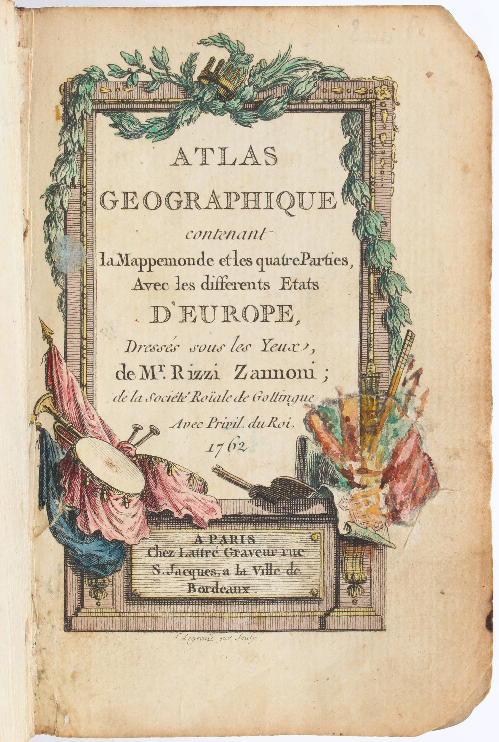
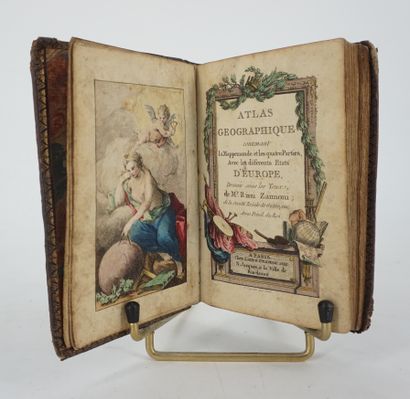
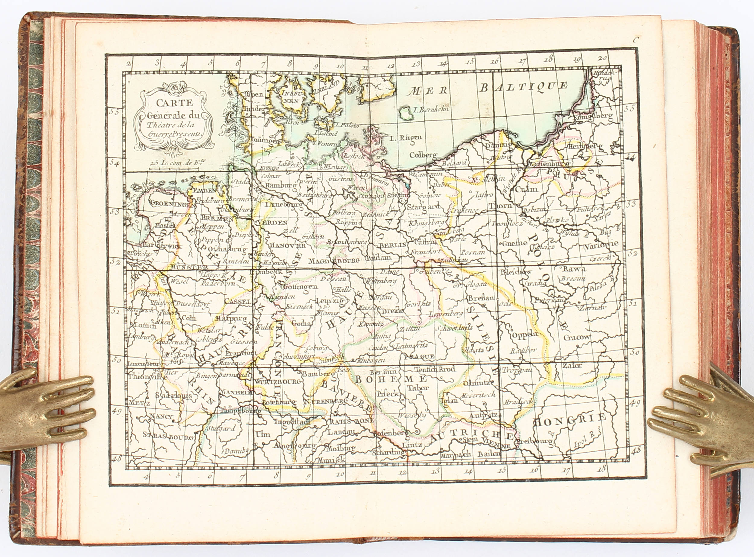
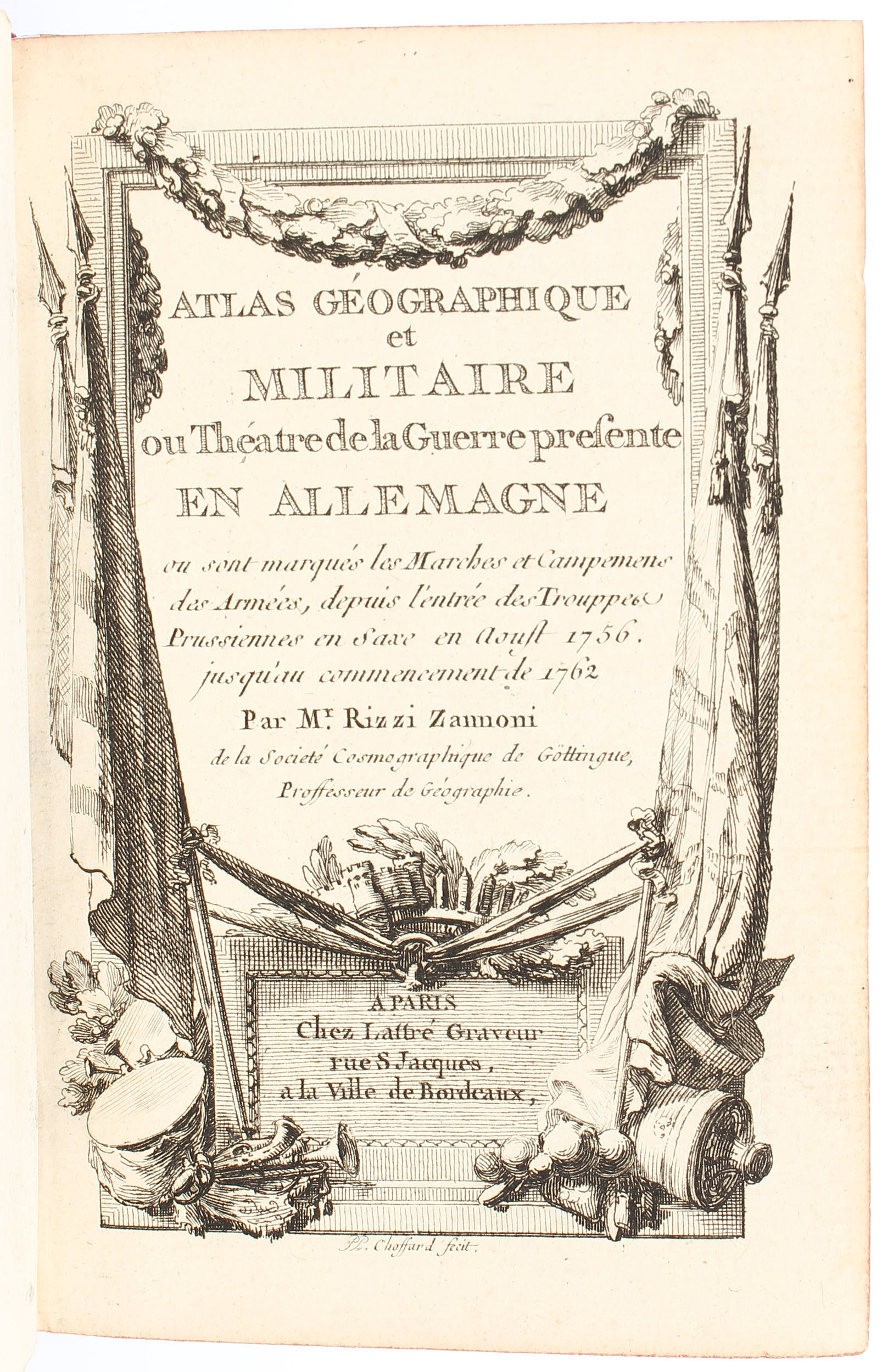
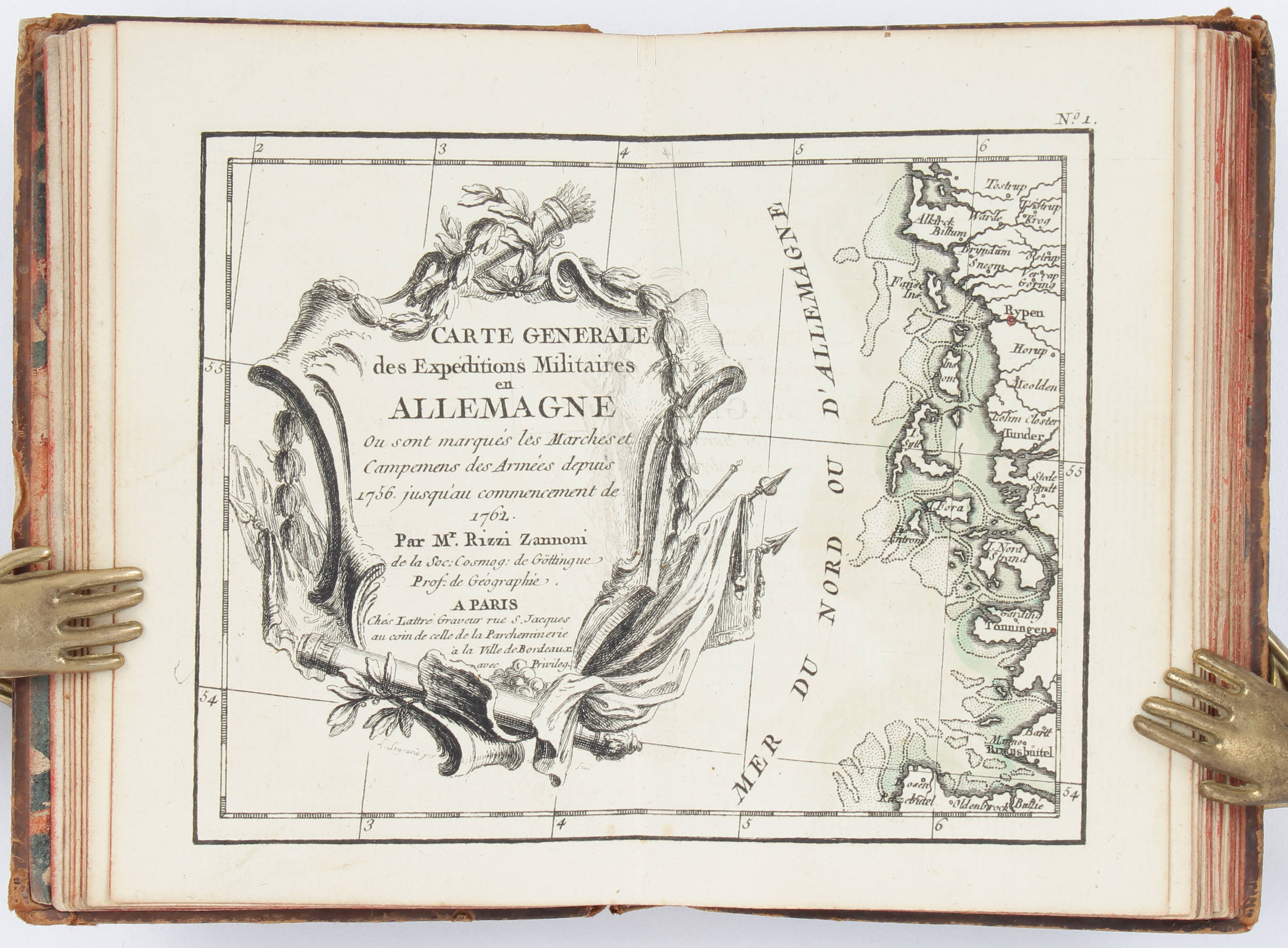
Rizzi-Zannoni, G. A. Atlas géographique contenant la mappemonde et les quatre parties, avec les différentes etats d'Europe. Paris, Lattré, 1762. 12mo (12,5:8,5 cm ). Mit gest. Front. , gest. Titel von L. Legrand, 2 gest. Doppelbll. (Catalogue des cartes und Avertissement) sowie 26 doppelblattgr. grenzkol. Kupferkarten. Ldr. d. Zt. mit Vergold. und Goldschnitt, etwas berieben, auf dem Vorderdeckel Tintenflecken. ( ) Shirley T.RIZ-1a (ohne Index); vgl. Pagliani 44 (spätere Ausgabe mit 1 Taf. u. 30 Ktn. ) und Phillips 633 & 3507 (andere Ausgaben mit 22 Ktn. auf 60 Bll. ). - Frühe Ausgabe des hübschen Taschenatlas, mit 26 numerierten Karten vollständig. Enthält Weltkarte auf 2 Bll. (die öst. Hemisphäre mit Einzeichnung Australiens, das noch mit Neu-Guinea zusammenhängt), 5 Erdteilkarten ( dav. 2 Amerika, Nordamerika noch ohne Alaska und das nördl. Kanada westlich der Hudson Bay) und 19 europäische Länder- und Gebietskarten, darunter 7 deutsche. - Kte. 17 verso kl. Zeichnung in Tinte, letzte Kte. mit kl. hinterlegtem Bugeinriß und winzigem Eckausriß. Vorsätze und Front. verso mit hs. Besitzverm. von 1845. Early edition of this miniature atlas with engr. front. , engr. title, 2 engr. two-page leaves (index & avertissement), and 26 double-page maps col. in outline. - Map no. 17 ink drawing verso, small repaired tear to centerfold and tiny corner tear to last map. Ownership inscriptions to tail pieces and front. verso. Contemp. calf gilt, gilt edges, somewhat rubbed, some ink stains to front cover.
Rizzi-Zannoni, G. A. Atlas géographique contenant la mappemonde et les quatre parties, avec les différentes etats d'Europe. Paris, Lattré, 1762. 12mo (12,5:8,5 cm ). Mit gest. Front. , gest. Titel von L. Legrand, 2 gest. Doppelbll. (Catalogue des cartes und Avertissement) sowie 26 doppelblattgr. grenzkol. Kupferkarten. Ldr. d. Zt. mit Vergold. und Goldschnitt, etwas berieben, auf dem Vorderdeckel Tintenflecken. ( ) Shirley T.RIZ-1a (ohne Index); vgl. Pagliani 44 (spätere Ausgabe mit 1 Taf. u. 30 Ktn. ) und Phillips 633 & 3507 (andere Ausgaben mit 22 Ktn. auf 60 Bll. ). - Frühe Ausgabe des hübschen Taschenatlas, mit 26 numerierten Karten vollständig. Enthält Weltkarte auf 2 Bll. (die öst. Hemisphäre mit Einzeichnung Australiens, das noch mit Neu-Guinea zusammenhängt), 5 Erdteilkarten ( dav. 2 Amerika, Nordamerika noch ohne Alaska und das nördl. Kanada westlich der Hudson Bay) und 19 europäische Länder- und Gebietskarten, darunter 7 deutsche. - Kte. 17 verso kl. Zeichnung in Tinte, letzte Kte. mit kl. hinterlegtem Bugeinriß und winzigem Eckausriß. Vorsätze und Front. verso mit hs. Besitzverm. von 1845. Early edition of this miniature atlas with engr. front. , engr. title, 2 engr. two-page leaves (index & avertissement), and 26 double-page maps col. in outline. - Map no. 17 ink drawing verso, small repaired tear to centerfold and tiny corner tear to last map. Ownership inscriptions to tail pieces and front. verso. Contemp. calf gilt, gilt edges, somewhat rubbed, some ink stains to front cover.




Try LotSearch and its premium features for 7 days - without any costs!
Be notified automatically about new items in upcoming auctions.
Create an alert