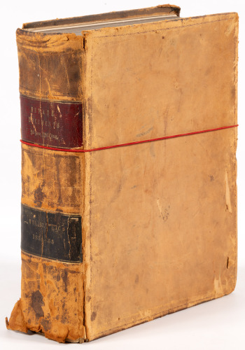
Title: Reports of Explorations and Surveys, to Ascertain the Most Practicable and Economical Route for a Railroad from the Mississippi River to the Pacific Ocean. Made Under the Direction of the Secretary of War, in 1853-5....Volume XII, Book I Author: ** Place: Washington Publisher: Thomas H. Ford Date: 1860 Description: Illustrated with 69 color lithograph plates, 1 folding; 3 large folding maps in back. 11½x8¾, period quarter calf and marbled boards, morocco spine label. The heavily illustrated first part of the final volume of the Pacific Railroad Reports, covering the explorations for the northern route under the command of Isaac Ingalls Stevens. The excellent series of lithographs reveals in color for the first time the lands explored by Lewis and Clark on their heroic trek across the continent a half-century earlier. Wagner-Camp 267. Lot Amendments Condition: Rear cover with maps detached (but present), front cover nearly detached, chips and dark spots to leather, edge wear and rubbing; contents clean and bright; internally very good; exterior needs repair. Item number: 147596
Title: Reports of Explorations and Surveys, to Ascertain the Most Practicable and Economical Route for a Railroad from the Mississippi River to the Pacific Ocean. Made Under the Direction of the Secretary of War, in 1853-5....Volume XII, Book I Author: ** Place: Washington Publisher: Thomas H. Ford Date: 1860 Description: Illustrated with 69 color lithograph plates, 1 folding; 3 large folding maps in back. 11½x8¾, period quarter calf and marbled boards, morocco spine label. The heavily illustrated first part of the final volume of the Pacific Railroad Reports, covering the explorations for the northern route under the command of Isaac Ingalls Stevens. The excellent series of lithographs reveals in color for the first time the lands explored by Lewis and Clark on their heroic trek across the continent a half-century earlier. Wagner-Camp 267. Lot Amendments Condition: Rear cover with maps detached (but present), front cover nearly detached, chips and dark spots to leather, edge wear and rubbing; contents clean and bright; internally very good; exterior needs repair. Item number: 147596


Testen Sie LotSearch und seine Premium-Features 7 Tage - ohne Kosten!
Lassen Sie sich automatisch über neue Objekte in kommenden Auktionen benachrichtigen.
Suchauftrag anlegen