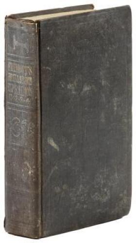
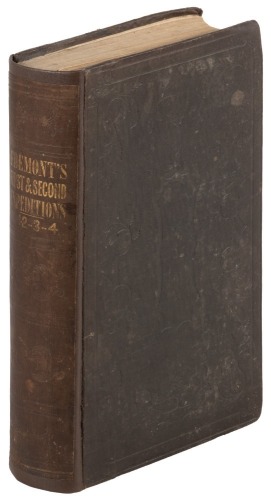
Title: Report of the Exploring Expedition to the Rocky Mountains in the Year 1842, and to Oregon and North California in the Years 1843-'44 Author: Frémont, J[ohn] C[harles]. Place: Washington Publisher: Blair & Rives Date: 1845 Description: 583 pp. Illustrated with 22 lithograph plates; 5 maps, 3 of them folding, including the very large one, which is loose. 8½x5½, period half sheep & marbled boards, morocco spine label. First Edition, House Issue. One of the most widely read, popular, and influential accounts of exploration in the American West ever published. The first portion of the work reprints Frémont's report of 1843, covering his 1842 expedition to the Rocky Mountains, the second portion records his expedition of 1843-1844, delineating the major sections of the route subsequently followed by thousands of Oregon immigrants. Wheat describes the large folding map at great length, and attaches great importance to it: "The year 1845, however, though otherwise somewhat cartographically barren, because of a single event is in fact one of the towering years in the story of Western Cartography. In that year John C. Frémont's report of his journey to Oregon and California in 1843-44 was published. This report and the Frémont (Preuss) map which accompanied it, changed the entire picture of the West, and made a lasting contribution to cartography...." Cowan p.223-4; Graff 1436; Howes F370; Wagner-Camp 115:2; Wheat Transmississippi Vol. II, pp.194-200, Map 497; Zamorano Eighty #39. Lot Amendments Condition: Normal rubbing and wear to covers, joints cracking; moderate aging to contents, endpapers foxed, 1 folding map with crease tear, large folding map with some nicks at folds but quite nice overall, else very good. Item number: 170934
Title: Report of the Exploring Expedition to the Rocky Mountains in the Year 1842, and to Oregon and North California in the Years 1843-'44 Author: Frémont, J[ohn] C[harles]. Place: Washington Publisher: Blair & Rives Date: 1845 Description: 583 pp. Illustrated with 22 lithograph plates; 5 maps, 3 of them folding, including the very large one, which is loose. 8½x5½, period half sheep & marbled boards, morocco spine label. First Edition, House Issue. One of the most widely read, popular, and influential accounts of exploration in the American West ever published. The first portion of the work reprints Frémont's report of 1843, covering his 1842 expedition to the Rocky Mountains, the second portion records his expedition of 1843-1844, delineating the major sections of the route subsequently followed by thousands of Oregon immigrants. Wheat describes the large folding map at great length, and attaches great importance to it: "The year 1845, however, though otherwise somewhat cartographically barren, because of a single event is in fact one of the towering years in the story of Western Cartography. In that year John C. Frémont's report of his journey to Oregon and California in 1843-44 was published. This report and the Frémont (Preuss) map which accompanied it, changed the entire picture of the West, and made a lasting contribution to cartography...." Cowan p.223-4; Graff 1436; Howes F370; Wagner-Camp 115:2; Wheat Transmississippi Vol. II, pp.194-200, Map 497; Zamorano Eighty #39. Lot Amendments Condition: Normal rubbing and wear to covers, joints cracking; moderate aging to contents, endpapers foxed, 1 folding map with crease tear, large folding map with some nicks at folds but quite nice overall, else very good. Item number: 170934

.jpg)


.jpg)


Try LotSearch and its premium features for 7 days - without any costs!
Be notified automatically about new items in upcoming auctions.
Create an alert