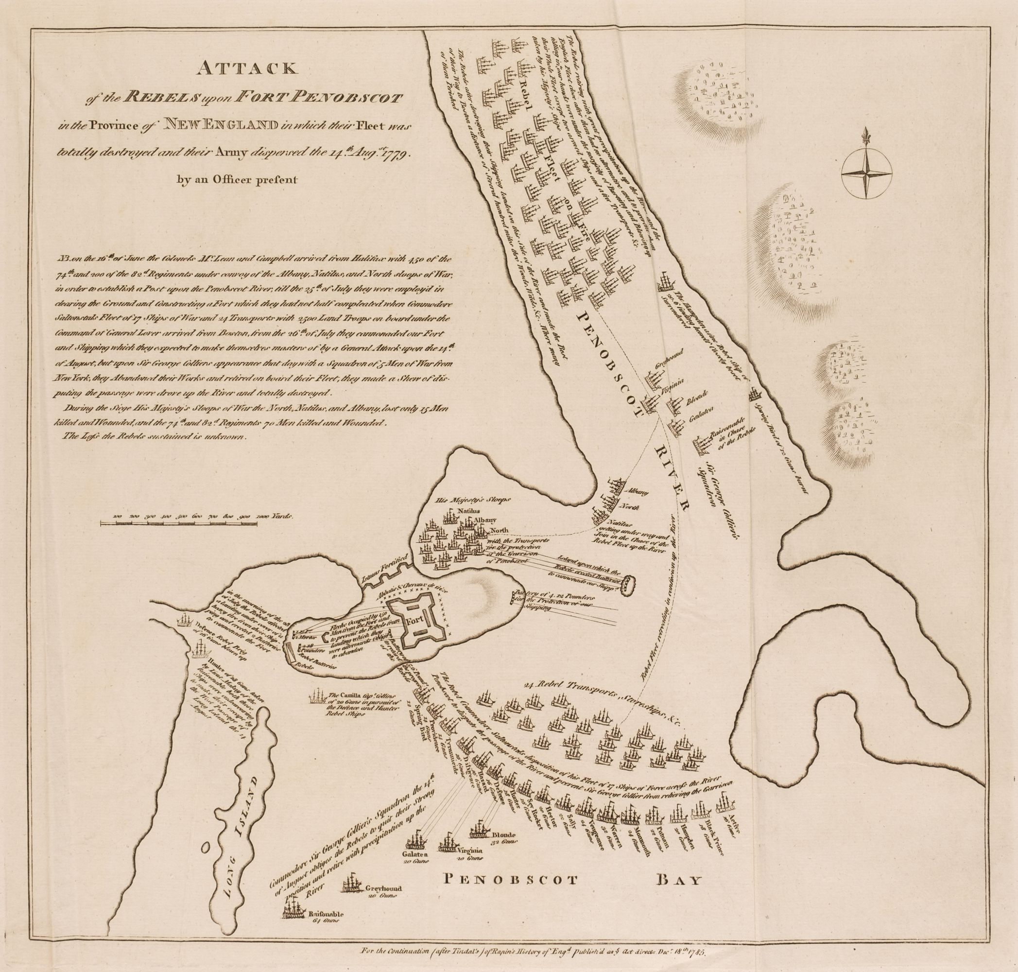
"Plan of the Attack of Camaret Bay, on the Coast of Bretagne" Copper Engraved Map Published 1745, London for "The History of England" by Rapin de Thoyras. Translated by Nicholas Tindal. Folds as issued. Paper Size: 20 x 15.5 inch (51 x 39cm) Very minor toning. Good condition.
"Plan of the Attack of Camaret Bay, on the Coast of Bretagne" Copper Engraved Map Published 1745, London for "The History of England" by Rapin de Thoyras. Translated by Nicholas Tindal. Folds as issued. Paper Size: 20 x 15.5 inch (51 x 39cm) Very minor toning. Good condition.


Testen Sie LotSearch und seine Premium-Features 7 Tage - ohne Kosten!
Lassen Sie sich automatisch über neue Objekte in kommenden Auktionen benachrichtigen.
Suchauftrag anlegen