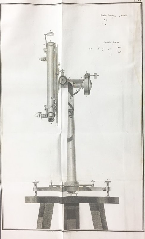
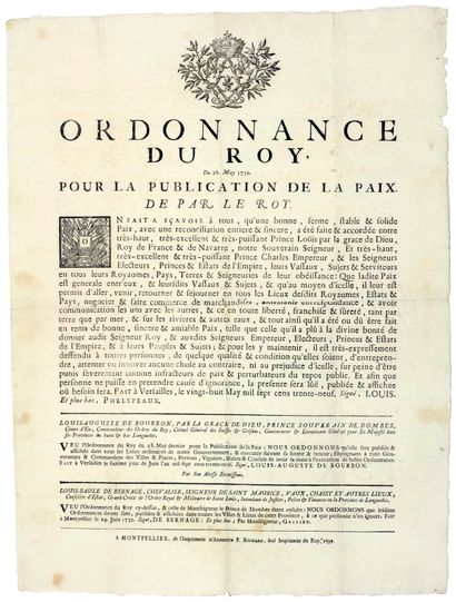
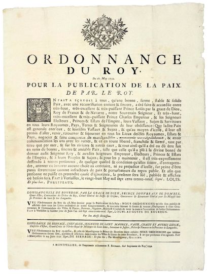
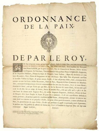
PUISSANT Louis. Traité de Géodesie, ou Exposition des Méthodes Astronomiques et Trigonométriques, appliquées soit à la mesure de la Terre, soit à la confection du canevas des Cartes et des Plans. [Si unisce/Follows:] Traitè de Topographie et de Nivellement. Paris, Courgier, [an XIV]-1805 e 1807. 2 vols. 4° di mm. 260 x 200, di pp. XXIV, 302, [2] of errata, [24] tables of geodesics and 10 wide copper plate out text at the end, depicting geodetic instruments; pp. XX, 331, [10] of numbering tables, and VI copper plates out text. Contemporary half calf binding, spine with ornaments and coloured labels for the Title.
First edition of these two works that together formed long texts basis for "Ingénieurs-Géographes" Dépot of général de la guerre, and schools for the implementation of the Napoleonic period. Louis Puissant [1769-1843], a professor of mathematics at the military school of Fontainebleau, lieutenant of the Army Corps of Engineers, professor of geodesy at the school for the application of the same body, the Secretary of the Steering Committee of Depôt de la Guerre, also presided over the commission the elaboration of the new map of France. As a teacher he exercised a very important role in the formation of a new class of engineers surveyors of expertise in France and in Europe, and perfected methods and measurement tools geodetic and topographical. On the importance of this figure see. especially Berthaut, La carte de la France, 1750-1898, I / passim. The first work "offers une collection complète des méthodes of observations et des calcules les plus exactes et les plus rigoureuses que les employés géomètres aient relativament à la mesure de la terre .... également applicables à la confection des cartes et des plans" , and is based on the careful application of studies of Legendre, Delambre and Laplace in astronomy geodetic operations, and also contains a detailed exposition of the science instruments then used and perfected by the same Puissant [the "Cercle répétiteur"]. The second work, dedicated to Prince Alexander of Russia, in the first part presents the fundamental theories of the great geodetic operations, and in the second part of the applications on the ground and graphics operations that lead to the formation of topographic maps. The Puissant poses so, in France and other countries of the Empire, the foundations of modern scientific cartography and astronomical measurements that developed in the decades since then in Europe. "There Celui east devenu the manuel des ingénieurs differens des services publics et des géographes, here y trouvent a Theory complète des que des Cartes projections on the chercherait vainement ailleurs" [Biogr. des Contemporaines, XVIII / p. 148]. We also remember in the 1802-4 Puissant stayed in Italy, before dedicating himself to tracking the location and maps of Elba Island, and then to Milan, to lay the foundations of the new map of Italy. Poggendorff, II / 542-3. Interesting large illus. copper representing the geodetic instruments then in use. Very nice specimen. Il lotto viene venduto provvisto di licenza d'esportazione/The lot is offered with a valid export licence.


Testen Sie LotSearch und seine Premium-Features 7 Tage - ohne Kosten!
Lassen Sie sich automatisch über neue Objekte in kommenden Auktionen benachrichtigen.
Suchauftrag anlegen