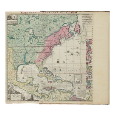
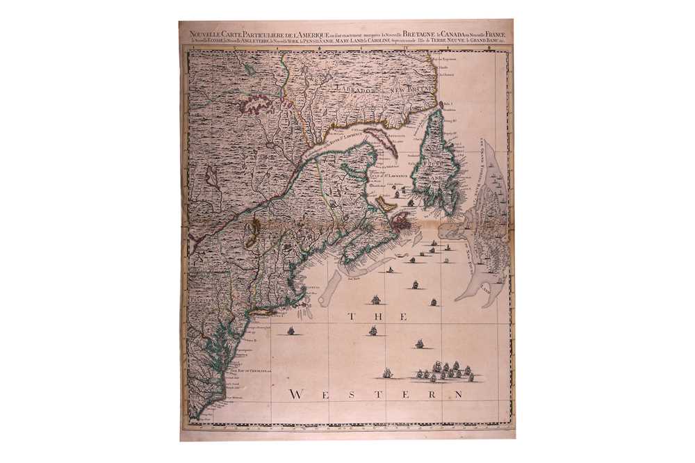
POPPLE, Henry. A Map of the British Empire in America with the French and Spanish Settlements adjacent thereto . London: 1733. 2° (520 x 395mm). Large engraved wall map of North America on 15 double-page and 5 single sheets, mounted on guards throughout and numbered on versos in brown ink in a contemporary hand, with index map hand-coloured in outline, the wall map including inset views of Niagra Falls, the city of Mexico, Quebec, New York, and 17 plans and maps of harbours, bays or islands. (Short tear to third sheet, margins lightly browned, one map detached). Contemporary calf-backed boards (rubbed). Upper cover with manuscript label titled, 'Popple's Grand Atlas of America embellish'd with Views of principal places on 20 sheets at 0=6 s=0 approv'd by the Lords Commissioners of Trade & Plantations', manuscript title laid down (rubbed). Provenance : Edward H. Nevinson, signed on front free endpaper. The first edition of Popple's important map of America. This map was the first large-scale printed map of America, drawn up under the direction of the Lord Commissioners of Trade and Plantations to help settle disputes between the European colonists. It includes a depiction of 'Sir Charles Wager's Engagement with the Fleet of Spanish Men of War and Galeons off of Cartagena ye 28 t h of May 1707, where the Spanish Admiral blew up, the rear Adm. l was taken, and the rest being 14 Sail made their Escape.' Tooley America p.316; Schwartz & Ehrenberg Mapping of America , p.151-2.
POPPLE, Henry. A Map of the British Empire in America with the French and Spanish Settlements adjacent thereto . London: 1733. 2° (520 x 395mm). Large engraved wall map of North America on 15 double-page and 5 single sheets, mounted on guards throughout and numbered on versos in brown ink in a contemporary hand, with index map hand-coloured in outline, the wall map including inset views of Niagra Falls, the city of Mexico, Quebec, New York, and 17 plans and maps of harbours, bays or islands. (Short tear to third sheet, margins lightly browned, one map detached). Contemporary calf-backed boards (rubbed). Upper cover with manuscript label titled, 'Popple's Grand Atlas of America embellish'd with Views of principal places on 20 sheets at 0=6 s=0 approv'd by the Lords Commissioners of Trade & Plantations', manuscript title laid down (rubbed). Provenance : Edward H. Nevinson, signed on front free endpaper. The first edition of Popple's important map of America. This map was the first large-scale printed map of America, drawn up under the direction of the Lord Commissioners of Trade and Plantations to help settle disputes between the European colonists. It includes a depiction of 'Sir Charles Wager's Engagement with the Fleet of Spanish Men of War and Galeons off of Cartagena ye 28 t h of May 1707, where the Spanish Admiral blew up, the rear Adm. l was taken, and the rest being 14 Sail made their Escape.' Tooley America p.316; Schwartz & Ehrenberg Mapping of America , p.151-2.


Testen Sie LotSearch und seine Premium-Features 7 Tage - ohne Kosten!
Lassen Sie sich automatisch über neue Objekte in kommenden Auktionen benachrichtigen.
Suchauftrag anlegen