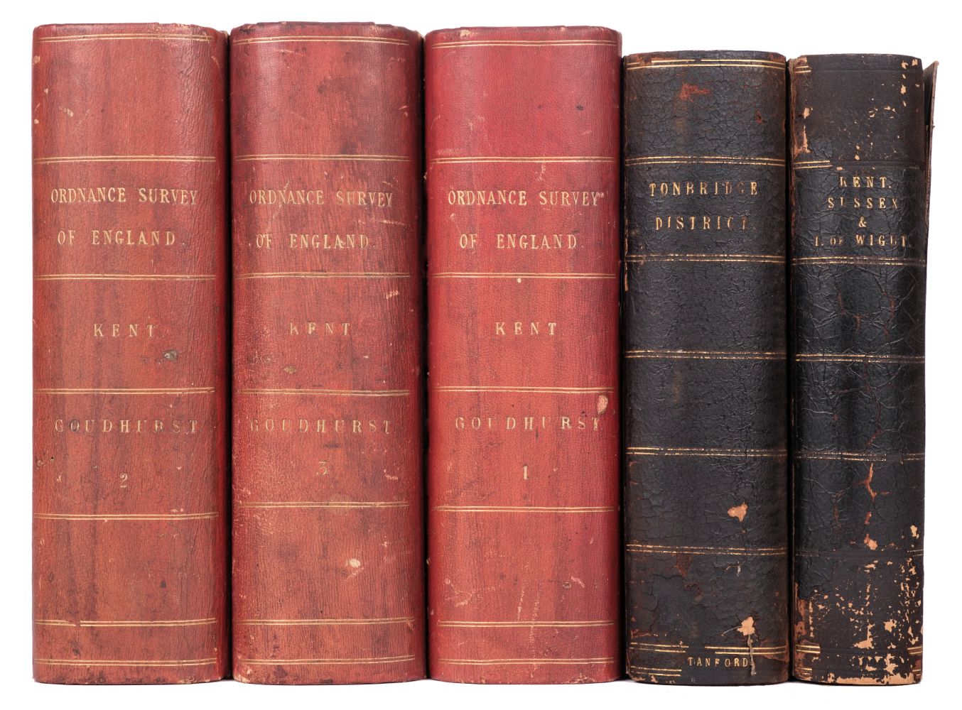
Property from the Library at Spetchley Park ORDNANCE SURVEY OF GREAT BRITAIN A collection of six volumes from the Ordnance Survey 'One-inch Old Series map of England and Wales' series. [London, early nineteenth-century] Volume 1, 10 maps (24-33); Volume 2, 10 maps (14-23); Volume 3, 9 maps (3-6, 8-12; Volume 4, 9 maps (36-42, 56, 58; map 39 and 40 on one sheet); Volume 6, 8 maps (64, 65, 69, 70, 83-86); Volume 7, 6 maps (34, 35, 43, 44, 54, 55),52 maps on 51 sheets (average, 580 x 890mm.), maps folding, hand-coloured in outline, diced and backed on linen, a few with small foldouts, number tab and small engraved preview mounted to verso of top edge, 6 index maps, including one general index (average, 220 x 290mm.), each volume housed in contemporary box, half russia, marbled boards, each with 2 volume numbers on red morocco labels, some maps browned, boxes rubbedCondition ReportCondition is described in the main body of the cataloguing, where appropriate. We are pleased to provide you with a general report of the condition of the property described above. Since we are not professional conservators or restorers, we urge you to consult with a restorer or conservator of your choice who will be better able to provide a detailed, professional report. Prospective buyers should inspect each lot to satisfy themselves as to condition and must understand that any statement made by Sotheby's is merely a subjective, qualified opinion. Prospective buyers should also refer to any Important Notices regarding this sale, which are printed in the Sale Catalogue.NOTWITHSTANDING THIS REPORT OR ANY DISCUSSIONS CONCERNING A LOT, ALL LOTS ARE OFFERED AND SOLD AS IS" IN ACCORDANCE WITH THE CONDITIONS OF BUSINESS PRINTED IN THE SALE CATALOGUE.
Property from the Library at Spetchley Park ORDNANCE SURVEY OF GREAT BRITAIN A collection of six volumes from the Ordnance Survey 'One-inch Old Series map of England and Wales' series. [London, early nineteenth-century] Volume 1, 10 maps (24-33); Volume 2, 10 maps (14-23); Volume 3, 9 maps (3-6, 8-12; Volume 4, 9 maps (36-42, 56, 58; map 39 and 40 on one sheet); Volume 6, 8 maps (64, 65, 69, 70, 83-86); Volume 7, 6 maps (34, 35, 43, 44, 54, 55),52 maps on 51 sheets (average, 580 x 890mm.), maps folding, hand-coloured in outline, diced and backed on linen, a few with small foldouts, number tab and small engraved preview mounted to verso of top edge, 6 index maps, including one general index (average, 220 x 290mm.), each volume housed in contemporary box, half russia, marbled boards, each with 2 volume numbers on red morocco labels, some maps browned, boxes rubbedCondition ReportCondition is described in the main body of the cataloguing, where appropriate. We are pleased to provide you with a general report of the condition of the property described above. Since we are not professional conservators or restorers, we urge you to consult with a restorer or conservator of your choice who will be better able to provide a detailed, professional report. Prospective buyers should inspect each lot to satisfy themselves as to condition and must understand that any statement made by Sotheby's is merely a subjective, qualified opinion. Prospective buyers should also refer to any Important Notices regarding this sale, which are printed in the Sale Catalogue.NOTWITHSTANDING THIS REPORT OR ANY DISCUSSIONS CONCERNING A LOT, ALL LOTS ARE OFFERED AND SOLD AS IS" IN ACCORDANCE WITH THE CONDITIONS OF BUSINESS PRINTED IN THE SALE CATALOGUE.





Try LotSearch and its premium features for 7 days - without any costs!
Be notified automatically about new items in upcoming auctions.
Create an alert