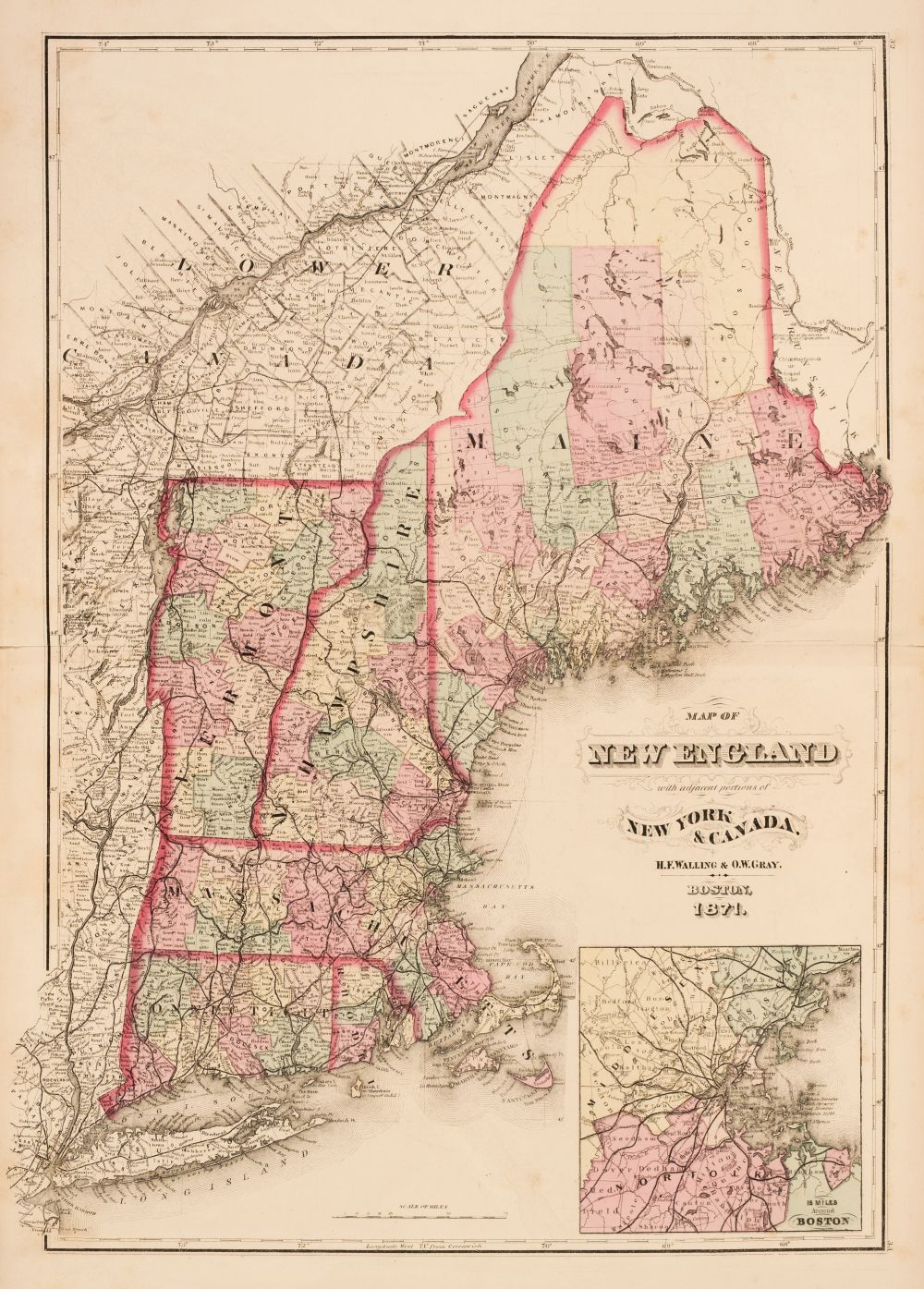
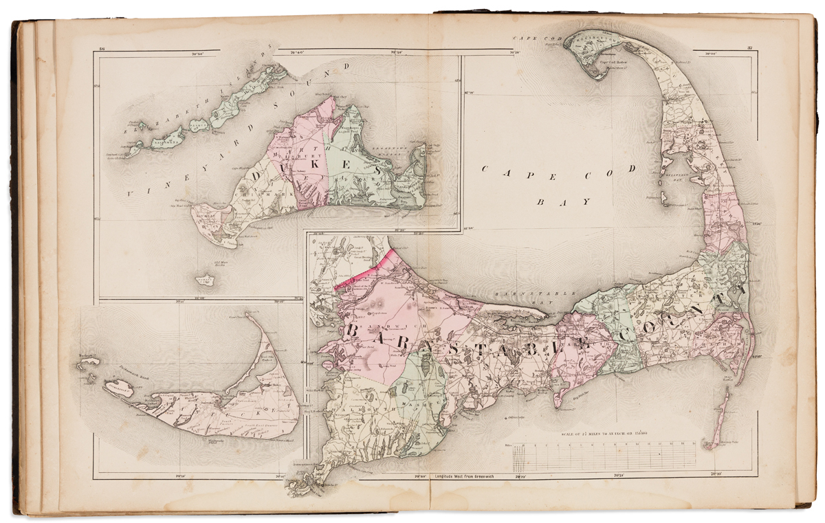
Title: Official Topographical Atlas of Massachusetts, from Astronomical, Trigonometrical and Various Local Surveys Author: Walling, H[enry] F. and O.W. Gray Place: Boston Publisher: Stedman, Brown & Lyon Date: 1871 Description: 31, 2-94, [17] pp. With 24 hand-colored lithographed maps, 12 of them double-page. 43.8x33.5 cm. (17¼x13¼"), original half morocco & cloth, front cover lettered in gilt. Detailed maps of Massachusetts cities and counties showing railroad lines, rivers, lakes, ponds, streets, prisons, hospitals, residences, businesses, schools, churches, cemeteries, parks, etc. There are also general maps of the United States; New England; and Massachusetts. Lot Amendments Condition: Some scuffing to spine and extremities; one map with some brown streaking; near fine overall, clean. Item number: 217373
Title: Official Topographical Atlas of Massachusetts, from Astronomical, Trigonometrical and Various Local Surveys Author: Walling, H[enry] F. and O.W. Gray Place: Boston Publisher: Stedman, Brown & Lyon Date: 1871 Description: 31, 2-94, [17] pp. With 24 hand-colored lithographed maps, 12 of them double-page. 43.8x33.5 cm. (17¼x13¼"), original half morocco & cloth, front cover lettered in gilt. Detailed maps of Massachusetts cities and counties showing railroad lines, rivers, lakes, ponds, streets, prisons, hospitals, residences, businesses, schools, churches, cemeteries, parks, etc. There are also general maps of the United States; New England; and Massachusetts. Lot Amendments Condition: Some scuffing to spine and extremities; one map with some brown streaking; near fine overall, clean. Item number: 217373


.jpg)


Testen Sie LotSearch und seine Premium-Features 7 Tage - ohne Kosten!
Lassen Sie sich automatisch über neue Objekte in kommenden Auktionen benachrichtigen.
Suchauftrag anlegen