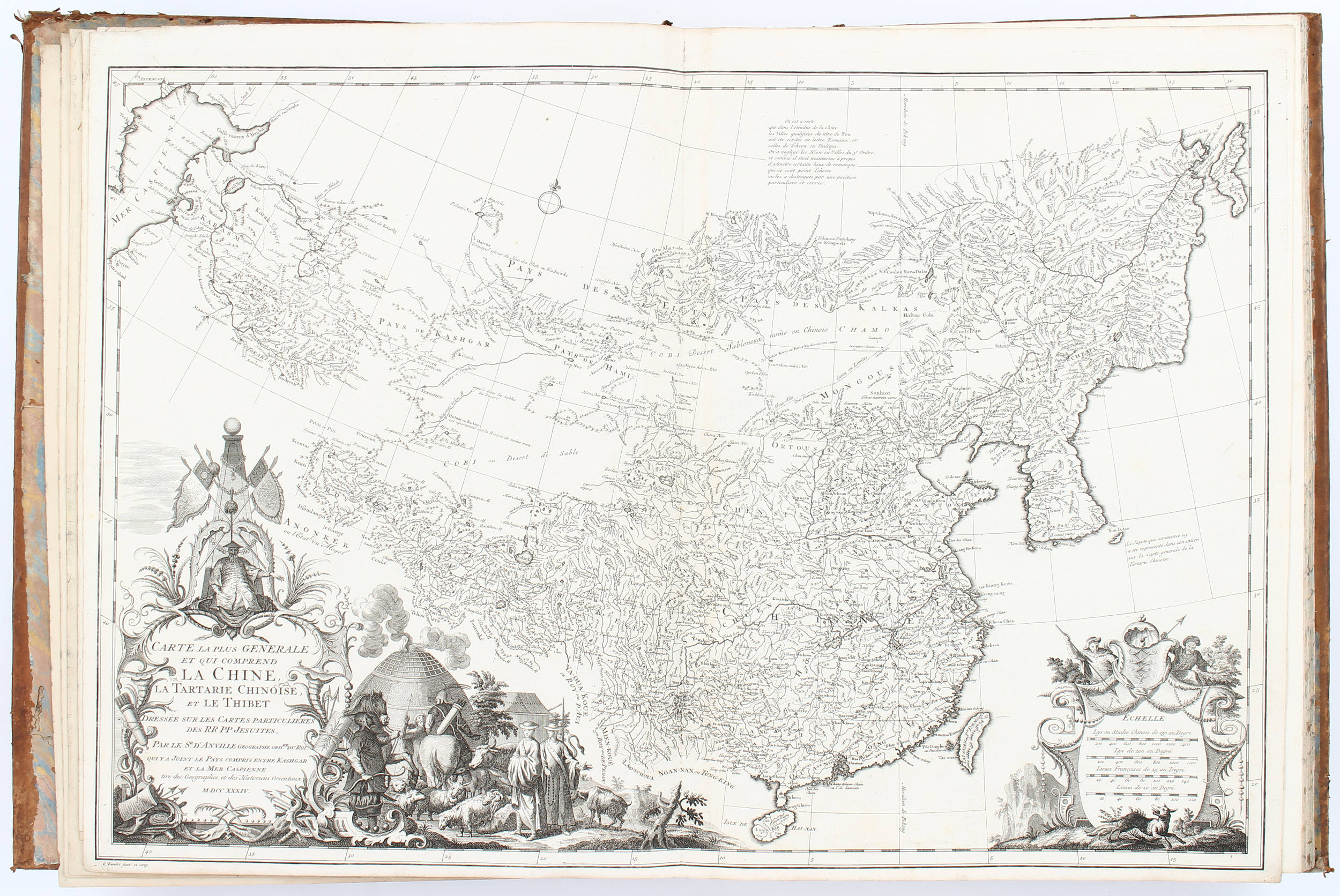
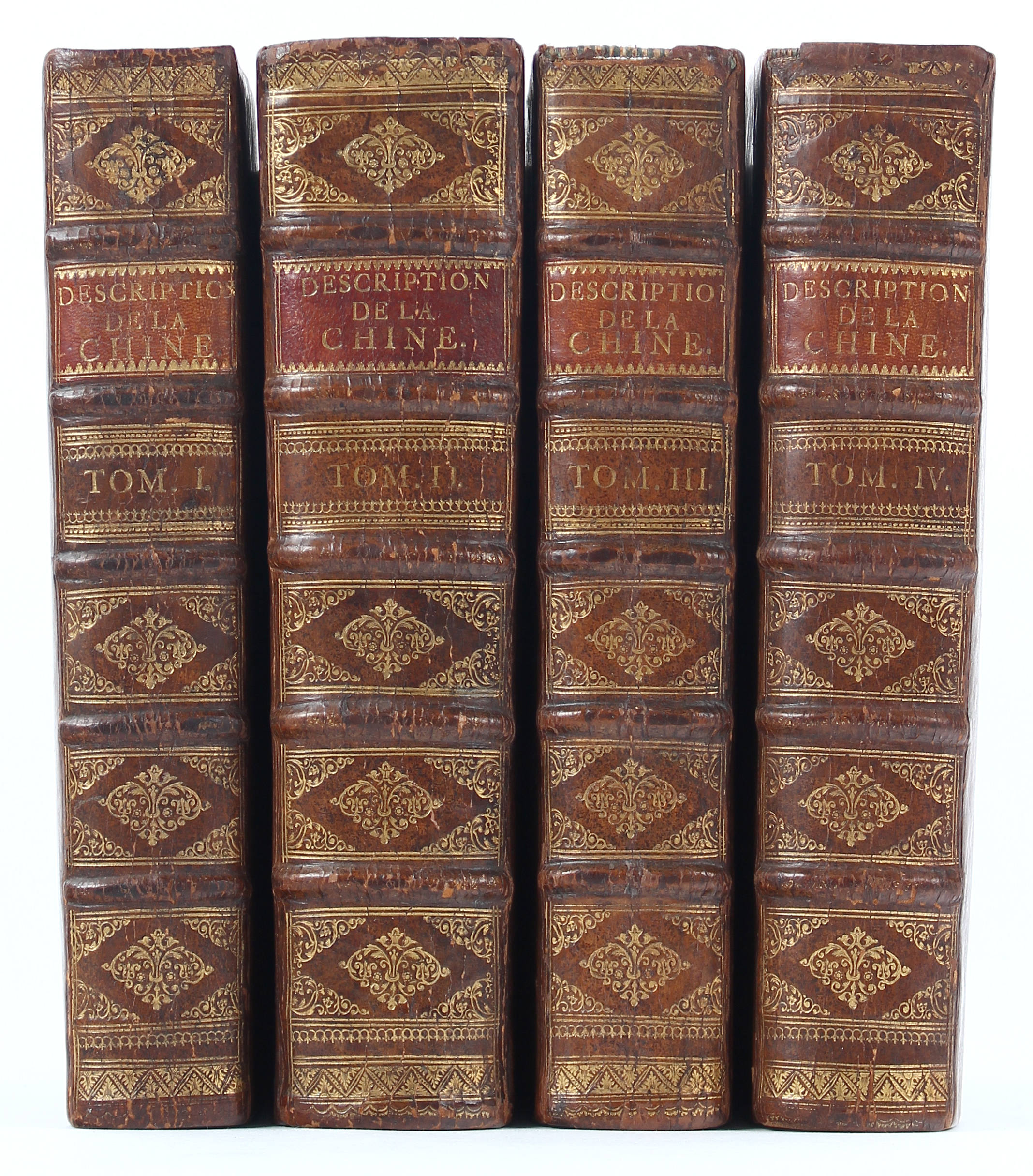
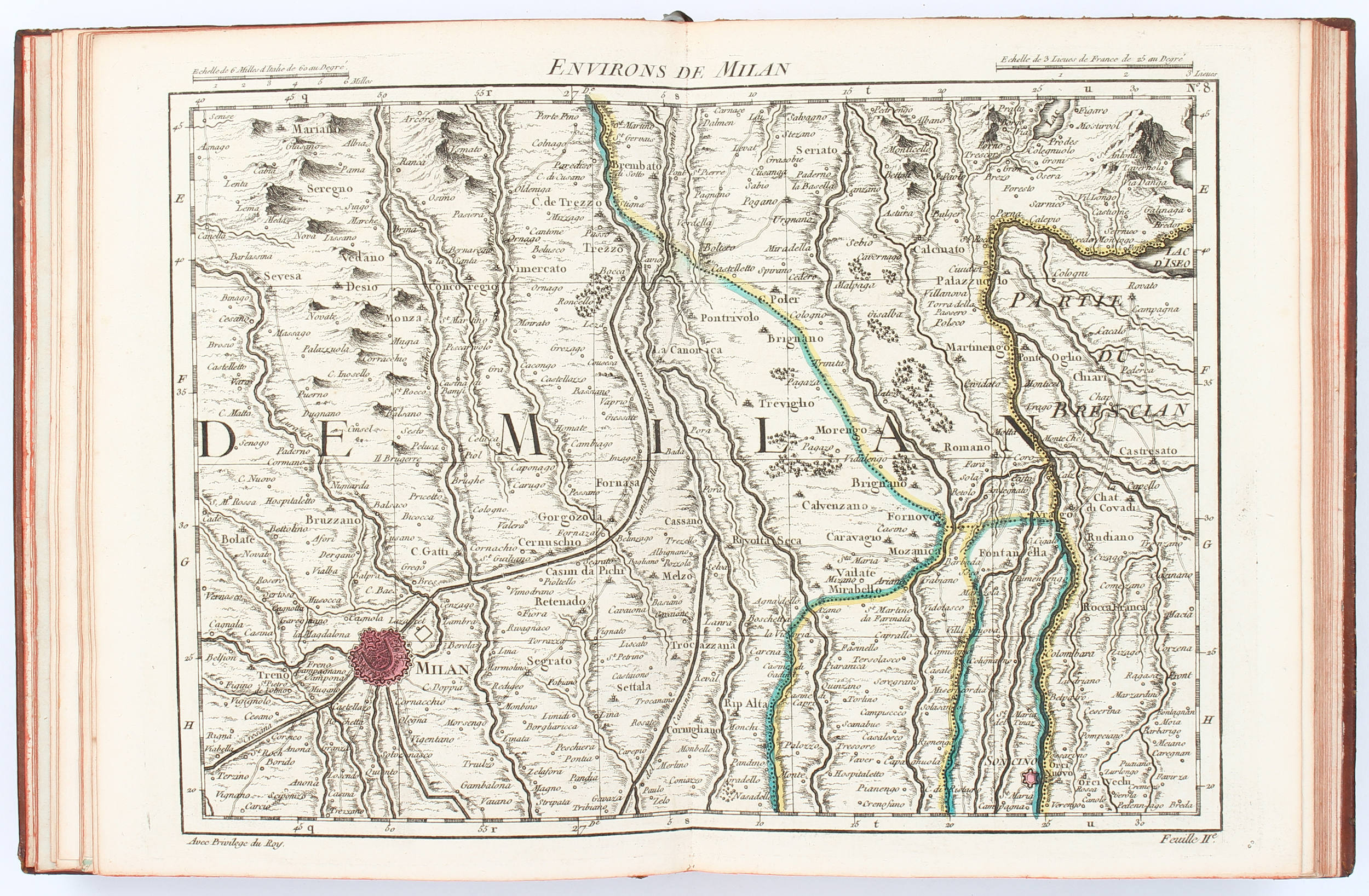
D'ANVILLE, Jean-Baptiste Bourguignon (1697-1782). Nouvel Atlas de la Chine, de la Tartarie Chinoise et du Thibet [New Maps of China, Inner Mongol and Tibet]. The Hague: Henri Scheurleer, 1737. The most comprehensive European atlas of China in the 18th century and the first to depict Tibet. From an early age d'Anville immersed himself in geography and the study of maps. He engraved his first map at the age of 15, and soon became one of the most respected cartographers in France, appointed Geographer to the King in 1773. Although he never left Paris, he had access to the new Jesuit surveys carried out in 1708 for the Emperor Kangxi. The early 18th century was a period of rapid development for French cartography. When Emperor Kangxi initiated surveys for the atlas Huangyu Quanlan Tu (Overview Atlas of Imperial Territories), he sent a request to France asking help from priests on the project. Simultaneously, the results of the surveys were passed onto Paris through the French priests. D’Anville was one of the ten French priests participating in the Kangxi Project during 1708-1718 (Tam). Based on the materials of the Kangxi Project, d’Anville’s atlas of China was issued in Paris by Dezauche under the title Atlas General de la Chine (General Atlas of China), and by Scheurleer in The Hague (this edition), which has 42 maps as opposed to 50. The present lot is the most influential atlas reshaping European understanding of Chinese geography after Martino Martini’s Novus Atlas Sinensis (New Atlas of China, 1655). Other extant copies of this atlas can be found in the collection of important institutes worldwide, such as the Library of Congress (US), Royal Collection Trust (UK) and the National Library of France. References: Cordier Sinica 48; Kwong-Lim Tam, Cong Fangyuan dao Jingwei: Xianggang yu Huanan Lishi Ditu Zhencang [From Circular and Square Shapes to Meridian and Parallel Lines: Collected Treasures of Historical Maps of Hong Kong and South China] (2010), pp. 61. Folio (545 x 370 mm). Title printed in red and black (light staining). 42 engraved maps of which 3 are folding and 10 double-page (some mostly marginal dust-soiling or other light stains, large folding map strengthened along edges and with short tear). Modern boards (slight rubbing). Exhibited: "The World on Paper: From Square to Sphericity," Hong Kong Maritime Museum, December 2019 to March 2020. Please note that this lot is subject to an import tariff. If the buyer instructs Christie’s to arrange shipping of the lot to a foreign address, the buyer will not be required to pay the import tariff. If the buyer instructs Christie’s to arrange shipping of the lot to a domestic address, if the buyer collects the property in person, or if the buyer arranges their own shipping (whether domestically or internationally), the buyer will be required to pay the import tariff. Please contact Post Sale Services on +1 212 636 2650 prior to bidding for more information.
D'ANVILLE, Jean-Baptiste Bourguignon (1697-1782). Nouvel Atlas de la Chine, de la Tartarie Chinoise et du Thibet [New Maps of China, Inner Mongol and Tibet]. The Hague: Henri Scheurleer, 1737. The most comprehensive European atlas of China in the 18th century and the first to depict Tibet. From an early age d'Anville immersed himself in geography and the study of maps. He engraved his first map at the age of 15, and soon became one of the most respected cartographers in France, appointed Geographer to the King in 1773. Although he never left Paris, he had access to the new Jesuit surveys carried out in 1708 for the Emperor Kangxi. The early 18th century was a period of rapid development for French cartography. When Emperor Kangxi initiated surveys for the atlas Huangyu Quanlan Tu (Overview Atlas of Imperial Territories), he sent a request to France asking help from priests on the project. Simultaneously, the results of the surveys were passed onto Paris through the French priests. D’Anville was one of the ten French priests participating in the Kangxi Project during 1708-1718 (Tam). Based on the materials of the Kangxi Project, d’Anville’s atlas of China was issued in Paris by Dezauche under the title Atlas General de la Chine (General Atlas of China), and by Scheurleer in The Hague (this edition), which has 42 maps as opposed to 50. The present lot is the most influential atlas reshaping European understanding of Chinese geography after Martino Martini’s Novus Atlas Sinensis (New Atlas of China, 1655). Other extant copies of this atlas can be found in the collection of important institutes worldwide, such as the Library of Congress (US), Royal Collection Trust (UK) and the National Library of France. References: Cordier Sinica 48; Kwong-Lim Tam, Cong Fangyuan dao Jingwei: Xianggang yu Huanan Lishi Ditu Zhencang [From Circular and Square Shapes to Meridian and Parallel Lines: Collected Treasures of Historical Maps of Hong Kong and South China] (2010), pp. 61. Folio (545 x 370 mm). Title printed in red and black (light staining). 42 engraved maps of which 3 are folding and 10 double-page (some mostly marginal dust-soiling or other light stains, large folding map strengthened along edges and with short tear). Modern boards (slight rubbing). Exhibited: "The World on Paper: From Square to Sphericity," Hong Kong Maritime Museum, December 2019 to March 2020. Please note that this lot is subject to an import tariff. If the buyer instructs Christie’s to arrange shipping of the lot to a foreign address, the buyer will not be required to pay the import tariff. If the buyer instructs Christie’s to arrange shipping of the lot to a domestic address, if the buyer collects the property in person, or if the buyer arranges their own shipping (whether domestically or internationally), the buyer will be required to pay the import tariff. Please contact Post Sale Services on +1 212 636 2650 prior to bidding for more information.

.jpg)
.jpg?w=400)


Try LotSearch and its premium features for 7 days - without any costs!
Be notified automatically about new items in upcoming auctions.
Create an alert