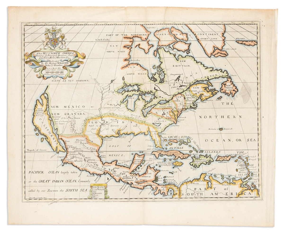
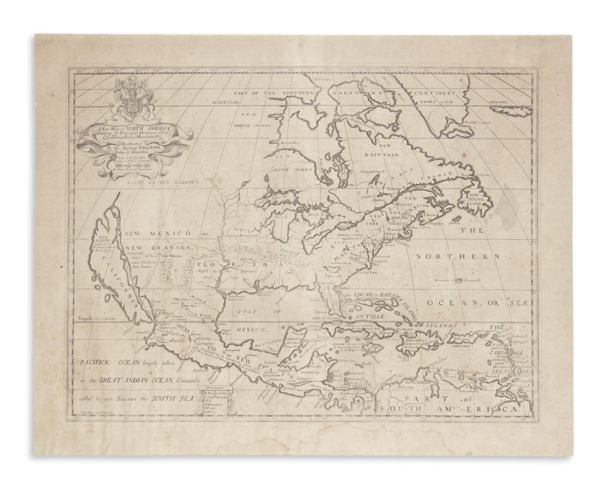
North America. Edward Wells (1667-1727) A New Map of North America Shewing its Principal Divisions, Chief Cities, Townes, Rivers, Mountains, &c. Oxford, 1700. Double-page folio map dedicated to William, Duke of Gloucester, published in the atlas produced by Wells to celebrate the Duke's studies at Oxford University; copper-plate engraving with a hand-colored cartouche and hand-outlining, a handsome, if inaccurate map based on the work of the missionary Louis Hennepin, and faithfully displaying his discoveries, while distorting some now-familiar landforms. Florida is oddly shaped; California is an island, and the Mississippi river is in the wrong location; framed, some minor spotting, 20 1/2 x 16 1/4 in.
North America. Edward Wells (1667-1727) A New Map of North America Shewing its Principal Divisions, Chief Cities, Townes, Rivers, Mountains, &c. Oxford, 1700. Double-page folio map dedicated to William, Duke of Gloucester, published in the atlas produced by Wells to celebrate the Duke's studies at Oxford University; copper-plate engraving with a hand-colored cartouche and hand-outlining, a handsome, if inaccurate map based on the work of the missionary Louis Hennepin, and faithfully displaying his discoveries, while distorting some now-familiar landforms. Florida is oddly shaped; California is an island, and the Mississippi river is in the wrong location; framed, some minor spotting, 20 1/2 x 16 1/4 in.


.jpg?w=400?width=1600&quality=70)


Testen Sie LotSearch und seine Premium-Features 7 Tage - ohne Kosten!
Lassen Sie sich automatisch über neue Objekte in kommenden Auktionen benachrichtigen.
Suchauftrag anlegen