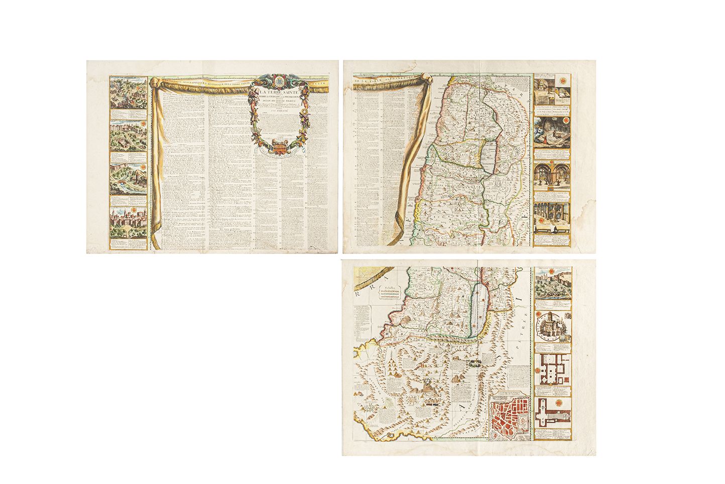
NOLIN, Jean Baptiste (1657-1725). La Terre Sainte autrefois Terre de Chanaan et de Promission divisé selon ses douze tribus...J.B.Nolin . Paris: chez Janvier, [circa 1770]. Hand-coloured engraved wall-map of the Holy Land on 4 sheets, joined, overall 970 x 1230mm, title set in elaborate cartouche set on a larger drapeau, filled with historical and geographical descriptions and table of place names and descriptions, outer borders inset with 18 plans and views of the Holy site, inset scale bars, advertisement and table chronologique. A fine example of Janvier's reissue of Nolin's wall-map of the Holy Land.
NOLIN, Jean Baptiste (1657-1725). La Terre Sainte autrefois Terre de Chanaan et de Promission divisé selon ses douze tribus...J.B.Nolin . Paris: chez Janvier, [circa 1770]. Hand-coloured engraved wall-map of the Holy Land on 4 sheets, joined, overall 970 x 1230mm, title set in elaborate cartouche set on a larger drapeau, filled with historical and geographical descriptions and table of place names and descriptions, outer borders inset with 18 plans and views of the Holy site, inset scale bars, advertisement and table chronologique. A fine example of Janvier's reissue of Nolin's wall-map of the Holy Land.


Testen Sie LotSearch und seine Premium-Features 7 Tage - ohne Kosten!
Lassen Sie sich automatisch über neue Objekte in kommenden Auktionen benachrichtigen.
Suchauftrag anlegen