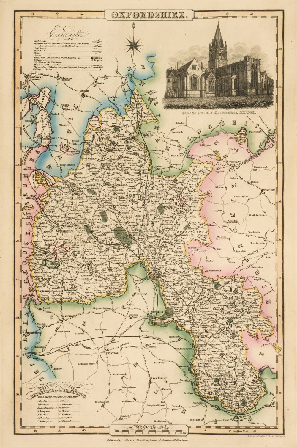
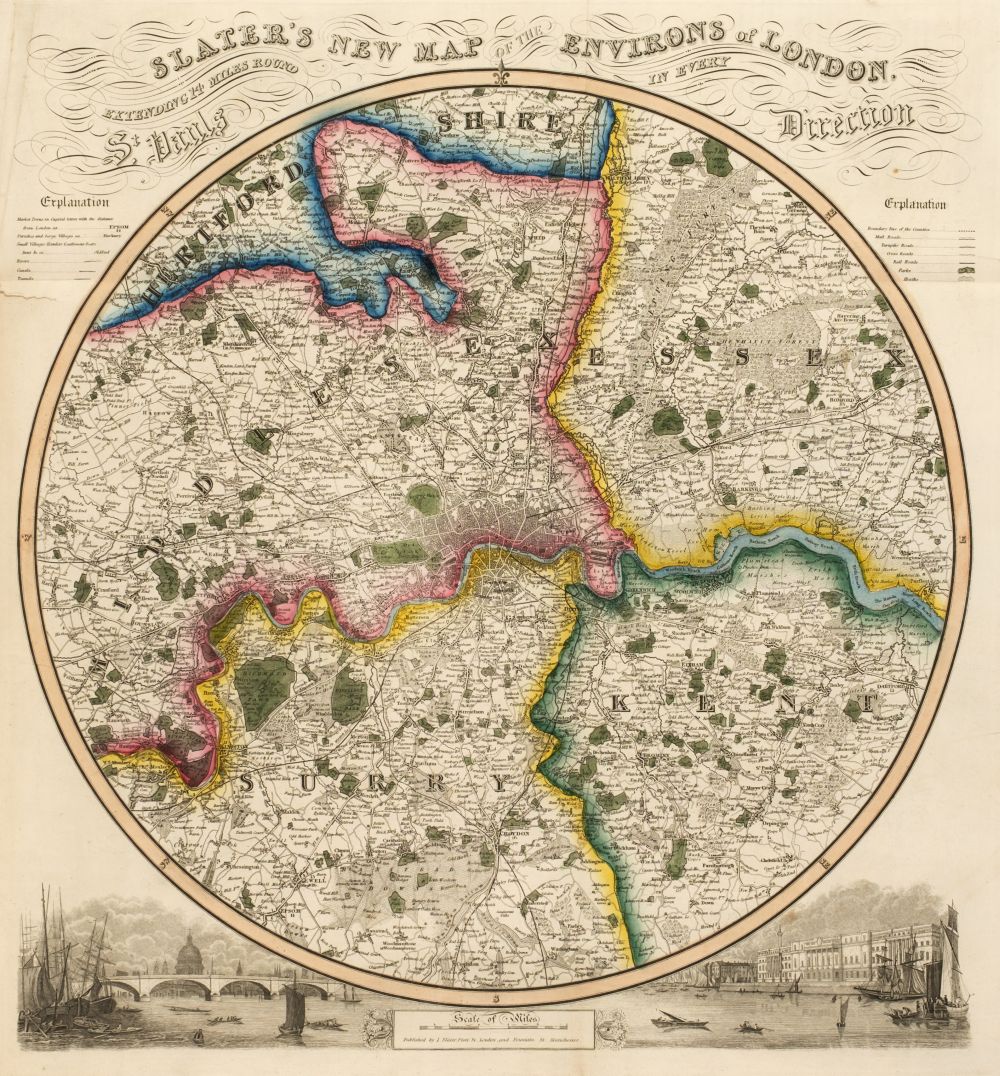
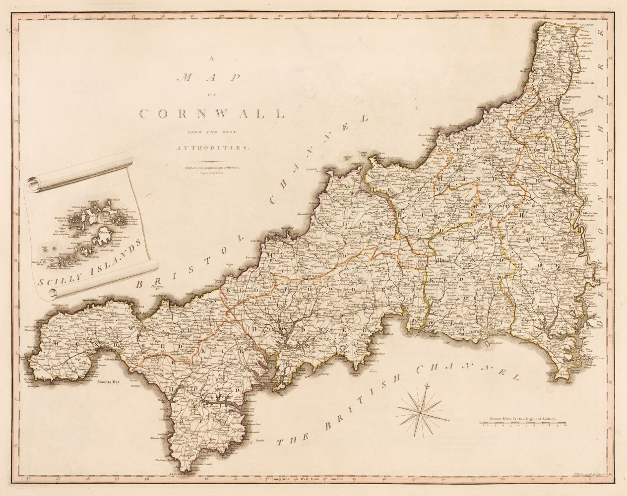
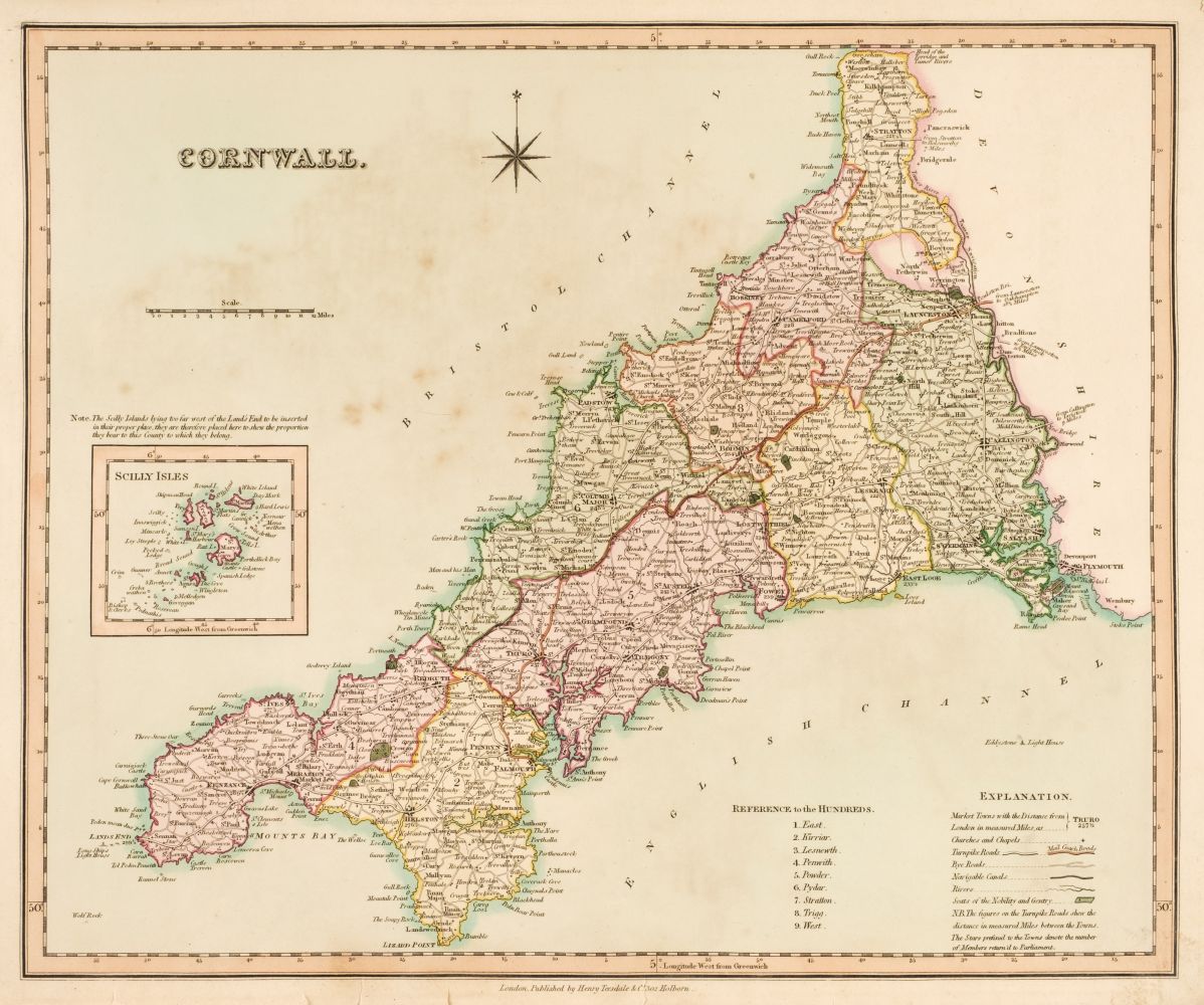
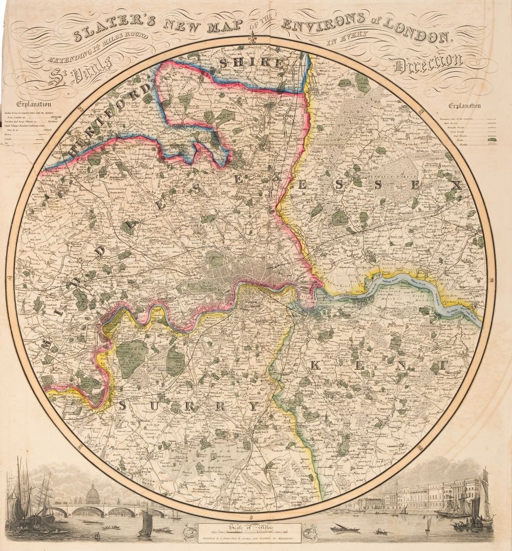
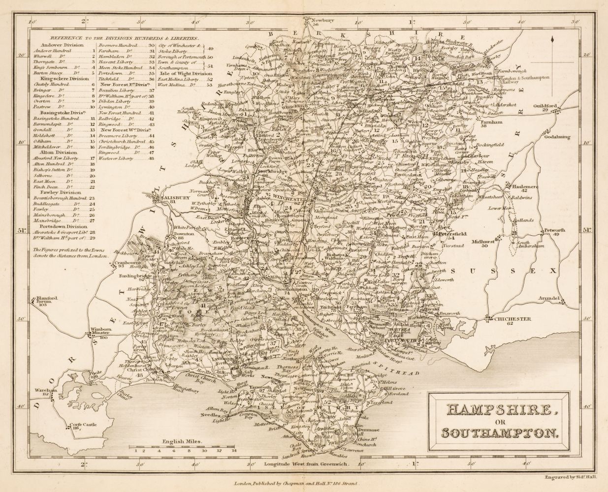
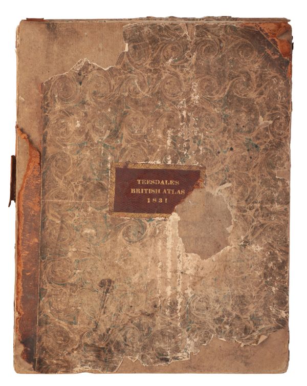
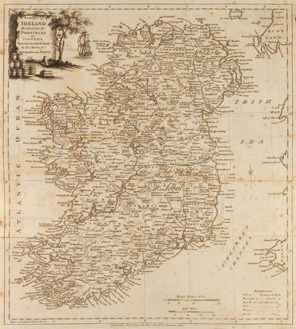
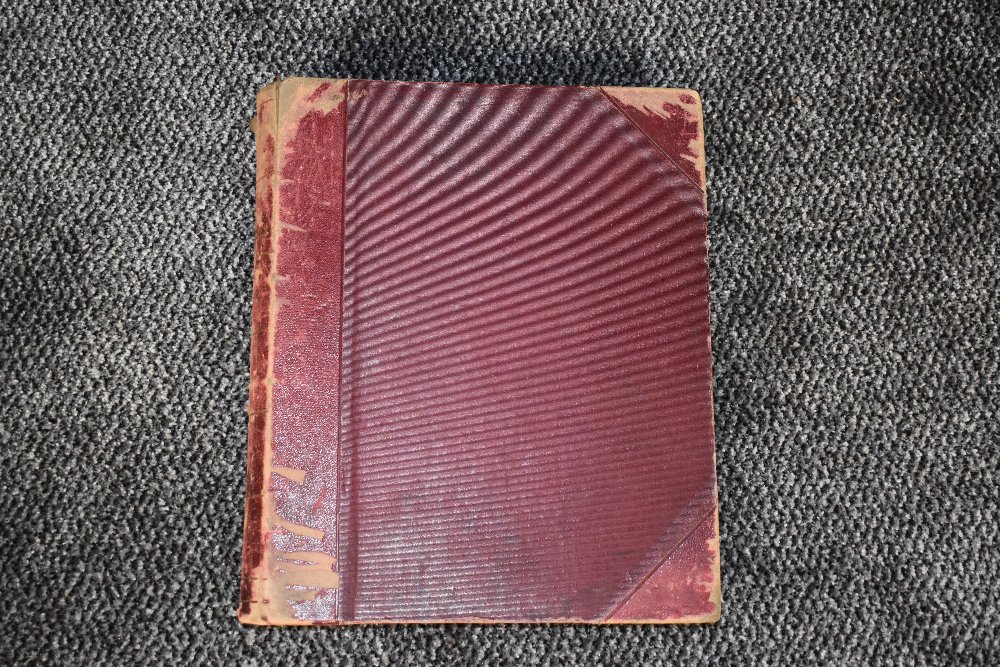
New British Atlas Containing a Complete Set of County Maps, on Which are Delineated all the Principal Cross Roads, Cities Towns & most considerable Villages, Parks, Rivers, Navigable Canals & Railways, preceded by General maps of England, Ireland, Scotland, North & South Wales. The Whole Carefully Revised & Corrected to the Year, 1831. London: Henry Teesdale & Co. Folio, half Morocco over green cloth; gilt spine lettering. With folding maps of Ireland and Scotland, folds reinforced with linen strips (as made), plus North and South Wales (2 maps) and 44 county maps (Yorkshire on 4 maps). The only map called for that is missing is the general map of England. Maps 14.75 x 18 in., hand colored. Condition: Title page and 2 folding maps separated from volume, but present. Both boards separated. Part of spine missing. Maps generally very good to excellent.
New British Atlas Containing a Complete Set of County Maps, on Which are Delineated all the Principal Cross Roads, Cities Towns & most considerable Villages, Parks, Rivers, Navigable Canals & Railways, preceded by General maps of England, Ireland, Scotland, North & South Wales. The Whole Carefully Revised & Corrected to the Year, 1831. London: Henry Teesdale & Co. Folio, half Morocco over green cloth; gilt spine lettering. With folding maps of Ireland and Scotland, folds reinforced with linen strips (as made), plus North and South Wales (2 maps) and 44 county maps (Yorkshire on 4 maps). The only map called for that is missing is the general map of England. Maps 14.75 x 18 in., hand colored. Condition: Title page and 2 folding maps separated from volume, but present. Both boards separated. Part of spine missing. Maps generally very good to excellent.




.jpg?w=400)

Try LotSearch and its premium features for 7 days - without any costs!
Be notified automatically about new items in upcoming auctions.
Create an alert