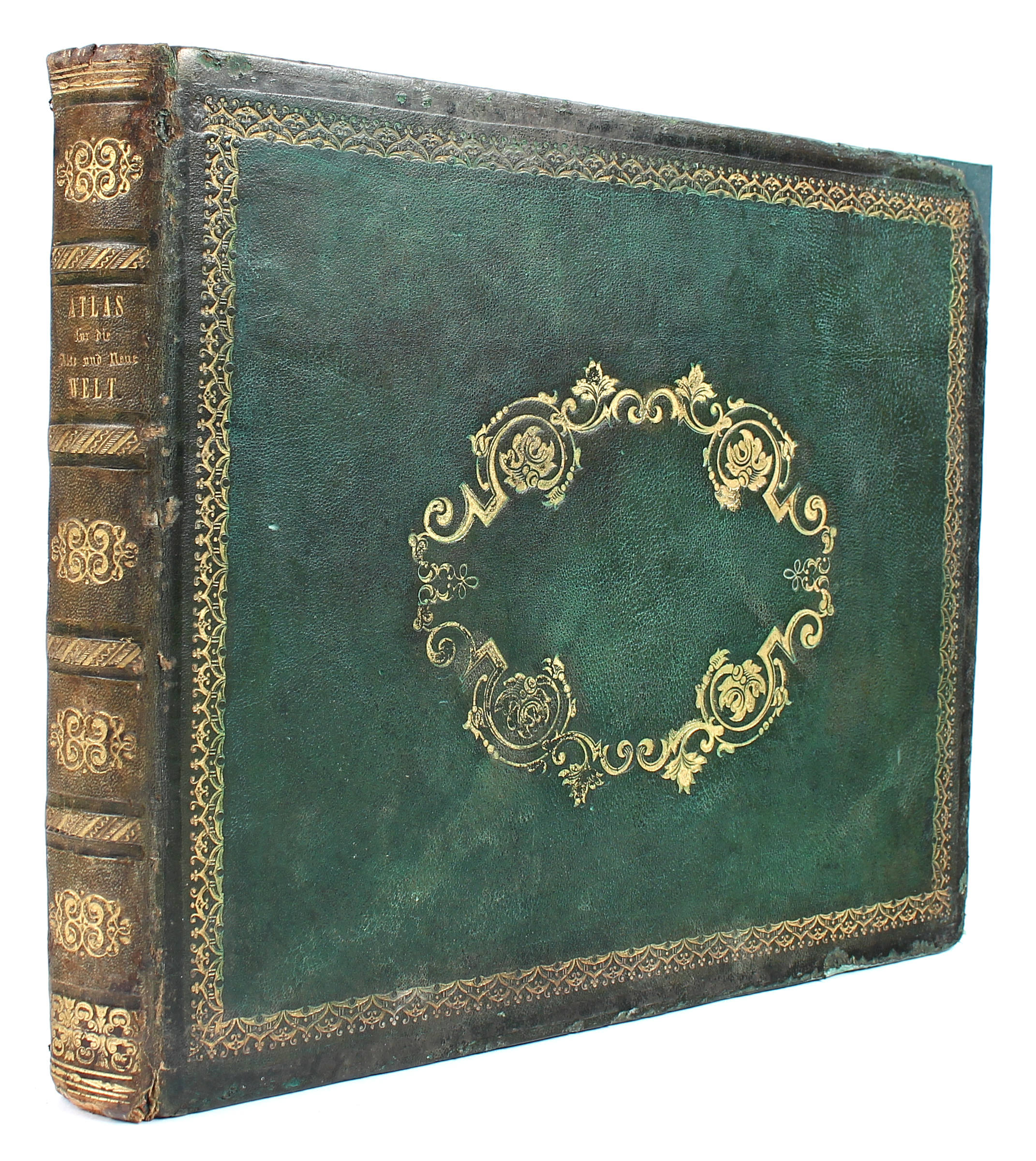
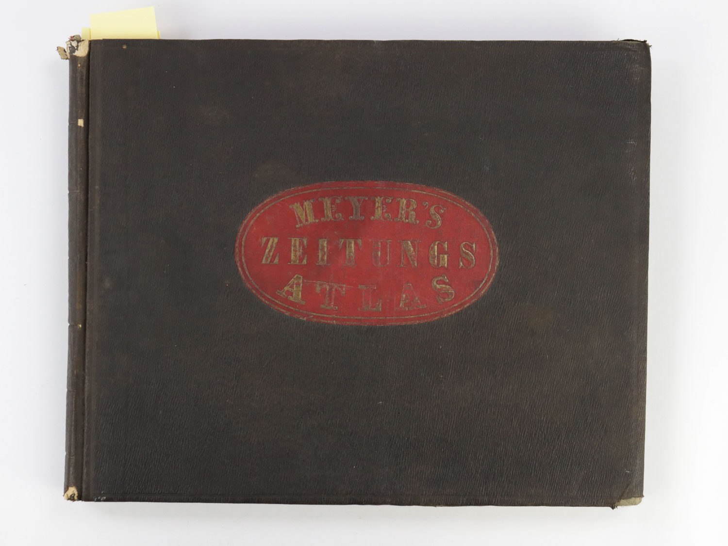
Neuester Zeitungs - Atlas für Alte & Neue Erdkunde Author: Meyer, Joseph Place: Hildburghausen, Amsterdam, and New-York Publisher: Bibliographischen Instituts; Stahlstich, Druck Date: [1849-52] Description: With 123 total steel-engraved maps and plates, plus insets; maps outlined in period hand-coloring (except 3 including London and Paris maps); 3 of the plates show celestial and navigational figures, and rivers and mountains of the world; steel-engraved title page. (Oblong 4to) 25x31.5 cm (10x12¼"), bound in period quarter red morocco and paper boards. Includes the important map of the southwest showing California, Texas, Mew Mexico and Utah along with portions of Northern Mexico, drawn by J. Grässl in 1852 titled "Vereinigte Staaten von Nord-America: Californien, Texas und die Territorien New Mexico u. Utah," providing a fine example of precise German-style engraving of the era. Shows the California Gold Region highlighted in gold from Marysville to the lower Joaquin Valley; also, titles Fremont's 1845 route which passes through "Mormon City" [Salt Lake City]; California’s boundaries not clearly marked and merges with Utah; Colorado River titled; plus several important markings and titling including “Austins Grant” in Texas, many early roads, Indian Tribal names, California Missions and Forts titled, unusual configuration for Texas and New Mexico, and a host of other details shown. Several maps cover the ancient world, 7 specifically of the United States, 27 of the German regions, 5 continents and more. Maps are all complete, most of which date between 1849 to 1850, with only a few from 1851 to 1852. See Wheat, Maps of Gold Region, 217; Wheat, Mapping Transmississippi West, 750. Lot Amendments Condition: Binding well rubbed and worn; soiling to contents primarily in margins, stain to engraved title page, crease to list of plates; about very good. Item number: 305976a
Neuester Zeitungs - Atlas für Alte & Neue Erdkunde Author: Meyer, Joseph Place: Hildburghausen, Amsterdam, and New-York Publisher: Bibliographischen Instituts; Stahlstich, Druck Date: [1849-52] Description: With 123 total steel-engraved maps and plates, plus insets; maps outlined in period hand-coloring (except 3 including London and Paris maps); 3 of the plates show celestial and navigational figures, and rivers and mountains of the world; steel-engraved title page. (Oblong 4to) 25x31.5 cm (10x12¼"), bound in period quarter red morocco and paper boards. Includes the important map of the southwest showing California, Texas, Mew Mexico and Utah along with portions of Northern Mexico, drawn by J. Grässl in 1852 titled "Vereinigte Staaten von Nord-America: Californien, Texas und die Territorien New Mexico u. Utah," providing a fine example of precise German-style engraving of the era. Shows the California Gold Region highlighted in gold from Marysville to the lower Joaquin Valley; also, titles Fremont's 1845 route which passes through "Mormon City" [Salt Lake City]; California’s boundaries not clearly marked and merges with Utah; Colorado River titled; plus several important markings and titling including “Austins Grant” in Texas, many early roads, Indian Tribal names, California Missions and Forts titled, unusual configuration for Texas and New Mexico, and a host of other details shown. Several maps cover the ancient world, 7 specifically of the United States, 27 of the German regions, 5 continents and more. Maps are all complete, most of which date between 1849 to 1850, with only a few from 1851 to 1852. See Wheat, Maps of Gold Region, 217; Wheat, Mapping Transmississippi West, 750. Lot Amendments Condition: Binding well rubbed and worn; soiling to contents primarily in margins, stain to engraved title page, crease to list of plates; about very good. Item number: 305976a


Try LotSearch and its premium features for 7 days - without any costs!
Be notified automatically about new items in upcoming auctions.
Create an alert