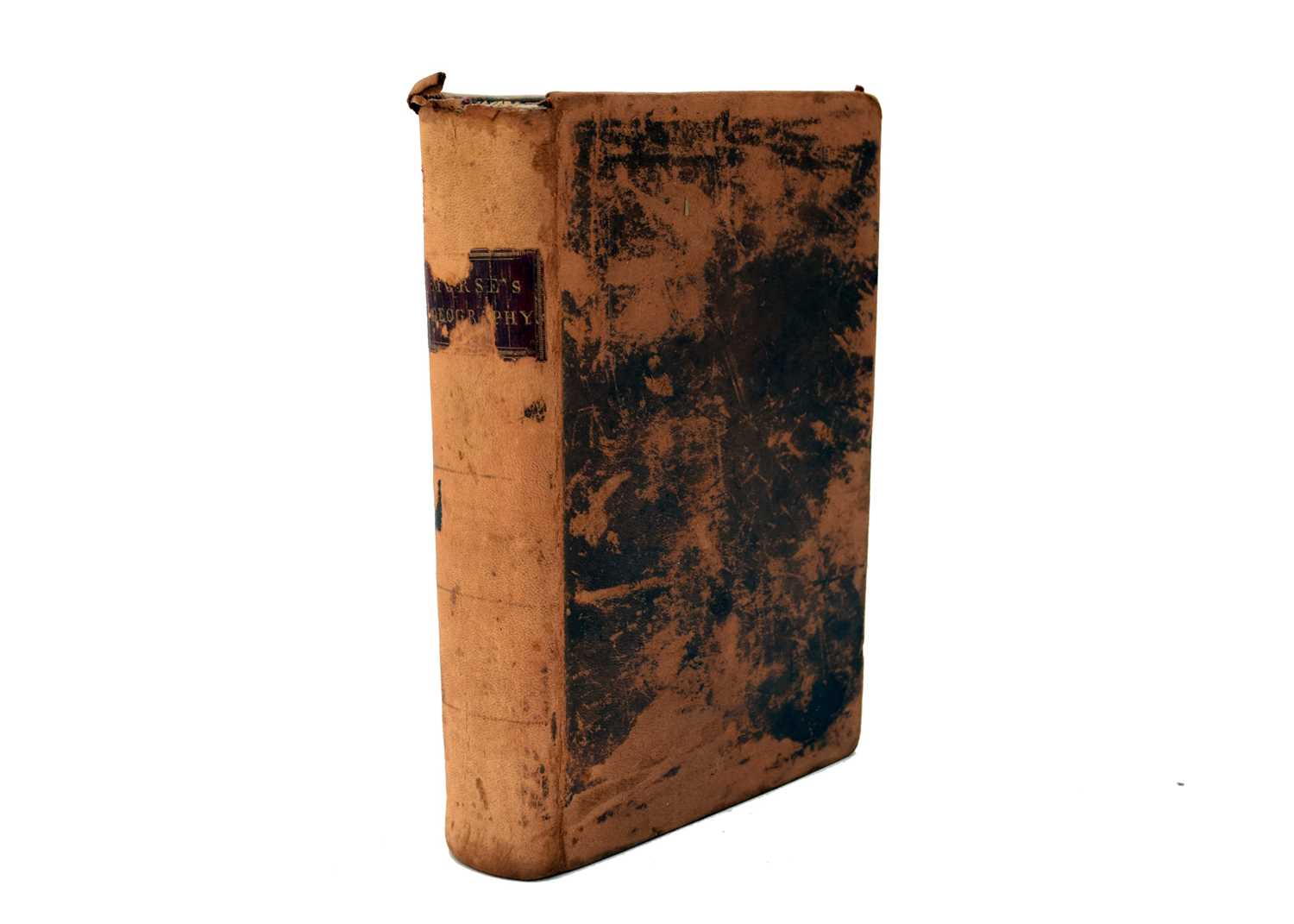
MORSE, JEDIDIAH. The American Geography; Or, A View of the Present Situation of the United States of America: Containing...A Particular Description of Kentucky, the Western Territory South of Ohio, and Vermont...New Edition. London: John Stockdale, 1794. 4 o (337 x 210 mm). (Kentucky map with separation at central fold neatly mended, small tear in gutter margin). Contemporary polished sheep, covers with narrow gilt rules, black morocco gilt-lettered spine label (rubbed at extremities). Three folding engraved maps, including the very detailed "Map of Kentucky Drawn from Actual Observations by John Filson," 525 x 460mm (20¾ x 18¼ in), dated "23 Novr.1793" at bottom and depicting the area from the Scioto River westward to the rapids of the Ohio (present-day Louisville). Filson's map, drawn by W. Hall, was first engraved for his Discovery, Settlement and Present State of Kentucky (Philadelphia, 1784), although few copies of the book are found with the map; the present printing is from the same plate used in Stockdale's first English printing of Filson's narrative, 1793 (See Church Catalogue 1261; Phillips, p.350.) Howes M840 ("best edition"); Streeter sale I:75.
MORSE, JEDIDIAH. The American Geography; Or, A View of the Present Situation of the United States of America: Containing...A Particular Description of Kentucky, the Western Territory South of Ohio, and Vermont...New Edition. London: John Stockdale, 1794. 4 o (337 x 210 mm). (Kentucky map with separation at central fold neatly mended, small tear in gutter margin). Contemporary polished sheep, covers with narrow gilt rules, black morocco gilt-lettered spine label (rubbed at extremities). Three folding engraved maps, including the very detailed "Map of Kentucky Drawn from Actual Observations by John Filson," 525 x 460mm (20¾ x 18¼ in), dated "23 Novr.1793" at bottom and depicting the area from the Scioto River westward to the rapids of the Ohio (present-day Louisville). Filson's map, drawn by W. Hall, was first engraved for his Discovery, Settlement and Present State of Kentucky (Philadelphia, 1784), although few copies of the book are found with the map; the present printing is from the same plate used in Stockdale's first English printing of Filson's narrative, 1793 (See Church Catalogue 1261; Phillips, p.350.) Howes M840 ("best edition"); Streeter sale I:75.


Try LotSearch and its premium features for 7 days - without any costs!
Be notified automatically about new items in upcoming auctions.
Create an alert