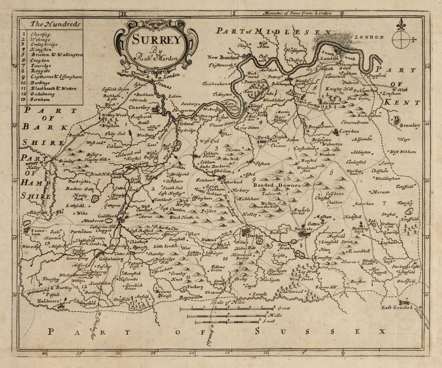
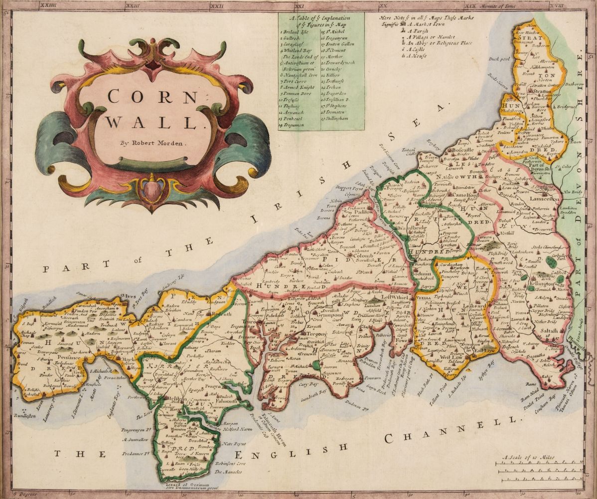
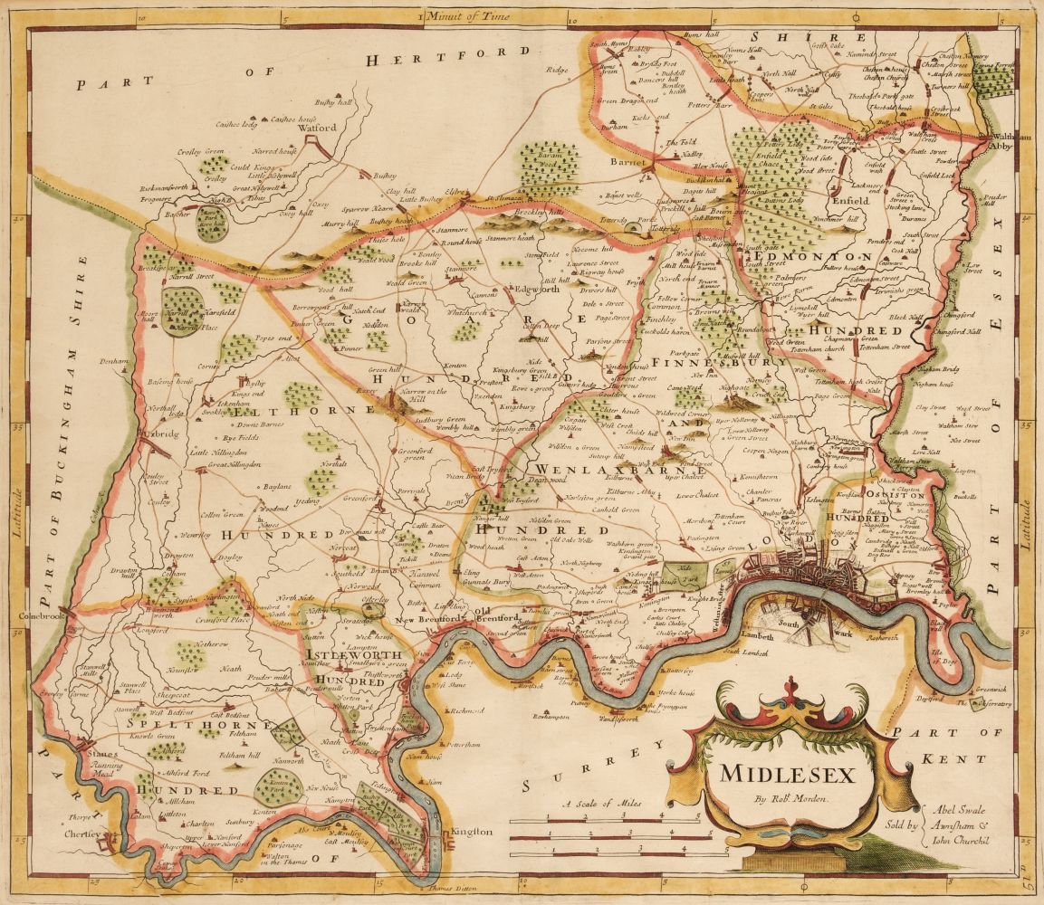
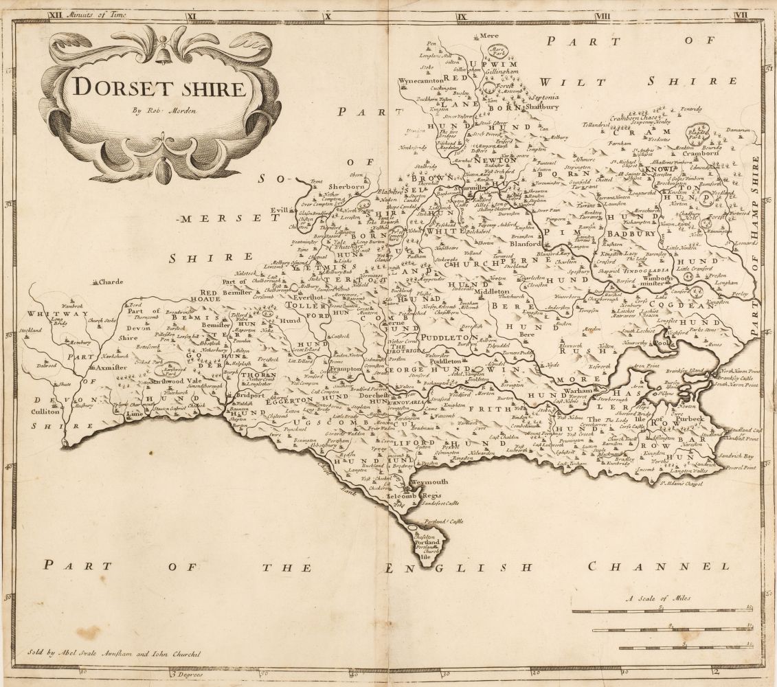
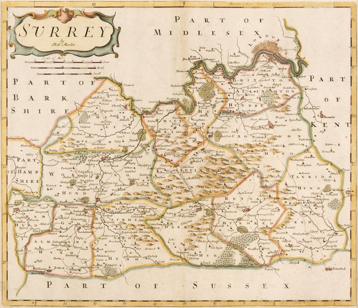
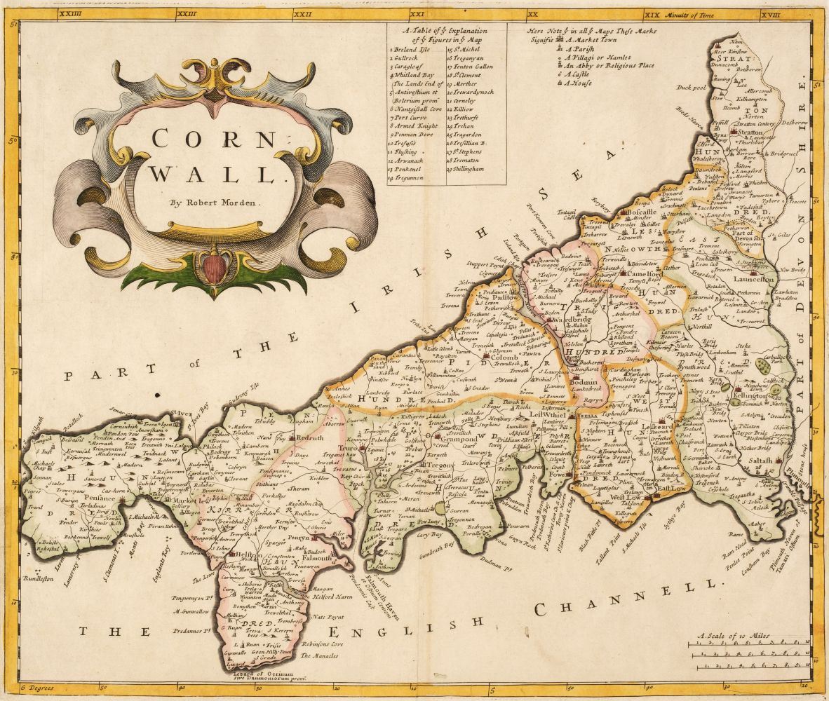
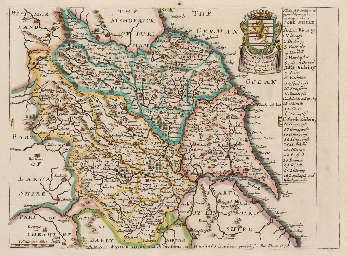
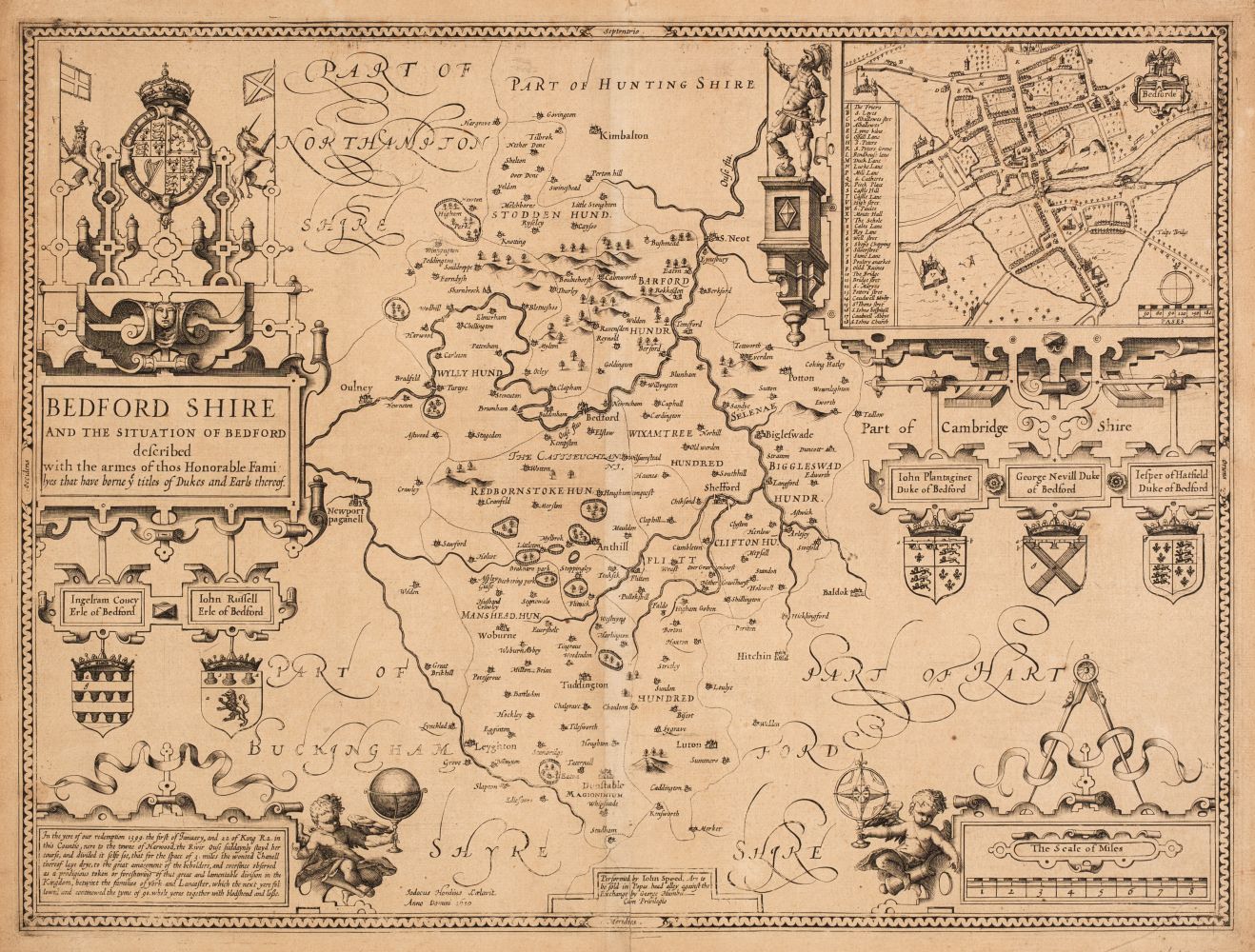
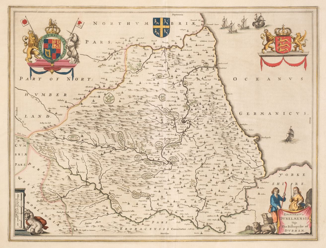
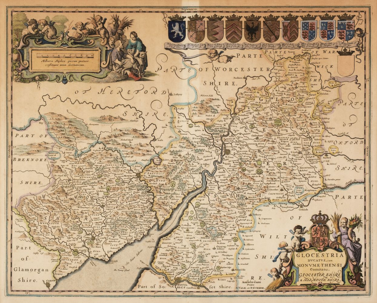
Morden (Robert). A collection of thirty-nine maps, [1695 or later], uncoloured engraved maps, some duplicates, a few maps trimmed to image, each approximately 365 x 425 mm (Qty: 39) The maps comprise of :- Berkshire, Buckinghamshire (2), Cambridgeshire (2), Derbyshire (2), Durham (2), Herefordshire, Hertfordshire, Huntingdonshire, Leicestershire, Lincolnshire (2), Monmouth, Northamptonshire (2), Northumberland, Nottinghamshire (2), Rutland (3), Shropshire, Staffordshire, Warwickshire, Westmorland (2), Worcestershire, East Riding of Yorkshire (2), West Riding of Yorkshire, Britannia Saxonica (2), Northern Scotland & The Smaller Islands in the British Ocean (3).
Morden (Robert). A collection of thirty-nine maps, [1695 or later], uncoloured engraved maps, some duplicates, a few maps trimmed to image, each approximately 365 x 425 mm (Qty: 39) The maps comprise of :- Berkshire, Buckinghamshire (2), Cambridgeshire (2), Derbyshire (2), Durham (2), Herefordshire, Hertfordshire, Huntingdonshire, Leicestershire, Lincolnshire (2), Monmouth, Northamptonshire (2), Northumberland, Nottinghamshire (2), Rutland (3), Shropshire, Staffordshire, Warwickshire, Westmorland (2), Worcestershire, East Riding of Yorkshire (2), West Riding of Yorkshire, Britannia Saxonica (2), Northern Scotland & The Smaller Islands in the British Ocean (3).


Testen Sie LotSearch und seine Premium-Features 7 Tage - ohne Kosten!
Lassen Sie sich automatisch über neue Objekte in kommenden Auktionen benachrichtigen.
Suchauftrag anlegen