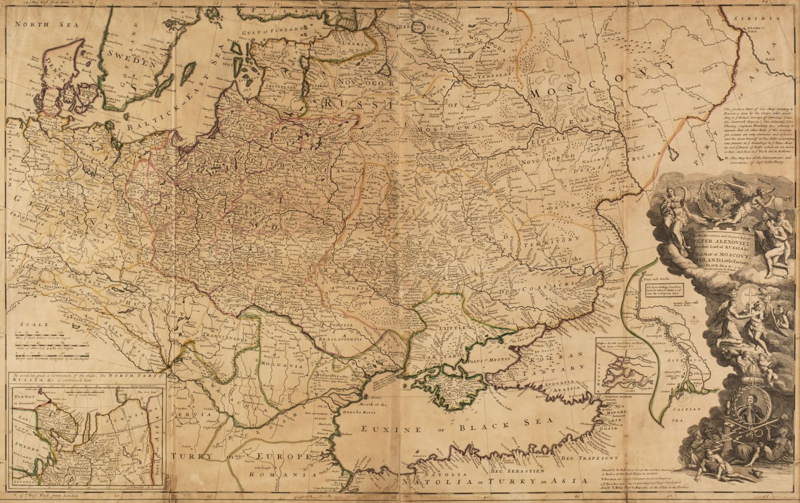
MOLL, Herman (d. 1732). Map of Africa. London: John Bowles [c. 1710]. Large engraved map of Africa, hand-coloured in outline, cartouche with dedication to Charles, Earl of Peterborow [sic] and Monmouth, 4 inset views of Cape Coast Castle, Guinea; James Fort, St Helena; Fort of Good Hope and "A Prospect of the Cape of Good Hope" (very lightly browned, a few very small holes and stains, a few repairs on verso), 578 x 960mm. Norwich 67: "... a popular map of Africa."
MOLL, Herman (d. 1732). Map of Africa. London: John Bowles [c. 1710]. Large engraved map of Africa, hand-coloured in outline, cartouche with dedication to Charles, Earl of Peterborow [sic] and Monmouth, 4 inset views of Cape Coast Castle, Guinea; James Fort, St Helena; Fort of Good Hope and "A Prospect of the Cape of Good Hope" (very lightly browned, a few very small holes and stains, a few repairs on verso), 578 x 960mm. Norwich 67: "... a popular map of Africa." With 3 other maps of Africa, Joannes Janssonius's Aethiopia Inferior, vel Exterior (Amsterdam, c.1650), Edward Wells' A New Map of Libya or Old Africk (London, c.1700) and Henri Abraham Chatelain's Coutumes Moeurs & Habillemens des Peuples qui Habitent aux Environs du Cap de Bonne Esperance (Paris, c.1720), all unframed. (4)


.jpg)


.jpg)
Try LotSearch and its premium features for 7 days - without any costs!
Be notified automatically about new items in upcoming auctions.
Create an alert