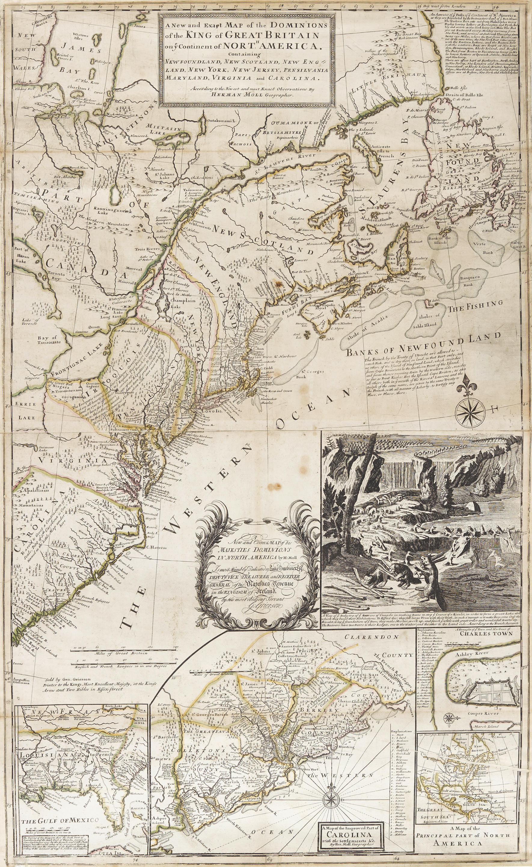
Moll, HermanA New and Exact Map of the Dominions of the King of Great Britain on ye continent of North America containing Newfoundland, New Scotland, New England, New York, New Jersey, Pensilvania, Maryland, Virginia and Carolina. According to the newest and most exact observations. London: "Sold by H. Moll over against Deverux Court on the Strand", 1715
Copper-engraving (on two joined sheets, overall size: 1,054 x 632 mm). Stevens & Tree's first state, with period outline hand-coloring. Rare issue of the celebrated Beaver map. Popularly dubbed the "Beaver map" because of its striking inset of Niagara Falls with a colony of industrious beavers building a dam, Moll's celebrated map counts among the earliest and most important cartographic documents relating to the ongoing boundary disputes in North America between France and Great Britain. "The map was the primary cartographic exponent of the British position during the period immediately following the Treaty of Utrecht in 1713" (Degrees of Latitude, p. 114).
The beaver perfectly conveyed the spirit of North America: the animal was key to the fur trade and its industrious nature symbolized that those who were productive would control the land and garner wealth and prosperity. Moll borrowed the scene from Guerard's decorative vignette which first appeared in the "original" beaver map, Nicolas de Fer's monumental wall map of America, published in 1698; but it is Moll's map that remains etched in collective memory. REFERENCE:Cumming, British Maps 6-12; Cumming, Southeast in Early Maps 158; Degrees of Latitude 19; Reinhartz, Herman Moll Geographer 18-36; Schwartz and Ehrenberg, Mapping of America 138, 144; Stevens and Tree, Comparative Cartography, 55 (with variant imprint)


.jpg)
.jpg)

Try LotSearch and its premium features for 7 days - without any costs!
Be notified automatically about new items in upcoming auctions.
Create an alert