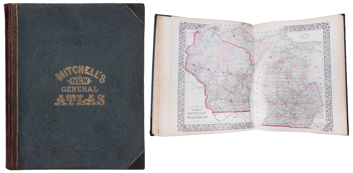
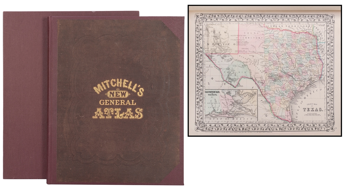
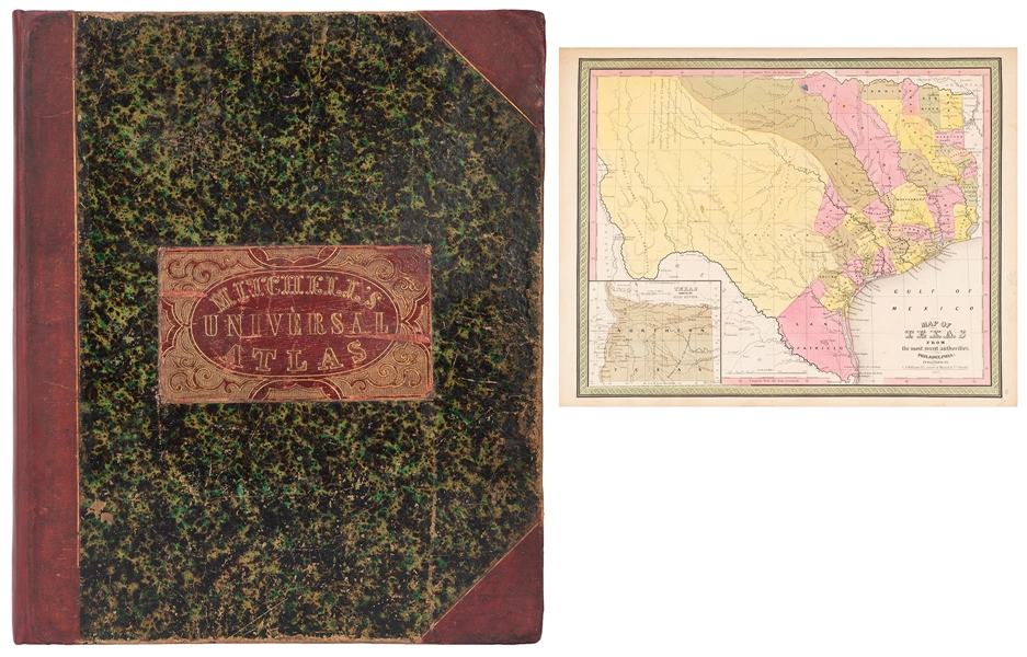
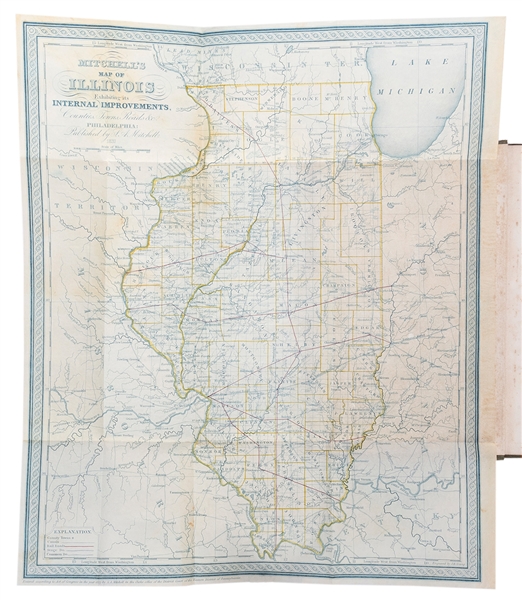
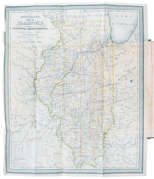
[MITCHELL, SAMUEL AUGUSTUS] Mitchell's School Atlas: Comprising the Maps and Tables Designed to Accompany Mitchell's School and Family Geography. Philadelphia: E. H. Butler & Co., 1858. Publisher's pictorial paper-covered boards. 11 5/8 x 9 1/4 inches; 31 hand-colored engraved maps (complete without no. 6, also not listed in the table of contents) on 17 sheets. Binding very worn with loss, some maps loose but present, occasional foxing and surface soiling. With several maps of the United States, including a full-page map of Texas. C
[MITCHELL, SAMUEL AUGUSTUS] Mitchell's School Atlas: Comprising the Maps and Tables Designed to Accompany Mitchell's School and Family Geography. Philadelphia: E. H. Butler & Co., 1858. Publisher's pictorial paper-covered boards. 11 5/8 x 9 1/4 inches; 31 hand-colored engraved maps (complete without no. 6, also not listed in the table of contents) on 17 sheets. Binding very worn with loss, some maps loose but present, occasional foxing and surface soiling. With several maps of the United States, including a full-page map of Texas. C




Testen Sie LotSearch und seine Premium-Features 7 Tage - ohne Kosten!
Lassen Sie sich automatisch über neue Objekte in kommenden Auktionen benachrichtigen.
Suchauftrag anlegen