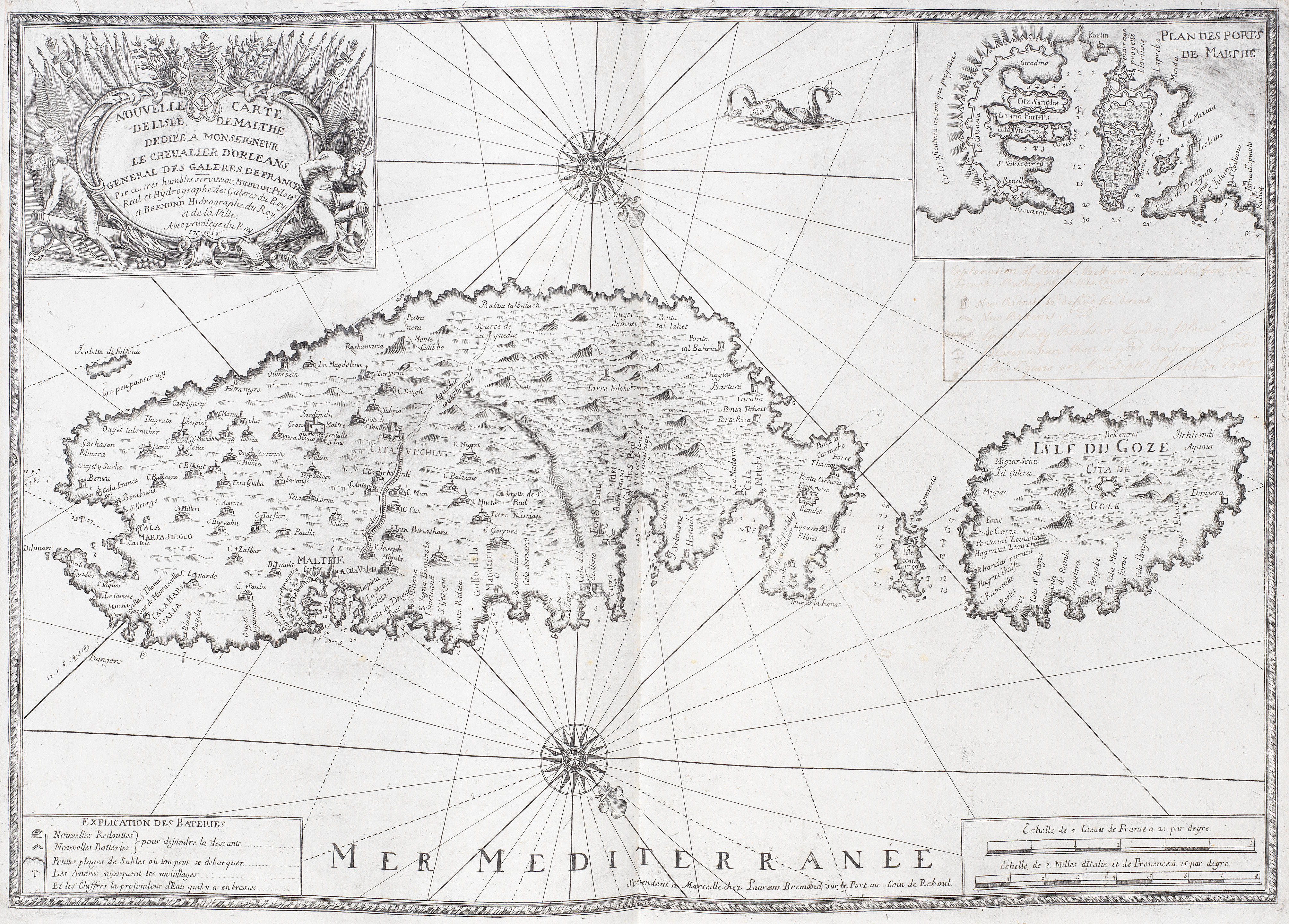
[Le Portulan de partie de la mar Mediterrannee.] [Marseilles: Michelot and Brémond, 1715-1726.]
Folio (495 x 370 mm). 16 double-page maps (1 folding) and 3 double-page diagrams of ship construction. 19th century Morocco, ruled in gilt, spine with 6 raised bands. Rubbed, stains to covers, lacking title-page, scattered light browning.
The first, and larger, of two nautical atlases published by Michelot and Brémond. The charts are of the Mediterranean and eastern Atlantic coasts, the first chart being titled "Nouvelle carte des côtes de l'ocean contenant les côtes de Portugal et Barbarie... et les Isles de Canaries." The British Library holds four similar untitled sets of Mediterranean charts by Michelot and Brémond, Shirley noting that these also comprise the sixteen charts and three plates of ships (Shirley BL M.MICH-1a-1d). Little is known of the lives of the authors
.jpg)
.jpg?w=400)

.jpg)


Testen Sie LotSearch und seine Premium-Features 7 Tage - ohne Kosten!
Lassen Sie sich automatisch über neue Objekte in kommenden Auktionen benachrichtigen.
Suchauftrag anlegen