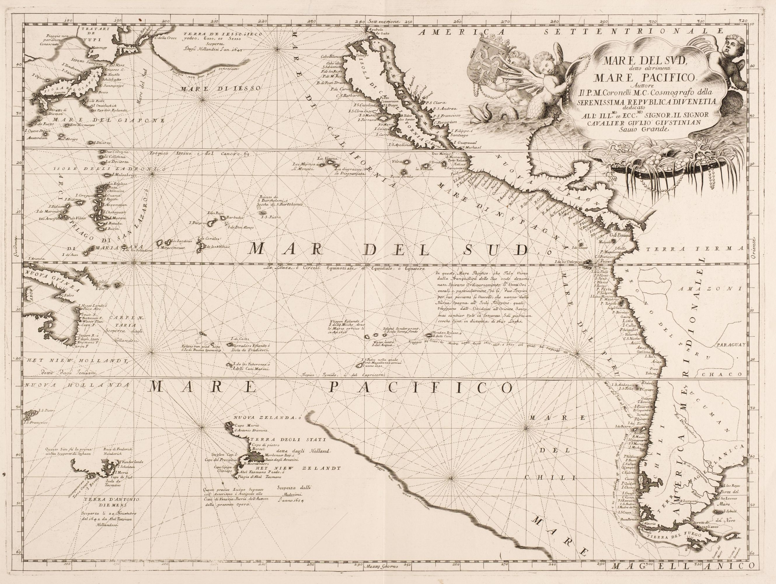
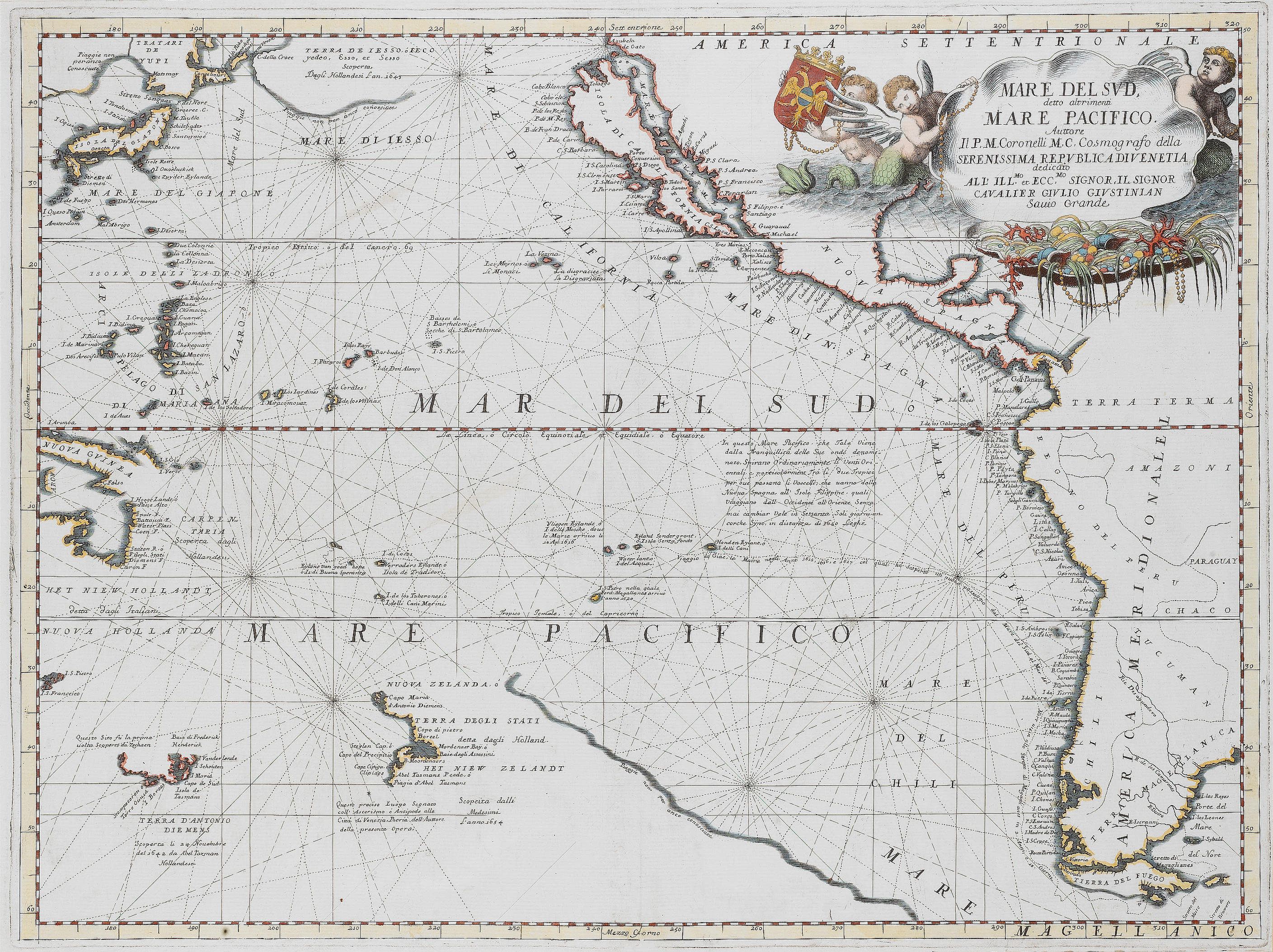
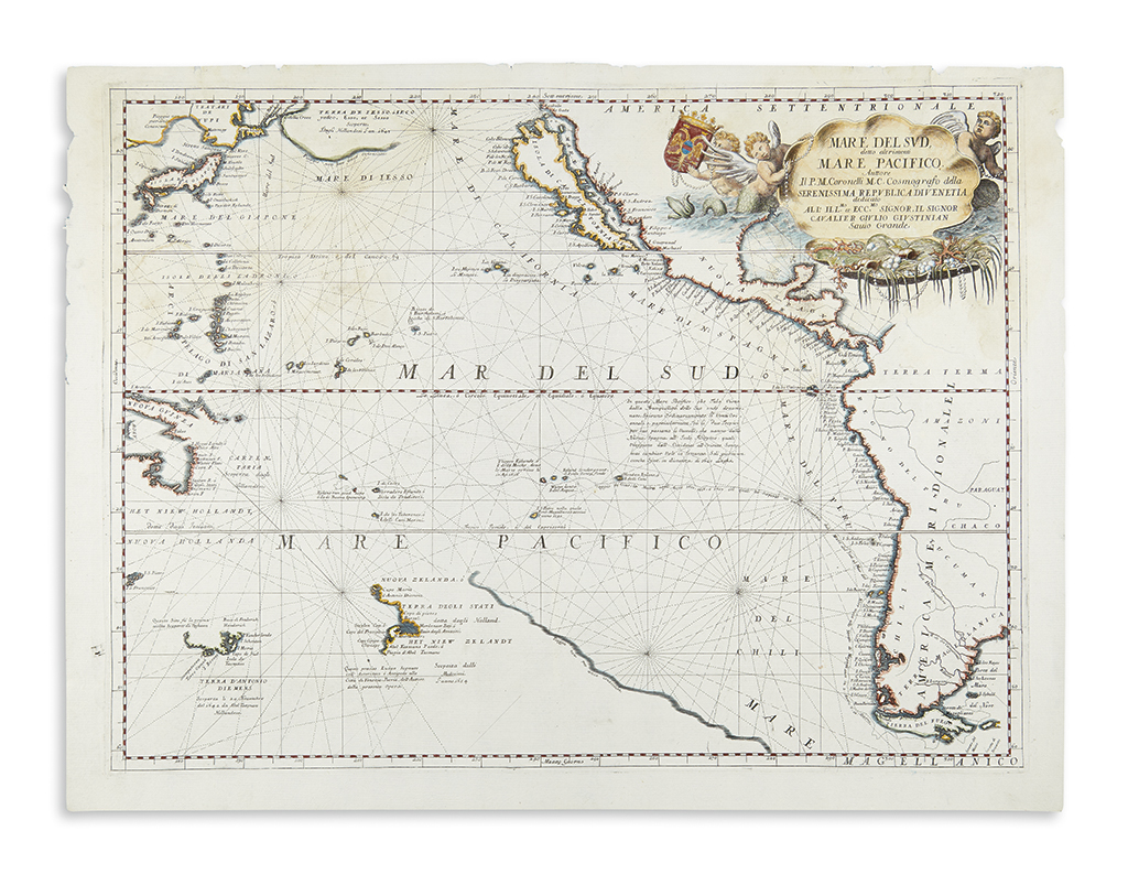
Title: Mare del Sud, detto altrimenti Mare Pacifico Author: Coronelli, Vincenzo Maria Place: [Venice] Publisher: Date: [c.1691] Description: Copper-engraved map, hand-colored in outline, with colored pictorial cartouche. 45x60.4 cm. (17¾x24"). One of the great maps of the Pacific, handsomely engraved on heavy Italian laid paper, with a fanciful maritime cartouche with the title in an opened shell, surrounded by coral, pearls and nereids. Depicts the west coast of America with California shown as an island. New Zealand is shown at bottom as a land of great extent and with an eastern coastline marked 'not yet well known' and a note 'discovered by the Dutch in 1654'. Southern Tasmania and a part of Australia are shown to the west. It features the track of the 1615-17 voyage by Lemaire, who was the first to enter the Pacific by rounding Cape Horn, discovering that Tierro del Fuego was not part of the southern continent, 'Terra Australis'. Includes Japan, separated by only 50 degrees from the California coast. 'Terra Yesso' is shown as having been discovered by the Dutch in 1645. Clancy, Mapping of Terra Australis, 6.20; McLoughlin 104; Tooley, Mapping of Australia, 350. Provenance: H. Lawrence Wilsey of Pebble Beach, California. Lot Amendments Condition: Verso repair along centerfold, with rubbing adjacent to it so the paper is thin in places, repaired tear at center of map, a few neat repairs at edges, minor edge chips, light soiling, good to very good. Item number: 288488
Title: Mare del Sud, detto altrimenti Mare Pacifico Author: Coronelli, Vincenzo Maria Place: [Venice] Publisher: Date: [c.1691] Description: Copper-engraved map, hand-colored in outline, with colored pictorial cartouche. 45x60.4 cm. (17¾x24"). One of the great maps of the Pacific, handsomely engraved on heavy Italian laid paper, with a fanciful maritime cartouche with the title in an opened shell, surrounded by coral, pearls and nereids. Depicts the west coast of America with California shown as an island. New Zealand is shown at bottom as a land of great extent and with an eastern coastline marked 'not yet well known' and a note 'discovered by the Dutch in 1654'. Southern Tasmania and a part of Australia are shown to the west. It features the track of the 1615-17 voyage by Lemaire, who was the first to enter the Pacific by rounding Cape Horn, discovering that Tierro del Fuego was not part of the southern continent, 'Terra Australis'. Includes Japan, separated by only 50 degrees from the California coast. 'Terra Yesso' is shown as having been discovered by the Dutch in 1645. Clancy, Mapping of Terra Australis, 6.20; McLoughlin 104; Tooley, Mapping of Australia, 350. Provenance: H. Lawrence Wilsey of Pebble Beach, California. Lot Amendments Condition: Verso repair along centerfold, with rubbing adjacent to it so the paper is thin in places, repaired tear at center of map, a few neat repairs at edges, minor edge chips, light soiling, good to very good. Item number: 288488





Testen Sie LotSearch und seine Premium-Features 7 Tage - ohne Kosten!
Lassen Sie sich automatisch über neue Objekte in kommenden Auktionen benachrichtigen.
Suchauftrag anlegen