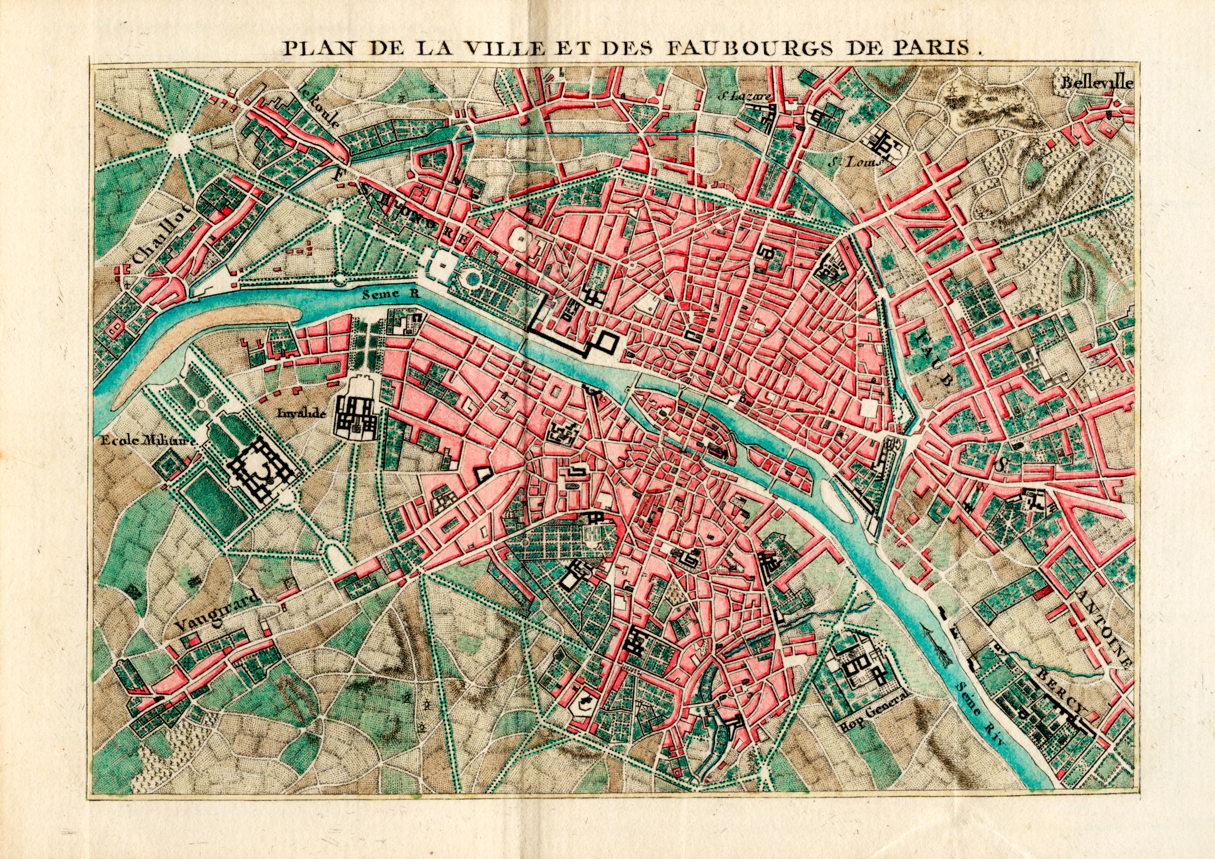
Bonne, (Rigobert)
Recueil de cartes sur la geographie ancienne
Paris, 1783. Folio, 16 1/4 x 11 3/4 in. (412 x 298 mm). (vi), 48, 20 (pp. 13-16 bound out of order). Illustrated with two hand-colored engraved allegorical title-pages (including one for Bonne's Atlas Moderne), engraved plate index, and 21 engraved hand-colored double-page maps (including "Carte des Regions...Nouveau Testament", No. 36 from Bonne's Atlas Moderne). Modern three-quarter tan calf over marbled paper-covered boards, red and black morocco spine labels, stamped in gilt; edges stained red; matching marbled endpapers; soiling and foxing to first title-page, contemporary ownership signature on verso of same, "Livre est a Theophile Debau 1793"; small loss in top corner of second title-page; scattered light soiling, largely in margins, of maps; dampstaining in bottom gutter of text, scattered foxing and soiling to same; bottom corners of text leaves worn; shallow tidemark in bottom fore-edge of "Table Alphabetique", bottom corners of pp. 7/8, 11-16, and 19/20 professionally repaired. Shirley T.BONN-5a
Rigobert Bonne's atlas of the ancient world, featuring 21 hand-colored maps, including those of the Roman and ancient empires, Italy, Greece, Spain, France, Britain, the Balkans, Germany, and the Holy Land. The rear of the volume includes an extended history of the various revolutions in the region, as well as ancient place names with their modern equivalents.
Often found bound with Bonne's 1783 edition of his Atlas Moderne (see Shirley T.BONN-1c and 1d), but not included here.
.jpg)


.jpg)


.jpg)
Testen Sie LotSearch und seine Premium-Features 7 Tage - ohne Kosten!
Lassen Sie sich automatisch über neue Objekte in kommenden Auktionen benachrichtigen.
Suchauftrag anlegen